385 Old 97 Way Madison Heights, VA 24572
Estimated Value: $162,000 - $330,000
3
Beds
1
Bath
1,536
Sq Ft
$159/Sq Ft
Est. Value
About This Home
This home is located at 385 Old 97 Way, Madison Heights, VA 24572 and is currently estimated at $244,486, approximately $159 per square foot. 385 Old 97 Way is a home located in Amherst County with nearby schools including Elon Elementary School, Monelison Middle School, and Amherst County High School.
Ownership History
Date
Name
Owned For
Owner Type
Purchase Details
Closed on
Jan 2, 2007
Sold by
Hall Elsie Tyree
Bought by
Watts Clayton A
Current Estimated Value
Home Financials for this Owner
Home Financials are based on the most recent Mortgage that was taken out on this home.
Original Mortgage
$120,000
Outstanding Balance
$72,348
Interest Rate
6.37%
Mortgage Type
New Conventional
Estimated Equity
$172,138
Create a Home Valuation Report for This Property
The Home Valuation Report is an in-depth analysis detailing your home's value as well as a comparison with similar homes in the area
Home Values in the Area
Average Home Value in this Area
Purchase History
| Date | Buyer | Sale Price | Title Company |
|---|---|---|---|
| Watts Clayton A | -- | None Available |
Source: Public Records
Mortgage History
| Date | Status | Borrower | Loan Amount |
|---|---|---|---|
| Open | Watts Clayton A | $120,000 |
Source: Public Records
Tax History Compared to Growth
Tax History
| Year | Tax Paid | Tax Assessment Tax Assessment Total Assessment is a certain percentage of the fair market value that is determined by local assessors to be the total taxable value of land and additions on the property. | Land | Improvement |
|---|---|---|---|---|
| 2025 | $671 | $110,000 | $46,300 | $63,700 |
| 2024 | $671 | $235,200 | $171,500 | $63,700 |
| 2023 | $1,435 | $235,200 | $171,500 | $63,700 |
| 2022 | $1,435 | $235,200 | $171,500 | $63,700 |
| 2021 | $1,435 | $235,200 | $171,500 | $63,700 |
| 2020 | $1,435 | $235,200 | $171,500 | $63,700 |
| 2019 | $1,446 | $237,100 | $177,500 | $59,600 |
| 2018 | $1,446 | $237,100 | $177,500 | $59,600 |
| 2017 | $683 | $237,100 | $177,500 | $59,600 |
| 2016 | $683 | $237,100 | $177,500 | $59,600 |
| 2015 | $627 | $237,100 | $177,500 | $59,600 |
| 2014 | $627 | $237,100 | $177,500 | $59,600 |
Source: Public Records
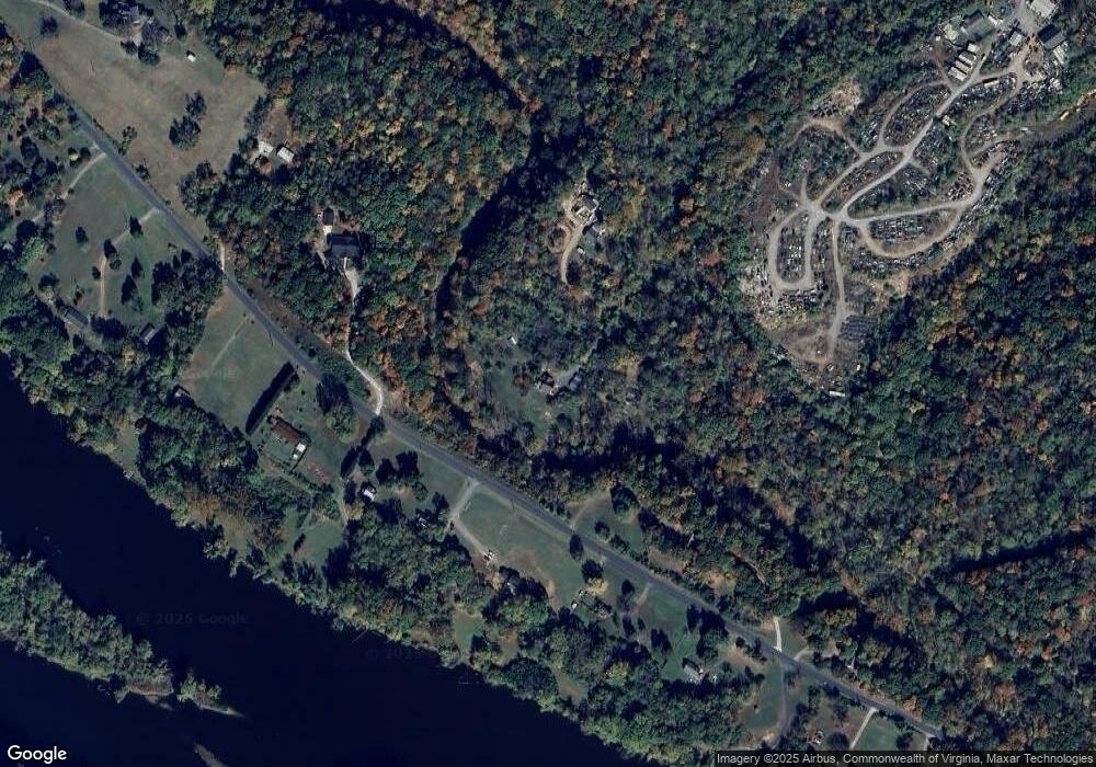
Map
Nearby Homes
- 0 Thunderbird Ridge Rd Unit 353724
- 2212 Rivermont Ave
- 48 Easton Ave
- 2243 Rivermont Ave
- 2105 Early St
- 23 Denver Ave
- 1614 Early St
- 61 Riverside Dr
- 1208 Dearing St
- 128 Riverside Dr
- 242 Cleveland Ave
- 0 Kings Rd Unit 335970
- 1340 Bedford Ave
- 2 N Princeton Cir
- 1211 Early St
- 1201 Early St
- 1019 Dearing St
- 526 Essex St
- 316 Botetourt St
- 528 Essex St