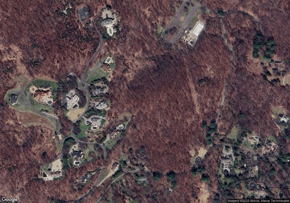
385 S Mountain Rd New City, NY 10956
Estimated Value: $328,567 - $871,000
--
Bed
--
Bath
1,220
Sq Ft
$495/Sq Ft
Est. Value
About This Home
This home is located at 385 S Mountain Rd, New City, NY 10956 and is currently estimated at $603,856, approximately $494 per square foot. 385 S Mountain Rd is a home located in Rockland County with nearby schools including Woodglen Elementary School, Felix Festa Middle School, and Clarkstown North Senior High School.
Ownership History
Date
Name
Owned For
Owner Type
Purchase Details
Closed on
Mar 26, 2021
Sold by
Betz Valerie Ann
Bought by
Palisades Interstate Park Commission
Current Estimated Value
Purchase Details
Closed on
Apr 3, 2017
Sold by
Betz Valerie Ann
Bought by
Betz Valerie Ann and Adams Lind Lu
Purchase Details
Closed on
May 19, 2009
Sold by
Betz Valerie Ann and Brunjes Fred G
Bought by
Betz Valerie Ann and Adams Linda Lu
Create a Home Valuation Report for This Property
The Home Valuation Report is an in-depth analysis detailing your home's value as well as a comparison with similar homes in the area
Home Values in the Area
Average Home Value in this Area
Purchase History
| Date | Buyer | Sale Price | Title Company |
|---|---|---|---|
| Palisades Interstate Park Commission | $237,800 | None Available | |
| Betz Valerie Ann | -- | None Available | |
| Betz Valerie Ann | -- | None Available |
Source: Public Records
Tax History Compared to Growth
Tax History
| Year | Tax Paid | Tax Assessment Tax Assessment Total Assessment is a certain percentage of the fair market value that is determined by local assessors to be the total taxable value of land and additions on the property. | Land | Improvement |
|---|---|---|---|---|
| 2024 | $23,166 | $150,300 | $149,300 | $1,000 |
| 2023 | $23,166 | $150,300 | $149,300 | $1,000 |
| 2022 | $22,321 | $150,300 | $149,300 | $1,000 |
| 2021 | $22,321 | $150,300 | $149,300 | $1,000 |
| 2020 | $13,968 | $150,300 | $149,300 | $1,000 |
| 2019 | $13,447 | $150,300 | $149,300 | $1,000 |
| 2018 | $13,447 | $150,300 | $149,300 | $1,000 |
| 2017 | $13,149 | $150,300 | $149,300 | $1,000 |
| 2016 | $13,020 | $150,300 | $149,300 | $1,000 |
| 2015 | -- | $150,300 | $149,300 | $1,000 |
| 2014 | -- | $150,300 | $149,300 | $1,000 |
Source: Public Records
Map
Nearby Homes
- 40 Central Hwy
- 100 Dowd St Unit C16
- 100 Dowd St Unit B10
- 100 Dowd St Unit 14-C
- 259 Westside Ave
- 247 Westside Ave
- 14 Malone Ave
- 5 Hirsch Dr
- 197 Ramapo Rd Unit G
- 41 Hurd Ave
- 30 Larkin Ln
- 22 Inverness Dr
- 63 Westside Ave
- 21 Tulip Tree Dr
- 165 Gurnee Ave
- 33 Muntz Ln
- 20 Denver Dr
- 59 Sand St
- 597 S Mountain Rd
- 22 High St
