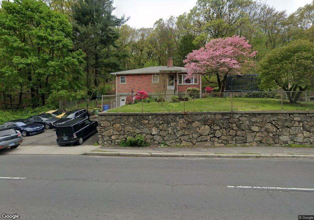
385 Wolcott St Waterbury, CT 06705
North End District NeighborhoodEstimated Value: $169,000 - $258,516
3
Beds
2
Baths
1,200
Sq Ft
$193/Sq Ft
Est. Value
About This Home
This home is located at 385 Wolcott St, Waterbury, CT 06705 and is currently estimated at $231,129, approximately $192 per square foot. 385 Wolcott St is a home located in New Haven County with nearby schools including Walsh School, Michael F. Wallace Middle School, and Crosby High School.
Ownership History
Date
Name
Owned For
Owner Type
Purchase Details
Closed on
Oct 31, 2018
Sold by
Iadarola Rocco
Bought by
Lebron Sherrie
Current Estimated Value
Home Financials for this Owner
Home Financials are based on the most recent Mortgage that was taken out on this home.
Original Mortgage
$76,921
Outstanding Balance
$67,359
Interest Rate
4.6%
Mortgage Type
Future Advance Clause Open End Mortgage
Estimated Equity
$163,770
Create a Home Valuation Report for This Property
The Home Valuation Report is an in-depth analysis detailing your home's value as well as a comparison with similar homes in the area
Home Values in the Area
Average Home Value in this Area
Purchase History
| Date | Buyer | Sale Price | Title Company |
|---|---|---|---|
| Lebron Sherrie | $39,650 | -- |
Source: Public Records
Mortgage History
| Date | Status | Borrower | Loan Amount |
|---|---|---|---|
| Open | Lebron Sherrie | $76,921 |
Source: Public Records
Tax History Compared to Growth
Tax History
| Year | Tax Paid | Tax Assessment Tax Assessment Total Assessment is a certain percentage of the fair market value that is determined by local assessors to be the total taxable value of land and additions on the property. | Land | Improvement |
|---|---|---|---|---|
| 2025 | $5,394 | $119,910 | $12,670 | $107,240 |
| 2024 | $5,928 | $119,910 | $12,670 | $107,240 |
| 2023 | $6,498 | $119,910 | $12,670 | $107,240 |
| 2022 | $3,943 | $65,490 | $12,640 | $52,850 |
| 2021 | $3,943 | $65,490 | $12,640 | $52,850 |
| 2020 | $3,943 | $65,490 | $12,640 | $52,850 |
| 2019 | $3,943 | $65,490 | $12,640 | $52,850 |
| 2018 | $3,943 | $65,490 | $12,640 | $52,850 |
| 2017 | $4,236 | $70,350 | $12,640 | $57,710 |
| 2016 | $4,236 | $70,350 | $12,640 | $57,710 |
| 2015 | $4,096 | $70,350 | $12,640 | $57,710 |
| 2014 | $4,096 | $70,350 | $12,640 | $57,710 |
Source: Public Records
Map
Nearby Homes
- 311 Wolcott St
- 47 Wacona Ave
- 4 Esperon St
- 158 Monroe Ave
- 204 Bouley Ave
- 0 Miller St Unit 24133218
- 0 Miller St Unit 24042290
- 341 Oak St
- 175 Academy Ave
- 31 Eastwood Ave
- 18 Dallas Ave
- 49 Radcliffe Ave
- 48 Gates Ave
- 39 Shelley St
- 17 Radcliffe Ave
- 95 Oak St
- 95 Catherine Ave
- 155 Southmayd Rd
- 7 Alma St
- 149 Southmayd Rd
- 391 Wolcott St
- 391 Wolcott St Unit 1st floor
- 395 Wolcott St
- 388 Wolcott St
- 394 Wolcott St
- 366 St Unit 2
- 366 Wolcott St
- 404 Wolcott St
- 23 Bouley Ave
- 39 Bouley Ave
- 0 Manor Ave
- 29 Bouley Ave
- 411 Wolcott St
- 9 Bouley Ave
- 49 Bouley Ave
- 414 Wolcott St
- 419 Wolcott St
- 59 Bouley Ave
- 42 Bouley Ave
- 421 Wolcott St