3865 Bird Dog Ln Deland, FL 32724
North DeLand NeighborhoodEstimated Value: $1,119,000 - $2,011,888
6
Beds
7
Baths
6,048
Sq Ft
$259/Sq Ft
Est. Value
About This Home
This home is located at 3865 Bird Dog Ln, Deland, FL 32724 and is currently estimated at $1,565,444, approximately $258 per square foot. 3865 Bird Dog Ln is a home with nearby schools including George W. Marks Elementary School, Deland High School, and Deland Middle School.
Ownership History
Date
Name
Owned For
Owner Type
Purchase Details
Closed on
Nov 26, 2019
Sold by
Massebeau Thomas C and Massebeau Patricia A
Bought by
Hollmann Mark W and Hollmann Stacia
Current Estimated Value
Purchase Details
Closed on
Aug 6, 1997
Sold by
Stoudenmire Groves Inc
Bought by
Hollman Mark W and Hollmann Stacia
Home Financials for this Owner
Home Financials are based on the most recent Mortgage that was taken out on this home.
Original Mortgage
$158,341
Interest Rate
7.59%
Mortgage Type
Purchase Money Mortgage
Create a Home Valuation Report for This Property
The Home Valuation Report is an in-depth analysis detailing your home's value as well as a comparison with similar homes in the area
Home Values in the Area
Average Home Value in this Area
Purchase History
| Date | Buyer | Sale Price | Title Company |
|---|---|---|---|
| Hollmann Mark W | -- | Attorney | |
| Hollman Mark W | $165,000 | -- |
Source: Public Records
Mortgage History
| Date | Status | Borrower | Loan Amount |
|---|---|---|---|
| Previous Owner | Hollman Mark W | $158,341 |
Source: Public Records
Tax History Compared to Growth
Tax History
| Year | Tax Paid | Tax Assessment Tax Assessment Total Assessment is a certain percentage of the fair market value that is determined by local assessors to be the total taxable value of land and additions on the property. | Land | Improvement |
|---|---|---|---|---|
| 2025 | $10,445 | $807,127 | -- | -- |
| 2024 | $10,445 | $626,563 | -- | -- |
| 2023 | $10,445 | $608,267 | $0 | $0 |
| 2022 | $10,330 | $590,600 | $0 | $0 |
| 2021 | $10,801 | $573,448 | $0 | $0 |
| 2020 | $10,596 | $565,554 | $0 | $0 |
| 2019 | $11,030 | $552,862 | $0 | $0 |
| 2018 | $11,089 | $542,536 | $0 | $0 |
| 2017 | $11,313 | $531,411 | $0 | $0 |
| 2016 | $10,852 | $520,515 | $0 | $0 |
| 2015 | $11,088 | $516,909 | $0 | $0 |
| 2014 | $10,966 | $512,820 | $0 | $0 |
Source: Public Records
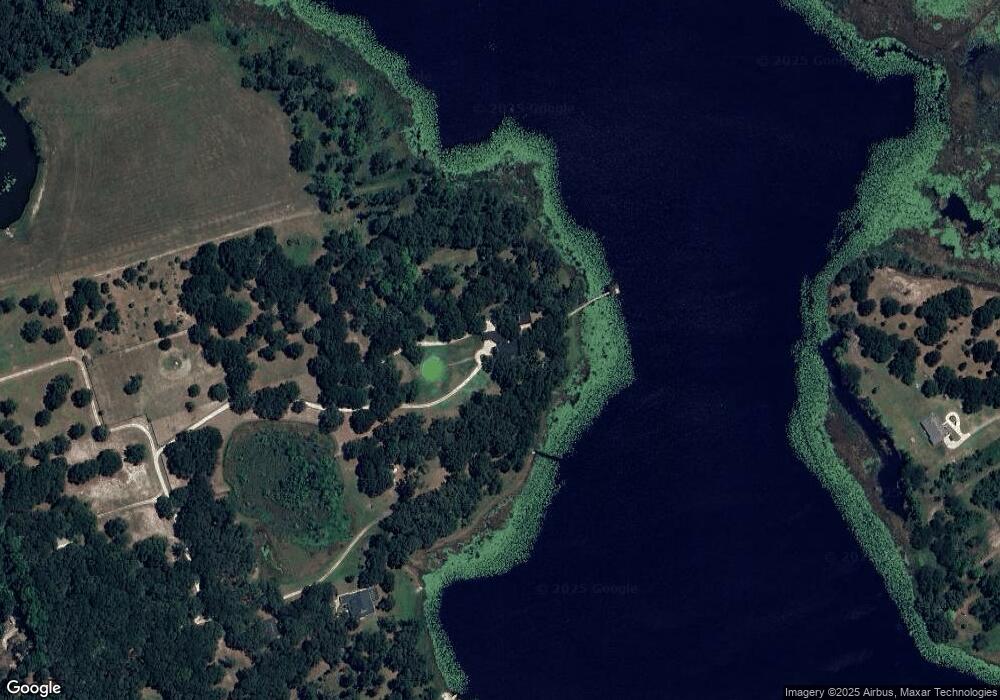
Map
Nearby Homes
- 4370 Grant St
- 1061 Marcy Dr
- 4164 New Marsh Rd
- 4055 State Road 11
- 1077 Quail Dr
- 3282 Country Ln
- 1013 Quail Dr
- 1061 Robin Dr
- 1020 Quail Dr
- 1029 Robin Dr
- 1021 Robin Dr
- 4115 Double Cut Dr
- 987 Robin Dr
- 979 Robin Dr
- 924 Quail Dr
- 3609 Aquamarine Dr
- 3614 Aquamarine Dr
- 3605 Aquamarine Dr
- 1040 Cedar Glen Dr
- 3613 Azurite Ct
- 3845 Bird Dog Ln
- 3825 Bird Dog Ln
- 3885 Bird Dog Ln
- 0 Bird Dog Ln
- 1100 Dove Hunter Rd
- 3880 Marsh Rd
- 3860 Bird Dog Ln
- 1091 Stoudenmire Rd
- 3840 Bird Dog Ln
- 994 Island Grove Dr
- 1001 Dove Hunter Rd
- 990 Island Grove Dr
- 1090 Stoudenmire Rd
- 3685 Cross Branch Rd
- 3800 Marsh Rd
- 986 Island Grove Dr
- 3854 Marsh Rd
- 1080 Stoudenmire Rd
- 985 Island Grove Dr
- 975 Island Grove Dr