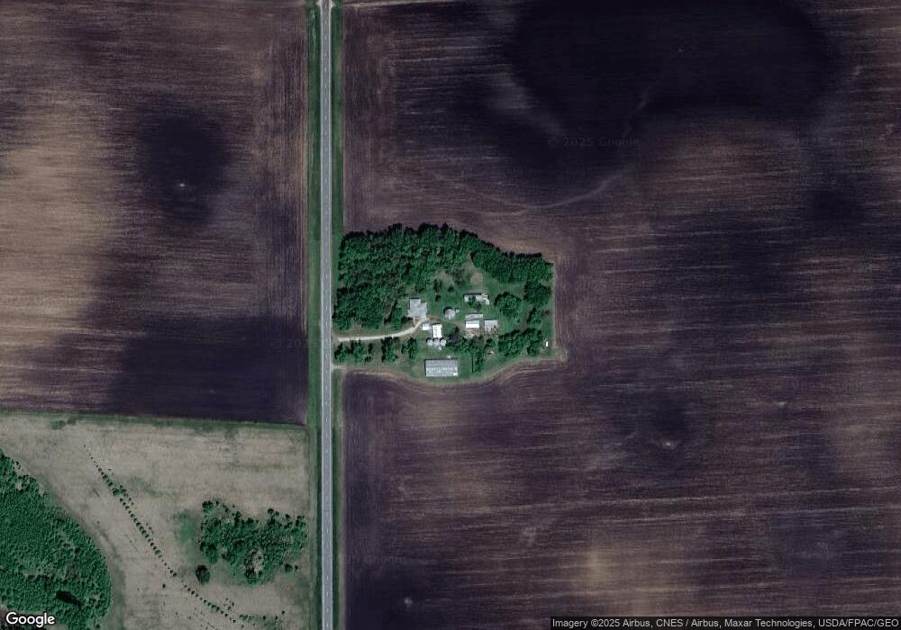
38696 670th Ave Butterfield, MN 56120
Estimated Value: $259,797 - $267,000
3
Beds
2
Baths
1,480
Sq Ft
$178/Sq Ft
Est. Value
About This Home
This home is located at 38696 670th Ave, Butterfield, MN 56120 and is currently estimated at $263,399, approximately $177 per square foot. 38696 670th Ave is a home located in Watonwan County with nearby schools including Armstrong School, Northside Elementary School, and St. James High School.
Create a Home Valuation Report for This Property
The Home Valuation Report is an in-depth analysis detailing your home's value as well as a comparison with similar homes in the area
Home Values in the Area
Average Home Value in this Area
Tax History Compared to Growth
Tax History
| Year | Tax Paid | Tax Assessment Tax Assessment Total Assessment is a certain percentage of the fair market value that is determined by local assessors to be the total taxable value of land and additions on the property. | Land | Improvement |
|---|---|---|---|---|
| 2025 | $1,452 | $247,300 | $83,300 | $164,000 |
| 2024 | $1,336 | $261,300 | $87,000 | $174,300 |
| 2023 | $1,100 | $245,800 | $87,000 | $158,800 |
| 2022 | $788 | $189,300 | $78,700 | $110,600 |
| 2021 | $828 | $136,700 | $48,800 | $87,900 |
| 2020 | $812 | $144,000 | $50,300 | $93,700 |
| 2019 | $722 | $144,700 | $50,300 | $94,400 |
| 2018 | $696 | $132,900 | $46,900 | $86,000 |
| 2016 | $538 | $127,100 | $49,700 | $77,400 |
| 2014 | -- | $132,200 | $50,500 | $81,700 |
Source: Public Records
Map
Nearby Homes
- 69193 380th St
- 0 Tbd S Third St Unit TBD Third St S
- 0 Parcel Id# 05 510 0010 Unit 7037951
- 0 Parcel Id# 05 510 0020 Unit 7037952
- 0 Parcel Id Unit 5.510.0040 7037953
- 0 Parcel Id Unit 5.510.0050 7037954
- 0 Parcel Id Unit 5.510.0060 7037955
- 525 Elwell Ave
- 325 3rd St N
- 204 N 2nd St
- 105 S 2nd St
- 35726 710th Ave
- 601 Levee Blvd
- 200 10th Ave S
- 914 3rd St S
- 207 7th Ave S
- 1007 5th St S
- 1023 Armstrong Blvd S
- 503 9th Ave S
- 915 Armstrong Blvd S