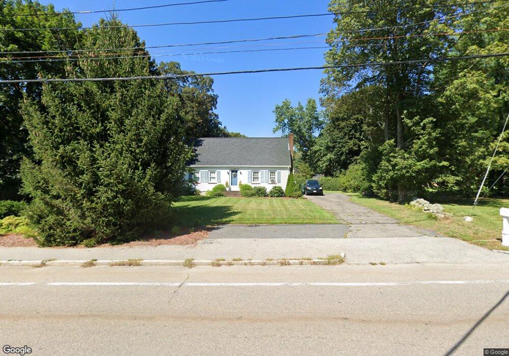
387 East St Wrentham, MA 02093
Estimated Value: $577,248 - $614,000
2
Beds
1
Bath
1,558
Sq Ft
$385/Sq Ft
Est. Value
About This Home
This home is located at 387 East St, Wrentham, MA 02093 and is currently estimated at $600,562, approximately $385 per square foot. 387 East St is a home located in Norfolk County with nearby schools including Delaney Elementary School, Charles E Roderick, and Foxborough Regional Charter School.
Ownership History
Date
Name
Owned For
Owner Type
Purchase Details
Closed on
Jul 19, 2016
Sold by
Hagen Catherine A
Bought by
C Hagen Ft
Current Estimated Value
Purchase Details
Closed on
Sep 9, 1999
Sold by
Ainslie Frederick T
Bought by
Hagen Catherine A
Home Financials for this Owner
Home Financials are based on the most recent Mortgage that was taken out on this home.
Original Mortgage
$120,000
Interest Rate
7.65%
Mortgage Type
Purchase Money Mortgage
Create a Home Valuation Report for This Property
The Home Valuation Report is an in-depth analysis detailing your home's value as well as a comparison with similar homes in the area
Home Values in the Area
Average Home Value in this Area
Purchase History
| Date | Buyer | Sale Price | Title Company |
|---|---|---|---|
| C Hagen Ft | -- | -- | |
| Hagen Catherine A | $191,000 | -- |
Source: Public Records
Mortgage History
| Date | Status | Borrower | Loan Amount |
|---|---|---|---|
| Previous Owner | Hagen Catherine A | $138,000 | |
| Previous Owner | Hagen Catherine A | $120,000 | |
| Previous Owner | Hagen Catherine A | $110,000 | |
| Previous Owner | Hagen Catherine A | $109,000 |
Source: Public Records
Tax History Compared to Growth
Tax History
| Year | Tax Paid | Tax Assessment Tax Assessment Total Assessment is a certain percentage of the fair market value that is determined by local assessors to be the total taxable value of land and additions on the property. | Land | Improvement |
|---|---|---|---|---|
| 2025 | $5,575 | $481,000 | $243,600 | $237,400 |
| 2024 | $5,344 | $445,300 | $243,600 | $201,700 |
| 2023 | $5,105 | $404,500 | $221,500 | $183,000 |
| 2022 | $4,795 | $350,800 | $199,500 | $151,300 |
| 2021 | $4,529 | $321,900 | $178,200 | $143,700 |
| 2020 | $4,500 | $315,800 | $162,600 | $153,200 |
| 2019 | $4,140 | $293,200 | $147,800 | $145,400 |
| 2018 | $4,406 | $309,400 | $147,800 | $161,600 |
| 2017 | $4,125 | $289,500 | $145,000 | $144,500 |
| 2016 | $4,034 | $282,500 | $140,800 | $141,700 |
| 2015 | $3,913 | $261,200 | $135,300 | $125,900 |
| 2014 | $3,849 | $251,400 | $130,200 | $121,200 |
Source: Public Records
Map
Nearby Homes
- 362 East St
- 155 Clark Rd Unit 155
- 1 Lorraine Metcalf Dr
- 270 Dedham St
- 65 Pond St
- 10 Nature View Dr
- 15 Nature View Dr
- 319 Taunton St
- 120 Hawes St
- 483 Thurston St
- 25 Foxboro Rd
- 131 Creek St Unit 7
- 131 Washington St Unit 42
- 11 Earle Stewart Ln
- Lot 3 - 14 Earle Stewart Ln
- Lot 1 - Blueberry 2 Car Plan at King Philip Estates
- Lot 8 - Blueberry 2 Car Plan at King Philip Estates
- Lot 5 - Hughes 2 car Plan at King Philip Estates
- Lot 6 - Blueberry 3 Car Plan at King Philip Estates
- Lot 2 - Camden 2 Car Plan at King Philip Estates