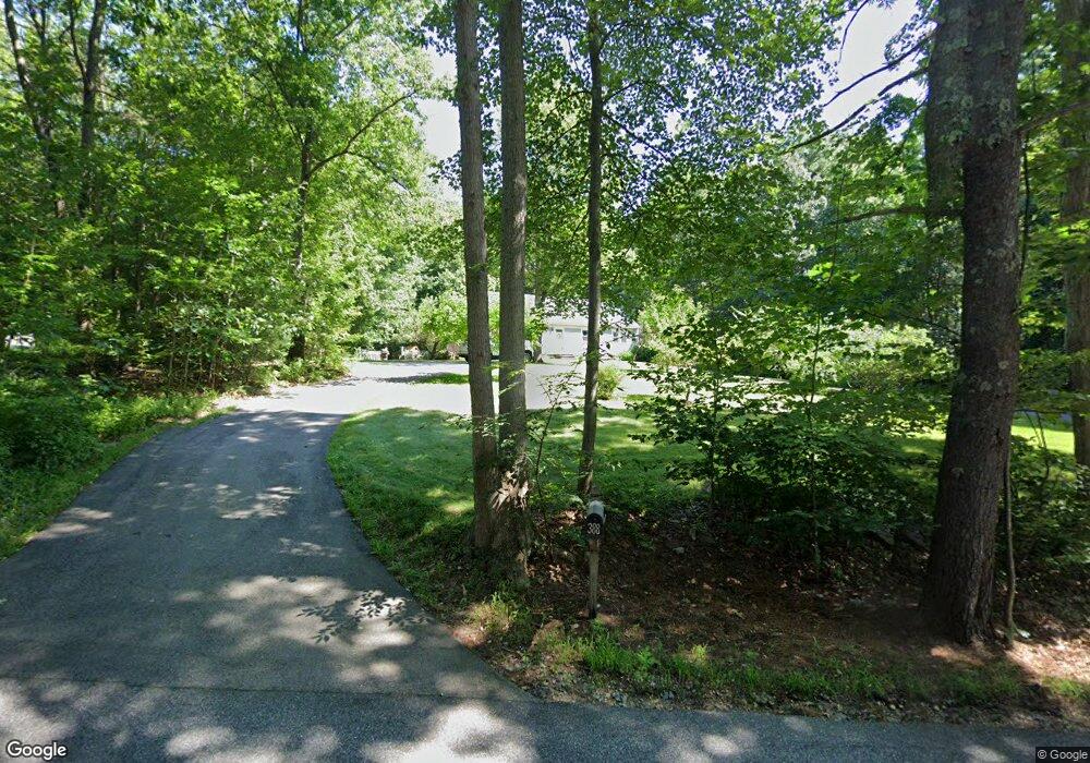
388 Tibbetts Hill Rd Goffstown, NH 03045
Estimated Value: $542,887 - $662,000
5
Beds
3
Baths
2,352
Sq Ft
$259/Sq Ft
Est. Value
About This Home
This home is located at 388 Tibbetts Hill Rd, Goffstown, NH 03045 and is currently estimated at $609,472, approximately $259 per square foot. 388 Tibbetts Hill Rd is a home with nearby schools including Mountain View Middle School and Goffstown High School.
Ownership History
Date
Name
Owned For
Owner Type
Purchase Details
Closed on
Aug 13, 2021
Sold by
Berthol D Boucher Ret
Bought by
Morrison Catherine A and Mcgrail Thomas P
Current Estimated Value
Home Financials for this Owner
Home Financials are based on the most recent Mortgage that was taken out on this home.
Original Mortgage
$308,000
Outstanding Balance
$280,067
Interest Rate
2.9%
Mortgage Type
Purchase Money Mortgage
Estimated Equity
$329,405
Purchase Details
Closed on
Jun 27, 2014
Sold by
Boucher Berthol D and Boucher Lisa A
Bought by
Boucher Bert D
Create a Home Valuation Report for This Property
The Home Valuation Report is an in-depth analysis detailing your home's value as well as a comparison with similar homes in the area
Home Values in the Area
Average Home Value in this Area
Purchase History
| Date | Buyer | Sale Price | Title Company |
|---|---|---|---|
| Morrison Catherine A | $385,000 | None Available | |
| Boucher Bert D | -- | -- |
Source: Public Records
Mortgage History
| Date | Status | Borrower | Loan Amount |
|---|---|---|---|
| Open | Morrison Catherine A | $308,000 |
Source: Public Records
Tax History Compared to Growth
Tax History
| Year | Tax Paid | Tax Assessment Tax Assessment Total Assessment is a certain percentage of the fair market value that is determined by local assessors to be the total taxable value of land and additions on the property. | Land | Improvement |
|---|---|---|---|---|
| 2024 | $9,488 | $464,200 | $183,900 | $280,300 |
| 2023 | $8,755 | $464,200 | $183,900 | $280,300 |
| 2022 | $8,093 | $307,600 | $119,400 | $188,200 |
| 2021 | $7,635 | $307,600 | $119,400 | $188,200 |
| 2020 | $7,635 | $307,600 | $119,400 | $188,200 |
| 2019 | $7,561 | $307,600 | $119,400 | $188,200 |
| 2018 | $5,721 | $307,600 | $119,400 | $188,200 |
| 2017 | $7,428 | $270,900 | $99,400 | $171,500 |
| 2016 | $7,160 | $270,900 | $99,400 | $171,500 |
| 2015 | $6,989 | $248,200 | $85,400 | $162,800 |
| 2014 | $6,701 | $248,200 | $85,400 | $162,800 |
Source: Public Records
Map
Nearby Homes
- 602 Black Brook Rd
- 30 Horizon Dr
- 45 Range Rd
- 22 Peppermint St
- 10 Serenitas Ln
- 22 Winter Hill Rd
- 2 Larch St Unit 1
- 0 Fairway Dr Unit 11
- 22 Fairway Dr
- 227 Twist Hill Rd
- 500 E Dunbarton Rd
- 137 Elm St
- 328 E Dunbarton Rd
- 99 Elm St
- 501 E Dunbarton Rd
- 152 S Mast St
- 163 Woodview Way Unit 2
- 88 Saunders Rd
- 120 S Mast St
- 78 Rangeway Rd
- 396 Tibbetts Hill Rd
- 402 Tibbetts Hill Rd
- 11 Hoyt Rd
- 7 Hoyt Rd
- 403 Tibbetts Hill Rd
- 408 Tibbetts Hill Rd
- 372 Tibbetts Hill Rd
- 15 Hoyt Rd
- 597 Black Brook Rd
- 371 Tibbetts Hill Rd
- 19 Hoyt Rd
- 16 Hoyt Rd
- 420 Tibbetts Hill Rd
- 23 Hoyt Rd
- 370 Tibbetts Hill Rd
- 425 Tibbetts Hill Rd
- 428 Tibbetts Hill Rd
- 33 Hoyt Rd
- 436 Tibbetts Hill Rd