389 Billmyer Mill Rd Shepherdstown, WV 25443
Estimated Value: $479,000 - $646,000
3
Beds
2
Baths
1,981
Sq Ft
$291/Sq Ft
Est. Value
About This Home
This home is located at 389 Billmyer Mill Rd, Shepherdstown, WV 25443 and is currently estimated at $576,848, approximately $291 per square foot. 389 Billmyer Mill Rd is a home located in Jefferson County with nearby schools including Shepherdstown Elementary School, Shepherdstown Middle School, and Jefferson High School.
Ownership History
Date
Name
Owned For
Owner Type
Purchase Details
Closed on
Jun 28, 2024
Sold by
Lutman Land Development Llc
Bought by
Wallace William E and Wallace Elizabeth A
Current Estimated Value
Home Financials for this Owner
Home Financials are based on the most recent Mortgage that was taken out on this home.
Original Mortgage
$270,000
Outstanding Balance
$266,321
Interest Rate
7.03%
Mortgage Type
VA
Estimated Equity
$310,527
Purchase Details
Closed on
May 23, 2024
Sold by
Lutman Land Development Llc
Bought by
Trent Gregory Ryan and Trent Leidy Rosa
Home Financials for this Owner
Home Financials are based on the most recent Mortgage that was taken out on this home.
Original Mortgage
$270,000
Outstanding Balance
$266,321
Interest Rate
7.03%
Mortgage Type
VA
Estimated Equity
$310,527
Create a Home Valuation Report for This Property
The Home Valuation Report is an in-depth analysis detailing your home's value as well as a comparison with similar homes in the area
Home Values in the Area
Average Home Value in this Area
Purchase History
| Date | Buyer | Sale Price | Title Company |
|---|---|---|---|
| Wallace William E | $564,999 | None Listed On Document | |
| Wallace William E | $564,999 | None Listed On Document | |
| Trent Gregory Ryan | $600,000 | None Listed On Document |
Source: Public Records
Mortgage History
| Date | Status | Borrower | Loan Amount |
|---|---|---|---|
| Open | Wallace William E | $270,000 | |
| Closed | Wallace William E | $270,000 |
Source: Public Records
Tax History Compared to Growth
Tax History
| Year | Tax Paid | Tax Assessment Tax Assessment Total Assessment is a certain percentage of the fair market value that is determined by local assessors to be the total taxable value of land and additions on the property. | Land | Improvement |
|---|---|---|---|---|
| 2025 | $2,618 | $225,300 | $83,100 | $142,200 |
| 2024 | $2,226 | $190,200 | $59,300 | $130,900 |
| 2023 | $2,222 | $190,200 | $59,300 | $130,900 |
| 2022 | $1,964 | $164,800 | $48,200 | $116,600 |
| 2021 | $1,838 | $151,300 | $48,200 | $103,100 |
| 2020 | $1,681 | $147,700 | $43,400 | $104,300 |
| 2019 | $1,722 | $148,500 | $43,400 | $105,100 |
| 2018 | $1,667 | $141,900 | $39,400 | $102,500 |
| 2017 | $1,649 | $140,400 | $37,900 | $102,500 |
| 2016 | $1,618 | $138,100 | $34,500 | $103,600 |
| 2015 | $1,551 | $131,700 | $34,500 | $97,200 |
| 2014 | $1,562 | $132,900 | $34,500 | $98,400 |
Source: Public Records
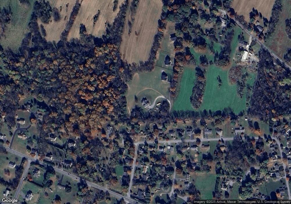
Map
Nearby Homes
- 11 Marsh Hawk Way
- 21 Rock Spring Ln
- 71 Cardinal Dr
- 133 Meadowlark Ln
- 136 Woodcock Ave
- 7765 Martinsburg Pike
- 174 Byer Ln
- 99 Exeter Ct
- 60 Horner Farm Ln
- 54 Raven Way
- 115 Swearingen Way
- 420 Starkeys Landing
- 51 Swearingen Way
- 46 Finch Ln
- 302 Starkeys Landing
- 286 Starkeys Landing
- LOt 9 Shepherds Cove Swift River Way
- 185 Shepherd Ln
- Lot 3 Martinsburg Pike
- Lot 2 Martinsburg Pike
- 397 Wines Way
- 397 Chancellors Choice Dr
- 145 Berridge Dr
- 125 Berridge Dr
- 163 Berridge Dr
- 10 Scott Dr
- 32 Scott Dr
- 181 Berridge Dr
- 54 Scott Dr
- 199 Berridge Dr
- 136 Berridge Dr
- 142 Berridge Dr
- 0 Scott Dr Unit JF6583537
- 126 Berridge Dr
- 164 Berridge Dr
- 219 Berridge Dr
- 178 Berridge Dr
- 29 Scott Dr
- 88 Scott Dr
- 235 Berridge Dr