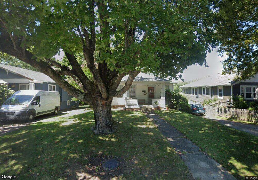
39 Baker Ave Asheville, NC 28806
West Asheville NeighborhoodEstimated Value: $370,000 - $401,000
2
Beds
1
Bath
1,046
Sq Ft
$370/Sq Ft
Est. Value
About This Home
This home is located at 39 Baker Ave, Asheville, NC 28806 and is currently estimated at $387,488, approximately $370 per square foot. 39 Baker Ave is a home located in Buncombe County with nearby schools including Hall Fletcher Elementary, Isaac Dickson Elementary, and Ira B Jones Elementary.
Ownership History
Date
Name
Owned For
Owner Type
Purchase Details
Closed on
Feb 23, 2022
Sold by
James Webb Michael
Bought by
Matz Barbara
Current Estimated Value
Home Financials for this Owner
Home Financials are based on the most recent Mortgage that was taken out on this home.
Original Mortgage
$221,000
Outstanding Balance
$205,215
Interest Rate
3.55%
Mortgage Type
New Conventional
Estimated Equity
$182,273
Purchase Details
Closed on
May 18, 2012
Sold by
Ramsey Allen Edward and Ramsey Linda Dianne
Bought by
Webb Michael James
Home Financials for this Owner
Home Financials are based on the most recent Mortgage that was taken out on this home.
Original Mortgage
$96,300
Interest Rate
3.75%
Mortgage Type
Adjustable Rate Mortgage/ARM
Create a Home Valuation Report for This Property
The Home Valuation Report is an in-depth analysis detailing your home's value as well as a comparison with similar homes in the area
Home Values in the Area
Average Home Value in this Area
Purchase History
| Date | Buyer | Sale Price | Title Company |
|---|---|---|---|
| Matz Barbara | $382,000 | Phillip C Price Law Firm Pllc | |
| Webb Michael James | $107,000 | None Available |
Source: Public Records
Mortgage History
| Date | Status | Borrower | Loan Amount |
|---|---|---|---|
| Open | Matz Barbara | $221,000 | |
| Previous Owner | Webb Michael James | $96,300 |
Source: Public Records
Tax History Compared to Growth
Tax History
| Year | Tax Paid | Tax Assessment Tax Assessment Total Assessment is a certain percentage of the fair market value that is determined by local assessors to be the total taxable value of land and additions on the property. | Land | Improvement |
|---|---|---|---|---|
| 2025 | $2,203 | $212,200 | $60,600 | $151,600 |
| 2024 | $2,203 | $212,200 | $60,600 | $151,600 |
| 2023 | $2,203 | $212,200 | $60,600 | $151,600 |
| 2022 | $1,404 | $140,800 | $0 | $0 |
| 2021 | $1,404 | $140,800 | $0 | $0 |
| 2020 | $1,243 | $115,300 | $0 | $0 |
| 2019 | $1,243 | $115,300 | $0 | $0 |
| 2018 | $1,243 | $115,300 | $0 | $0 |
| 2017 | $1,254 | $100,800 | $0 | $0 |
| 2016 | $1,239 | $100,800 | $0 | $0 |
| 2015 | $1,239 | $100,800 | $0 | $0 |
| 2014 | $1,224 | $100,800 | $0 | $0 |
Source: Public Records
Map
Nearby Homes
- 60 Dorchester Ave
- 113 Burton St
- 37 Bryant St
- 199 Pennsylvania Ave
- 43 Argyle Ln
- 74 Brucemont Cir
- 197 Brucemont Cir
- 99999 State St
- 54 Louisiana Ave
- 26 Hanover St
- 68 1/2 Nevada Ave
- 127 Pennsylvania Ave
- 140 Pennsylvania Ave
- 52 Boyd Ave
- 153 State St
- 141 State St
- 75 Nevada Ave
- 18 Jarrett St
- 31 Westwood Place
- 141 Louisiana Ave