Estimated Value: $712,015 - $945,000
5
Beds
2
Baths
2,090
Sq Ft
$383/Sq Ft
Est. Value
About This Home
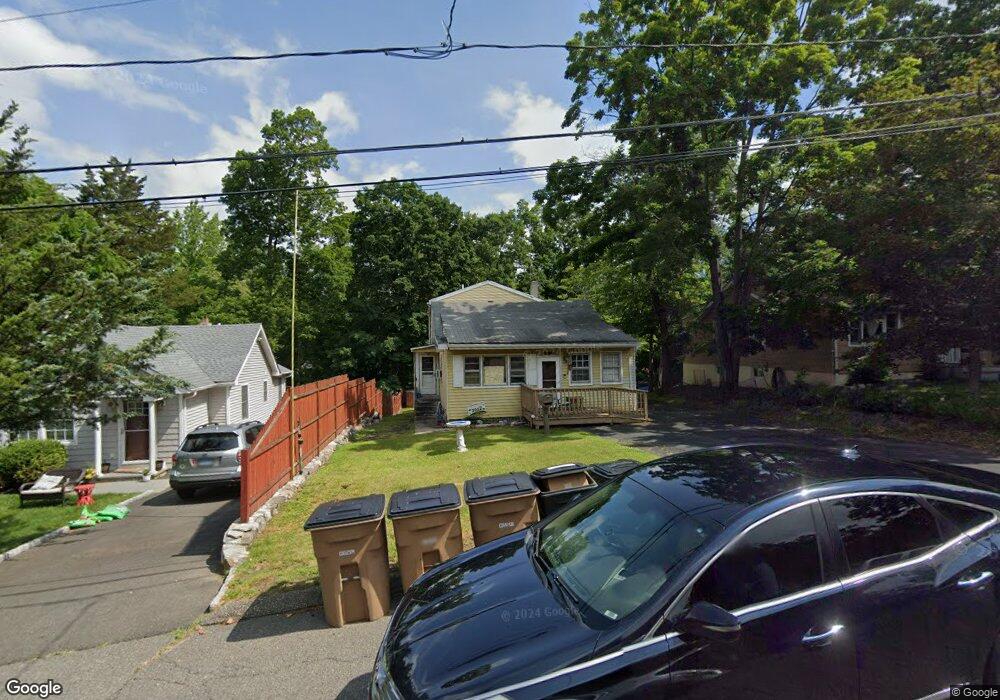
This home is located at 39 Emma Rd, Stamford, CT 06905 and is currently estimated at $800,254, approximately $382 per square foot. 39 Emma Rd is a home located in Fairfield County with nearby schools including Stillmeadow Elementary School, Cloonan School, and Westhill High School.
Ownership History
Date
Name
Owned For
Owner Type
Purchase Details
Closed on
Jun 30, 2017
Sold by
Urso Jeanne M
Bought by
Urso Steven V and Urso Jeanne M
Current Estimated Value
Purchase Details
Closed on
Apr 30, 2014
Sold by
Lupak Grace and Urso Jeanne M
Bought by
Lupak Grace and Urso Jeanne M
Create a Home Valuation Report for This Property
The Home Valuation Report is an in-depth analysis detailing your home's value as well as a comparison with similar homes in the area
Home Values in the Area
Average Home Value in this Area
Purchase History
| Date | Buyer | Sale Price | Title Company |
|---|---|---|---|
| Urso Steven V | -- | -- | |
| Urso Steven V | -- | -- | |
| Lupak Grace | -- | -- | |
| Lupak Grace | -- | -- |
Source: Public Records
Mortgage History
| Date | Status | Borrower | Loan Amount |
|---|---|---|---|
| Previous Owner | Lupak Grace | $270,000 | |
| Previous Owner | Lupak Grace | $70,000 |
Source: Public Records
Tax History Compared to Growth
Tax History
| Year | Tax Paid | Tax Assessment Tax Assessment Total Assessment is a certain percentage of the fair market value that is determined by local assessors to be the total taxable value of land and additions on the property. | Land | Improvement |
|---|---|---|---|---|
| 2025 | $8,747 | $369,710 | $227,880 | $141,830 |
| 2024 | $8,555 | $369,710 | $227,880 | $141,830 |
| 2023 | $9,191 | $369,710 | $227,880 | $141,830 |
| 2022 | $7,664 | $286,630 | $169,220 | $117,410 |
| 2021 | $7,581 | $286,630 | $169,220 | $117,410 |
| 2020 | $7,386 | $286,630 | $169,220 | $117,410 |
| 2019 | $7,386 | $286,630 | $169,220 | $117,410 |
| 2018 | $7,114 | $286,630 | $169,220 | $117,410 |
| 2017 | $6,932 | $266,620 | $155,670 | $110,950 |
| 2016 | $6,737 | $266,620 | $155,670 | $110,950 |
| 2015 | $6,562 | $266,620 | $155,670 | $110,950 |
| 2014 | $6,343 | $266,620 | $155,670 | $110,950 |
Source: Public Records
Map
Nearby Homes
- 27 Emma Rd
- 21 Nichols Ave
- 113 Wood Ridge Dr
- 34 Bradley Place
- 56 Bradley Place
- 31 Rosano Rd
- 6 Walnut Ridge Ct
- 38 Lancaster Place
- 12 Walnut Ridge Ct
- 433 High Ridge Rd
- 14 Barmore Dr
- 31 Woodridge Dr S
- 122 Brook Run Ln
- 7 the Reserve at Sterling Ridge
- 182 Turner Rd
- 160 Wire Mill Rd
- 31 Gray Farms Rd
- 22 Hastings Ln
- 39 Camore St
- 100 Hirsch Rd