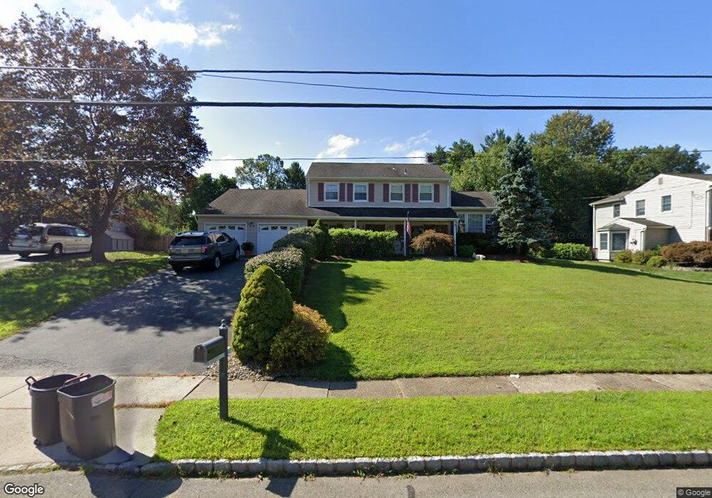
39 Fleetwood Dr Rockaway, NJ 07866
Estimated Value: $673,872 - $832,000
--
Bed
--
Bath
2,231
Sq Ft
$343/Sq Ft
Est. Value
About This Home
This home is located at 39 Fleetwood Dr, Rockaway, NJ 07866 and is currently estimated at $765,218, approximately $342 per square foot. 39 Fleetwood Dr is a home located in Morris County with nearby schools including Dennis B O Brien School, Copeland Middle School, and Divine Mercy Academy.
Ownership History
Date
Name
Owned For
Owner Type
Purchase Details
Closed on
Jul 22, 2005
Sold by
Tsemberlis Nikolaus
Bought by
Dodgson Jeffrey and Dodgson Moira
Current Estimated Value
Home Financials for this Owner
Home Financials are based on the most recent Mortgage that was taken out on this home.
Original Mortgage
$350,000
Outstanding Balance
$182,350
Interest Rate
5.63%
Mortgage Type
New Conventional
Estimated Equity
$582,868
Purchase Details
Closed on
May 20, 1997
Sold by
Bethune Vernon and Bethune Golden H
Bought by
Tsemberlis Nikolaus and Tsemberlis Stephanie
Create a Home Valuation Report for This Property
The Home Valuation Report is an in-depth analysis detailing your home's value as well as a comparison with similar homes in the area
Home Values in the Area
Average Home Value in this Area
Purchase History
| Date | Buyer | Sale Price | Title Company |
|---|---|---|---|
| Dodgson Jeffrey | $602,000 | -- | |
| Tsemberlis Nikolaus | $230,000 | -- |
Source: Public Records
Mortgage History
| Date | Status | Borrower | Loan Amount |
|---|---|---|---|
| Open | Dodgson Jeffrey | $350,000 |
Source: Public Records
Tax History Compared to Growth
Tax History
| Year | Tax Paid | Tax Assessment Tax Assessment Total Assessment is a certain percentage of the fair market value that is determined by local assessors to be the total taxable value of land and additions on the property. | Land | Improvement |
|---|---|---|---|---|
| 2025 | $11,764 | $501,300 | $206,100 | $295,200 |
| 2024 | $11,346 | $458,800 | $179,900 | $278,900 |
| 2023 | $11,346 | $432,400 | $168,500 | $263,900 |
| 2022 | $10,790 | $401,200 | $149,500 | $251,700 |
| 2021 | $10,790 | $380,200 | $139,400 | $240,800 |
| 2020 | $10,588 | $372,700 | $137,400 | $235,300 |
| 2019 | $10,402 | $364,600 | $133,300 | $231,300 |
| 2018 | $10,497 | $362,100 | $139,300 | $222,800 |
| 2017 | $10,996 | $352,200 | $141,300 | $210,900 |
| 2016 | $10,855 | $352,200 | $141,300 | $210,900 |
| 2015 | $10,777 | $352,200 | $141,300 | $210,900 |
| 2014 | $10,577 | $352,200 | $141,300 | $210,900 |
Source: Public Records
Map
Nearby Homes
- 7 Doreen Ct
- 155 Mount Pleasant Ave
- 301 Fischer Ct Unit 301
- 83 Laurelwood Ct Unit 83
- 313 Fischer Ct Unit 313
- 208 Fischer Ct
- 1313 Bush Cir
- 39 Lenox Rd
- 135 Hawthorne Ct
- 342 Mount Pleasant Ave
- 93 Mount Pleasant Ave Unit F14
- 93 Mount Pleasant Ave Unit 9A
- 93 Mount Pleasant Ave
- 93 Mount Pleasant Ave Unit D6
- 2309 Johnson Dr Unit 309
- 2100 Johnson Dr Unit 1
- 1110 Johnson Dr
- 4 Stanley Terrace
- 1111 Clinton Ln Unit 111
- 1211 Clinton Ln