39 Linden Dr Albrightsville, PA 18210
Estimated Value: $224,000 - $283,000
3
Beds
1
Bath
960
Sq Ft
$274/Sq Ft
Est. Value
About This Home
This home is located at 39 Linden Dr, Albrightsville, PA 18210 and is currently estimated at $263,000, approximately $273 per square foot. 39 Linden Dr is a home with nearby schools including Tobyhanna Elementary Center, Clear Run Intermediate School, and Pocono Mountain West Junior High School.
Ownership History
Date
Name
Owned For
Owner Type
Purchase Details
Closed on
Aug 22, 2006
Sold by
Towson Elizabeth G
Bought by
Sotanski Mary Beth and Sotanski Peter
Current Estimated Value
Home Financials for this Owner
Home Financials are based on the most recent Mortgage that was taken out on this home.
Original Mortgage
$175,500
Outstanding Balance
$115,622
Interest Rate
8.63%
Mortgage Type
Adjustable Rate Mortgage/ARM
Estimated Equity
$147,378
Create a Home Valuation Report for This Property
The Home Valuation Report is an in-depth analysis detailing your home's value as well as a comparison with similar homes in the area
Home Values in the Area
Average Home Value in this Area
Purchase History
| Date | Buyer | Sale Price | Title Company |
|---|---|---|---|
| Sotanski Mary Beth | $195,000 | Poconon Property Abstract |
Source: Public Records
Mortgage History
| Date | Status | Borrower | Loan Amount |
|---|---|---|---|
| Open | Sotanski Mary Beth | $175,500 |
Source: Public Records
Tax History Compared to Growth
Tax History
| Year | Tax Paid | Tax Assessment Tax Assessment Total Assessment is a certain percentage of the fair market value that is determined by local assessors to be the total taxable value of land and additions on the property. | Land | Improvement |
|---|---|---|---|---|
| 2025 | $751 | $102,340 | $20,700 | $81,640 |
| 2024 | $613 | $102,340 | $20,700 | $81,640 |
| 2023 | $2,602 | $102,340 | $20,700 | $81,640 |
| 2022 | $2,556 | $102,340 | $20,700 | $81,640 |
| 2021 | $2,556 | $102,340 | $20,700 | $81,640 |
| 2020 | $2,120 | $102,340 | $20,700 | $81,640 |
| 2019 | $3,512 | $20,930 | $5,200 | $15,730 |
| 2018 | $3,512 | $20,930 | $5,200 | $15,730 |
| 2017 | $3,554 | $20,930 | $5,200 | $15,730 |
| 2016 | $701 | $20,930 | $5,200 | $15,730 |
| 2015 | -- | $20,930 | $5,200 | $15,730 |
| 2014 | -- | $20,930 | $5,200 | $15,730 |
Source: Public Records
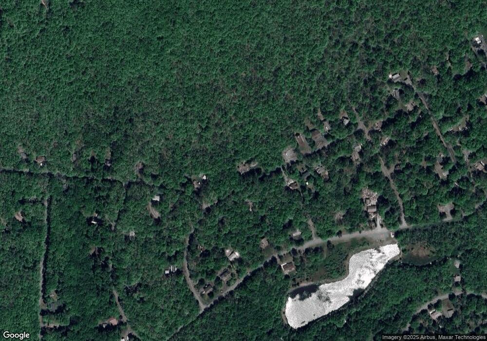
Map
Nearby Homes
- 42 Hillcrest Dr
- 271 N Shore Dr
- 611 N Shore Dr
- Lot 721 N Shore Dr
- 0 N Shore Dr Unit Lot 611 730487
- 0 Spruce Ln
- 0 Spruce Ln Unit 752359
- 218 Cherry Ln
- 309 Mountain Rd
- 65 Highridge Rd
- 67 Twin Lake Rd
- 303 Short Ridge Rd
- 37 Highridge Rd
- 13 Denise Ct
- 203 Mountain Rd
- 14 Denise Ct
- 108 Tall Oak Rd
- 119 Mountain Rd
- 0 Caddo Terrace
- 212 Mountain Rd