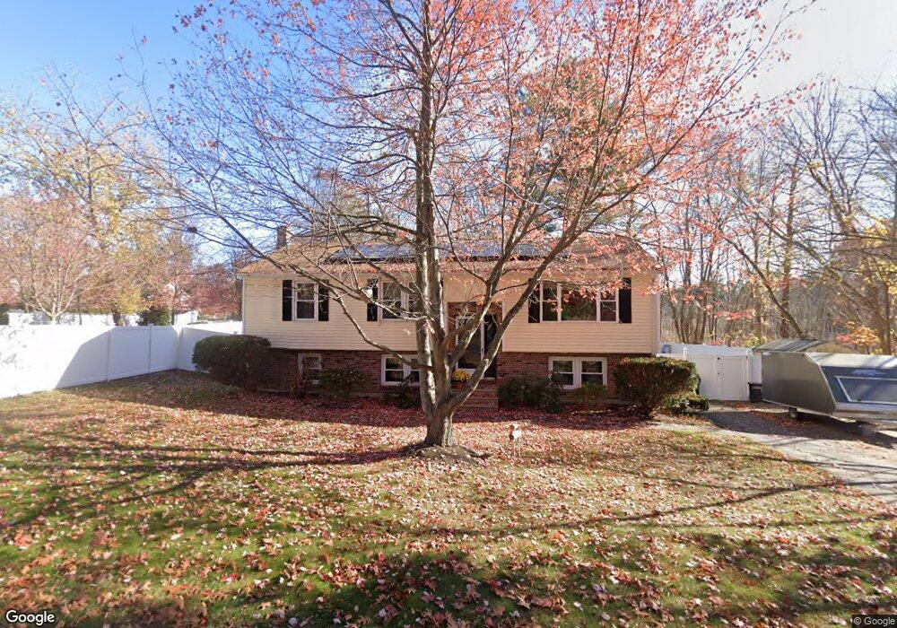
39 Middle Rd Amesbury, MA 01913
Estimated Value: $550,000 - $627,000
3
Beds
2
Baths
1,514
Sq Ft
$384/Sq Ft
Est. Value
About This Home
This home is located at 39 Middle Rd, Amesbury, MA 01913 and is currently estimated at $582,118, approximately $384 per square foot. 39 Middle Rd is a home located in Essex County with nearby schools including Amesbury High School and Amesbury Seventh-Day Adventist School.
Ownership History
Date
Name
Owned For
Owner Type
Purchase Details
Closed on
Aug 25, 1994
Sold by
Koelsch John M
Bought by
Blake Randall L and Blake Catherine
Current Estimated Value
Purchase Details
Closed on
Nov 5, 1992
Sold by
Source One Mtg Service
Bought by
Koelsch John M and Koelsch John
Purchase Details
Closed on
Jan 14, 1992
Sold by
Foley Frederick M
Bought by
Fhlmc
Create a Home Valuation Report for This Property
The Home Valuation Report is an in-depth analysis detailing your home's value as well as a comparison with similar homes in the area
Home Values in the Area
Average Home Value in this Area
Purchase History
| Date | Buyer | Sale Price | Title Company |
|---|---|---|---|
| Blake Randall L | $126,000 | -- | |
| Koelsch John M | $115,000 | -- | |
| Fhlmc | $104,850 | -- |
Source: Public Records
Mortgage History
| Date | Status | Borrower | Loan Amount |
|---|---|---|---|
| Open | Fhlmc | $22,629 | |
| Open | Fhlmc | $283,500 |
Source: Public Records
Tax History Compared to Growth
Tax History
| Year | Tax Paid | Tax Assessment Tax Assessment Total Assessment is a certain percentage of the fair market value that is determined by local assessors to be the total taxable value of land and additions on the property. | Land | Improvement |
|---|---|---|---|---|
| 2025 | $7,119 | $465,300 | $206,900 | $258,400 |
| 2024 | $7,157 | $457,600 | $195,200 | $262,400 |
| 2023 | $6,114 | $374,200 | $169,700 | $204,500 |
| 2022 | $5,841 | $330,200 | $147,600 | $182,600 |
| 2021 | $5,670 | $310,700 | $114,000 | $196,700 |
| 2020 | $4,810 | $280,000 | $109,600 | $170,400 |
| 2019 | $4,997 | $272,000 | $109,600 | $162,400 |
| 2018 | $5,188 | $273,200 | $104,400 | $168,800 |
| 2017 | $4,898 | $245,500 | $104,400 | $141,100 |
| 2016 | $4,559 | $224,800 | $104,400 | $120,400 |
| 2015 | $4,531 | $220,600 | $104,400 | $116,200 |
| 2014 | $4,337 | $206,800 | $104,400 | $102,400 |
Source: Public Records
Map
Nearby Homes
- 8 Riverview Heights
- 160 Haverhill Rd
- 1 Acadia Kimball Rd Unit 1
- 4 Acadia Kimball Rd
- 13 Bailey Pond Ln Unit 13
- 47 Cutter Ln Unit 47
- 19 Cutter Ln Unit 19
- 28 Beacon St
- 5 Moncrief St Unit 5
- 49 W Greenwood St
- 20 Hillside Ct
- 188 Lions Mouth Rd
- 31 Whitter Meadows Dr Unit 31
- The Beacon Plan at The Village At Bailey's Pond
- The Essex Plan at The Village At Bailey's Pond
- The Whaler Plan at The Village At Bailey's Pond
- The Bailey Plan at The Village At Bailey's Pond
- 60 Merrimac St Unit 907
- 60 Merrimac St Unit 604
- 1 Bisson Ln