39 Rice Dr Waynesville, NC 28785
Estimated Value: $632,000 - $686,000
3
Beds
3
Baths
1,576
Sq Ft
$416/Sq Ft
Est. Value
About This Home
This home is located at 39 Rice Dr, Waynesville, NC 28785 and is currently estimated at $655,617, approximately $416 per square foot. 39 Rice Dr is a home located in Haywood County with nearby schools including Jonathan Valley Elementary School, Waynesville Middle, and Tuscola High.
Ownership History
Date
Name
Owned For
Owner Type
Purchase Details
Closed on
Oct 5, 2006
Sold by
Doucet Jerry D and Doucet Elizabeth
Bought by
Nyland Keith and Nyland Kristine
Current Estimated Value
Home Financials for this Owner
Home Financials are based on the most recent Mortgage that was taken out on this home.
Original Mortgage
$100,000
Interest Rate
6.17%
Mortgage Type
New Conventional
Create a Home Valuation Report for This Property
The Home Valuation Report is an in-depth analysis detailing your home's value as well as a comparison with similar homes in the area
Home Values in the Area
Average Home Value in this Area
Purchase History
| Date | Buyer | Sale Price | Title Company |
|---|---|---|---|
| Nyland Keith | $380,000 | None Available |
Source: Public Records
Mortgage History
| Date | Status | Borrower | Loan Amount |
|---|---|---|---|
| Closed | Nyland Keith | $100,000 |
Source: Public Records
Tax History Compared to Growth
Tax History
| Year | Tax Paid | Tax Assessment Tax Assessment Total Assessment is a certain percentage of the fair market value that is determined by local assessors to be the total taxable value of land and additions on the property. | Land | Improvement |
|---|---|---|---|---|
| 2025 | -- | $366,900 | $70,100 | $296,800 |
| 2024 | $2,375 | $357,400 | $70,000 | $287,400 |
| 2023 | $2,375 | $357,400 | $70,000 | $287,400 |
| 2022 | $2,321 | $357,400 | $70,000 | $287,400 |
| 2021 | $2,321 | $357,400 | $70,000 | $287,400 |
| 2020 | $2,106 | $297,200 | $80,000 | $217,200 |
| 2019 | $2,111 | $297,200 | $80,000 | $217,200 |
| 2018 | $2,111 | $297,200 | $80,000 | $217,200 |
| 2017 | $2,111 | $297,200 | $0 | $0 |
| 2016 | $2,149 | $312,100 | $0 | $0 |
| 2015 | $2,149 | $312,100 | $0 | $0 |
| 2014 | $2,000 | $312,100 | $0 | $0 |
Source: Public Records
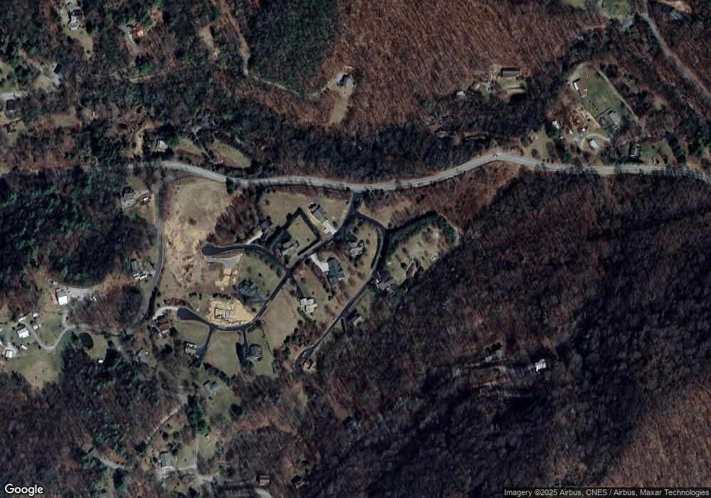
Map
Nearby Homes
- 0 Camden Downs Rd Unit Lot 9
- 00 Trickle Creek Rd
- 128 Rome Beauty Rd
- 00 Ellenberger Dr Unit 401
- 32 Sallywood Trail
- 261 Serenity Dr
- 588 Woods Rd
- 11 Prosperity Ridge
- 38 Imperial Ct
- 59 Lost Cove Rd
- 00 Shady Rest Dr Unit 37
- 9999 Divit Rd Unit 45
- 110 Clear Creek Ln
- 114 Clear Creek Ln
- 4 Roaring Creek Ln
- 000 Roaring Creek Ln
- 8 Lots Frontier Way
- 31 Windsong Dr
- 269 Oakstone Dr
- 505 Middle Top Loop
- 21 Tizwood Dr Unit 21
- 22 Tizwood Dr Unit 22
- 23 Tizwood Dr Unit 23
- 5 Tizwood Dr Unit 22
- 18 Rice Dr
- 59 Rice Dr
- Lots 22 & 23 Tizwood Dr Unit 22&23
- 000 Rome Beauty Rd
- 11 Rice Dr Unit 11
- 46 Rice Dr Unit 1
- 35 Gentman Dr
- 8 Rice Dr
- 0 Rice Dr Unit 11 NCM532918
- 6 Camden Downs Rd Unit 6
- 10 Camden Downs Rd
- 81 Gentman Dr
- 103 Rice Dr
- 5 Camden Downs Rd Unit 5
- 7 Camden Downs Rd Unit 7
- 9 Camden Downs Rd