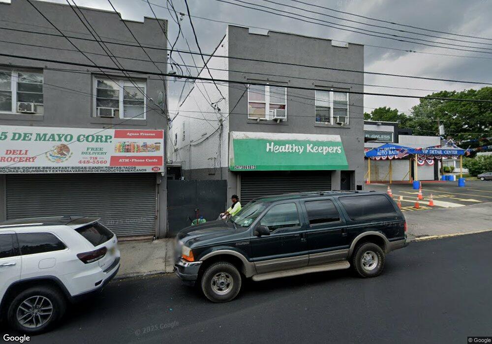
390 Port Richmond Ave Staten Island, NY 10302
Port Richmond Neighborhood
--
Bed
--
Bath
5,000
Sq Ft
2,483
Sq Ft Lot
About This Home
This home is located at 390 Port Richmond Ave, Staten Island, NY 10302. 390 Port Richmond Ave is a home located in Richmond County with nearby schools including P.S. 22 Graniteville, I.S. 51 Edwin Markham, and Port Richmond High School.
Ownership History
Date
Name
Owned For
Owner Type
Purchase Details
Closed on
Dec 12, 2002
Sold by
Desalvo Patricia Lynn and Dantonio Joseph A
Bought by
Mdr Holding Corp
Home Financials for this Owner
Home Financials are based on the most recent Mortgage that was taken out on this home.
Original Mortgage
$300,000
Interest Rate
12%
Mortgage Type
Commercial
Purchase Details
Closed on
May 9, 1997
Sold by
Carlo Marie
Bought by
Desalvo Patricia Lynn and Dantonio Joseph A
Create a Home Valuation Report for This Property
The Home Valuation Report is an in-depth analysis detailing your home's value as well as a comparison with similar homes in the area
Home Values in the Area
Average Home Value in this Area
Purchase History
| Date | Buyer | Sale Price | Title Company |
|---|---|---|---|
| Mdr Holding Corp | $300,000 | Fidelity Natl Title Ins Co N | |
| Desalvo Patricia Lynn | $275,000 | -- |
Source: Public Records
Mortgage History
| Date | Status | Borrower | Loan Amount |
|---|---|---|---|
| Closed | Mdr Holding Corp | $300,000 |
Source: Public Records
Tax History Compared to Growth
Tax History
| Year | Tax Paid | Tax Assessment Tax Assessment Total Assessment is a certain percentage of the fair market value that is determined by local assessors to be the total taxable value of land and additions on the property. | Land | Improvement |
|---|---|---|---|---|
| 2025 | $4,036 | $33,240 | $4,460 | $28,780 |
| 2024 | $4,036 | $28,860 | $4,846 | $24,014 |
| 2023 | $3,850 | $18,958 | $3,865 | $15,093 |
| 2022 | $3,570 | $30,780 | $6,960 | $23,820 |
| 2021 | $3,764 | $27,600 | $6,960 | $20,640 |
| 2020 | $3,770 | $26,700 | $6,960 | $19,740 |
| 2019 | $3,516 | $24,900 | $6,960 | $17,940 |
| 2018 | $3,220 | $15,798 | $5,296 | $10,502 |
| 2017 | $3,038 | $14,904 | $5,303 | $9,601 |
| 2016 | $2,979 | $14,904 | $4,954 | $9,950 |
| 2015 | $2,678 | $14,791 | $5,378 | $9,413 |
| 2014 | $2,678 | $13,954 | $6,085 | $7,869 |
Source: Public Records
Map
Nearby Homes
- 28 Clinton Place
- 231 Charles Ave
- 469 Port Richmond Ave
- 1594 Castleton Ave
- 285 Nicholas Ave
- 209 Nicholas Ave
- 98 Saint Josephs Ave
- 83 Palmer Ave
- 471 Heberton Ave
- 30 Decker Ave
- 28 Hooker Place
- 47 Montell St
- 125 Decker Ave
- 28 Lexington Ave
- 25 Lexington Ave
- 54 Riverside Dr Unit 1AA
- 111 Faber St
- 162 John St
- 70 Grove Ave
- 90 Vreeland St
- 392 Port Richmond Ave
- 394 Port Richmond Ave
- 380 Port Richmond Ave
- 415 Port Richmond Ave
- 0 Port Richmond Ave
- 80 Hatfield Place
- 83 Clinton Place
- 84 Hatfield Place
- 85 Clinton Place
- 88 Hatfield Place
- 89 Clinton Place
- 387 Port Richmond Ave
- 92 Hatfield Place
- 397 Port Richmond Ave
- 93 Clinton Place
- 94 Hatfield Place
- 84 Clinton Place
- 400 Port Richmond Ave
- 364 Port Richmond Ave
- 83 Hatfield Place