390 Shadow Hill Rd Wanship, UT 84017
Estimated Value: $2,116,000 - $3,465,332
--
Bed
--
Bath
5,655
Sq Ft
$467/Sq Ft
Est. Value
About This Home
This home is located at 390 Shadow Hill Rd, Wanship, UT 84017 and is currently estimated at $2,639,777, approximately $466 per square foot. 390 Shadow Hill Rd is a home located in Summit County with nearby schools including North Summit Middle School, North Summit Elementary School, and North Summit High School.
Ownership History
Date
Name
Owned For
Owner Type
Purchase Details
Closed on
Aug 20, 2021
Sold by
Berman Paul
Bought by
Paul And Kathy Berman Asset Protection Trust and Berman
Current Estimated Value
Purchase Details
Closed on
Aug 19, 2021
Sold by
Berman Paul
Bought by
Berman Paul R and Berman Kyle Kathryn
Purchase Details
Closed on
Jul 31, 2019
Sold by
Kodiak America Llc
Bought by
Berman Paul
Home Financials for this Owner
Home Financials are based on the most recent Mortgage that was taken out on this home.
Original Mortgage
$292,800
Interest Rate
3.8%
Mortgage Type
New Conventional
Create a Home Valuation Report for This Property
The Home Valuation Report is an in-depth analysis detailing your home's value as well as a comparison with similar homes in the area
Home Values in the Area
Average Home Value in this Area
Purchase History
| Date | Buyer | Sale Price | Title Company |
|---|---|---|---|
| Paul And Kathy Berman Asset Protection Trust | -- | None Listed On Document | |
| Berman Paul R | -- | None Available | |
| Berman Paul | -- | Intergrated Ttl Ins Svcs Llc |
Source: Public Records
Mortgage History
| Date | Status | Borrower | Loan Amount |
|---|---|---|---|
| Previous Owner | Berman Paul | $292,800 |
Source: Public Records
Tax History Compared to Growth
Tax History
| Year | Tax Paid | Tax Assessment Tax Assessment Total Assessment is a certain percentage of the fair market value that is determined by local assessors to be the total taxable value of land and additions on the property. | Land | Improvement |
|---|---|---|---|---|
| 2024 | $13,174 | $1,537,664 | $316,875 | $1,220,789 |
| 2023 | $13,174 | $2,365,235 | $439,646 | $1,925,589 |
| 2022 | $4,397 | $624,550 | $289,375 | $335,175 |
| 2021 | $3,173 | $333,328 | $331,875 | $1,453 |
| 2020 | $3,273 | $333,328 | $331,875 | $1,453 |
| 2019 | $2,727 | $333,328 | $331,875 | $1,453 |
| 2018 | $3,202 | $333,328 | $331,875 | $1,453 |
| 2017 | $2,610 | $333,328 | $331,875 | $1,453 |
| 2016 | $2,677 | $323,328 | $321,875 | $1,453 |
| 2015 | $4,799 | $553,953 | $0 | $0 |
Source: Public Records
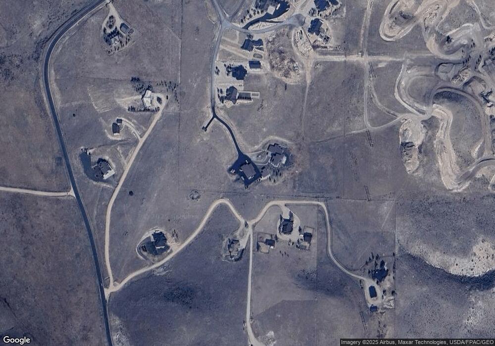
Map
Nearby Homes
- 30031 Old Lincoln Hwy
- 29145 Old Lincoln Hwy Unit 157-B
- 29151 Old Lincoln Hwy Unit 163-A
- 29151 Old Lincoln Hwy
- 29145 Old Lincoln Hwy
- 29706 Old Lincoln Hwy
- 353 Green Hill Ln Unit 1
- 1255 W Hoytsville Rd
- 1167 Trail Ridge Dr
- 1167 Trail Ridge Dr Unit 8
- 2484 Deer Crest Dr
- 2484 Deer Crest Dr Unit 29
- Hampton Traditional Plan at Countryside
- 2330 Bobcat Ln
- 2330 Bobcat Ln Unit 23
- 2887 Cottonwood Dr
- 1751 N Ridge Rd
- 1800 Bridge Hollow Dr
- 3100 Spring Hill
- 275 Creamery Ln Unit 16
- 1805 S West Hoytsville Rd
- 1805 S West Hoytsville Rd
- 412 Shadow Hill Rd
- 412 Shadow Hill Rd Unit 6
- 402 Shadow Hill Rd Unit 7
- 402 Shadow Hill Rd
- 409 Shadow Hill Rd
- 409 Shadow Hill Rd Unit 2
- 398 Shadow Hill Rd
- 1809 S West Hoytsville Rd
- 1809 S West Hoytsville Rd
- 394 Shadow Hill Rd Unit 9
- 394 Shadow Hill Rd
- 413 Shadow Hill Rd
- 413 Shadow Hill Rd Unit 3
- 1816 Fox Run
- 1745 S W Hoystville Rd
- 1816 Fox Run Rd
- 1816 Fox Run Rd
- 1816 Fox Run Rd