3910 Amy Ln Port Huron, MI 48060
Estimated Value: $888,445
--
Bed
--
Bath
8,140
Sq Ft
$109/Sq Ft
Est. Value
About This Home
This home is located at 3910 Amy Ln, Port Huron, MI 48060 and is currently estimated at $888,445, approximately $109 per square foot. 3910 Amy Ln is a home located in St. Clair County with nearby schools including Michigamme Elementary School, Central Middle School, and Port Huron High School.
Ownership History
Date
Name
Owned For
Owner Type
Purchase Details
Closed on
Oct 10, 2016
Sold by
Marlee Enterprises Llc
Bought by
Amy Lane Properties Llc
Current Estimated Value
Purchase Details
Closed on
Sep 30, 2016
Sold by
Amy Lane L L C
Bought by
Marlee Enterprises Llc
Purchase Details
Closed on
Jan 31, 2013
Sold by
Ravin Marilyn and Ravin Marilyn Joyce
Bought by
Amy Lane Llc
Purchase Details
Closed on
Nov 5, 2008
Sold by
Ravin Gary Allen
Bought by
Ravin Marilyn Joyce
Create a Home Valuation Report for This Property
The Home Valuation Report is an in-depth analysis detailing your home's value as well as a comparison with similar homes in the area
Home Values in the Area
Average Home Value in this Area
Purchase History
| Date | Buyer | Sale Price | Title Company |
|---|---|---|---|
| Amy Lane Properties Llc | -- | None Available | |
| Marlee Enterprises Llc | $395,850 | Huron Title | |
| Amy Lane Llc | -- | None Available | |
| Ravin Marilyn Joyce | -- | None Available |
Source: Public Records
Tax History Compared to Growth
Tax History
| Year | Tax Paid | Tax Assessment Tax Assessment Total Assessment is a certain percentage of the fair market value that is determined by local assessors to be the total taxable value of land and additions on the property. | Land | Improvement |
|---|---|---|---|---|
| 2025 | $13,999 | $457,300 | $0 | $0 |
| 2024 | $9,617 | $376,900 | $0 | $0 |
| 2023 | $9,015 | $357,100 | $0 | $0 |
| 2022 | $12,597 | $290,100 | $0 | $0 |
| 2021 | $11,746 | $253,300 | $0 | $0 |
| 2020 | $11,746 | $268,100 | $15,200 | $252,900 |
| 2019 | $11,484 | $212,900 | $0 | $0 |
| 2018 | $11,215 | $212,900 | $0 | $0 |
| 2017 | $11,004 | $182,800 | $0 | $0 |
| 2016 | $5,639 | $182,800 | $0 | $0 |
| 2015 | -- | $165,300 | $41,200 | $124,100 |
| 2014 | -- | $155,400 | $41,200 | $114,200 |
| 2013 | -- | $160,000 | $0 | $0 |
Source: Public Records
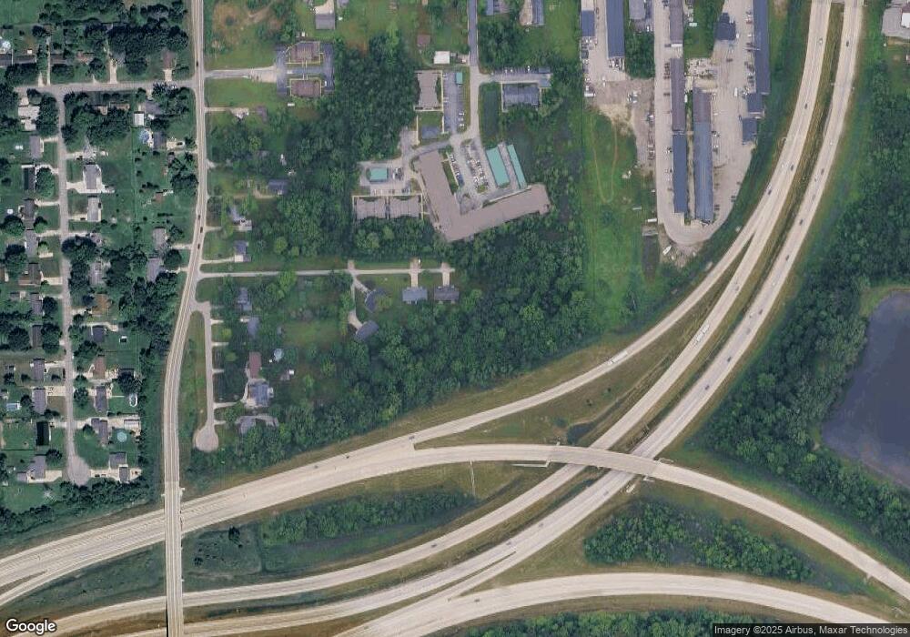
Map
Nearby Homes
- 2650 Alger Rd
- 0 Wall Rd Unit 50185999
- 2566 Lewis Dr
- 3255 Harrington Rd
- 4380 Lapeer Rd
- 2863 Beach Rd
- 2636 Locust St
- 0000 Range Rd
- 2940 Westland Dr
- 0000 W Water St
- 0000 Henry St
- 2045 Yeager St
- VACANT Howard St
- 3335 W Water St
- 0000 Manuel St
- 4595 Griswold Rd
- 00 Campau Ave
- 1709 24th St
- 1403 22nd St
- 1502 23rd St
- 0 Amy Ln
- 2376 Michigan Rd
- 2350 Michigan Rd
- 2394 Michigan Rd
- 2410 Michigan Rd
- 2342 Michigan Rd
- 2430 Michigan Rd
- 2420 Michigan Rd
- 2409 Michigan Rd
- 2415 Michigan Rd
- 2380 Randolph St
- 2390 Randolph St
- 2423 Michigan Rd
- 2448 Michigan Rd
- 2408 Randolph St
- 2360 Randolph St
- 2340 Randolph St
- 2320 Randolph St
- 2330 Randolph St
- 2441 Michigan Rd Unit Bldg-Unit