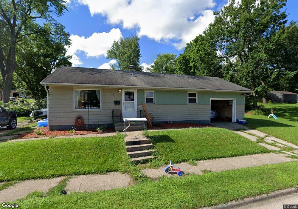
3911 Louisiana Rd Rockford, IL 61108
Five Points NeighborhoodEstimated Value: $96,000 - $121,000
3
Beds
1
Bath
864
Sq Ft
$128/Sq Ft
Est. Value
About This Home
This home is located at 3911 Louisiana Rd, Rockford, IL 61108 and is currently estimated at $110,887, approximately $128 per square foot. 3911 Louisiana Rd is a home located in Winnebago County with nearby schools including Rolling Green Elementary School, Rockford East High School, and Alpine Academy.
Ownership History
Date
Name
Owned For
Owner Type
Purchase Details
Closed on
Oct 20, 2023
Sold by
Weber Amy M
Bought by
Owen Sean
Current Estimated Value
Home Financials for this Owner
Home Financials are based on the most recent Mortgage that was taken out on this home.
Original Mortgage
$77,569
Outstanding Balance
$75,934
Interest Rate
6.75%
Mortgage Type
FHA
Estimated Equity
$34,953
Purchase Details
Closed on
Dec 30, 2005
Bought by
Weber Amy
Create a Home Valuation Report for This Property
The Home Valuation Report is an in-depth analysis detailing your home's value as well as a comparison with similar homes in the area
Home Values in the Area
Average Home Value in this Area
Purchase History
| Date | Buyer | Sale Price | Title Company |
|---|---|---|---|
| Owen Sean | $79,000 | None Listed On Document | |
| Weber Amy | $92,900 | -- |
Source: Public Records
Mortgage History
| Date | Status | Borrower | Loan Amount |
|---|---|---|---|
| Open | Owen Sean | $77,569 |
Source: Public Records
Tax History Compared to Growth
Tax History
| Year | Tax Paid | Tax Assessment Tax Assessment Total Assessment is a certain percentage of the fair market value that is determined by local assessors to be the total taxable value of land and additions on the property. | Land | Improvement |
|---|---|---|---|---|
| 2024 | $1,789 | $24,876 | $3,682 | $21,194 |
| 2023 | $2,278 | $21,935 | $3,247 | $18,688 |
| 2022 | $2,240 | $19,606 | $2,902 | $16,704 |
| 2021 | $2,203 | $17,977 | $2,661 | $15,316 |
| 2020 | $2,185 | $16,995 | $2,516 | $14,479 |
| 2019 | $2,170 | $16,198 | $2,398 | $13,800 |
| 2018 | $2,038 | $15,266 | $2,261 | $13,005 |
| 2017 | $2,168 | $14,610 | $2,164 | $12,446 |
| 2016 | $2,459 | $16,275 | $2,123 | $14,152 |
| 2015 | $1,898 | $18,407 | $2,123 | $16,284 |
| 2014 | $2,546 | $19,546 | $2,651 | $16,895 |
Source: Public Records
Map
Nearby Homes
- 1721 Nixon Ct
- 4108 Tonawanda Ave
- 1111 Kingsway Ave
- 1112 Blenheim Dr
- 3903 Charles St
- 4016 Dempster Ave
- 4216 Dakota Ln
- 911 Kenmore Rd
- 3713 Connecticut Dr
- 69XX Charles St
- 3205 Minnesota Dr
- 3243 Carolina Ave
- 3239 Carolina Ave
- 2112 E Gate Pkwy
- 3520 Thelma St
- 3928 Seward Ave
- 2335 Cornell Dr
- 4805 Waukegan Dr
- 1210 Woodridge Dr
- 1807 Raismore Rd
- 1811 Raismore Rd
- 1722 Nixon Ct
- 1804 Ridgeland Rd
- 3908 Louisiana Rd
- 1804 Raismore Rd
- 1812 Ridgeland Rd
- 1819 Raismore Rd
- 3814 Louisiana Rd
- 1816 Ridgeland Rd
- 1806 Raismore Rd
- 3912 Louisiana Rd Unit 8
- 3912 Louisiana Rd Unit 6
- 3912 Louisiana Rd
- 1716 Nixon Ct
- 1820 Ridgeland Rd
- 3810 Louisiana Rd
- 1823 Raismore Rd
- 1816 Raismore Rd
- 1715 Nixon Ct