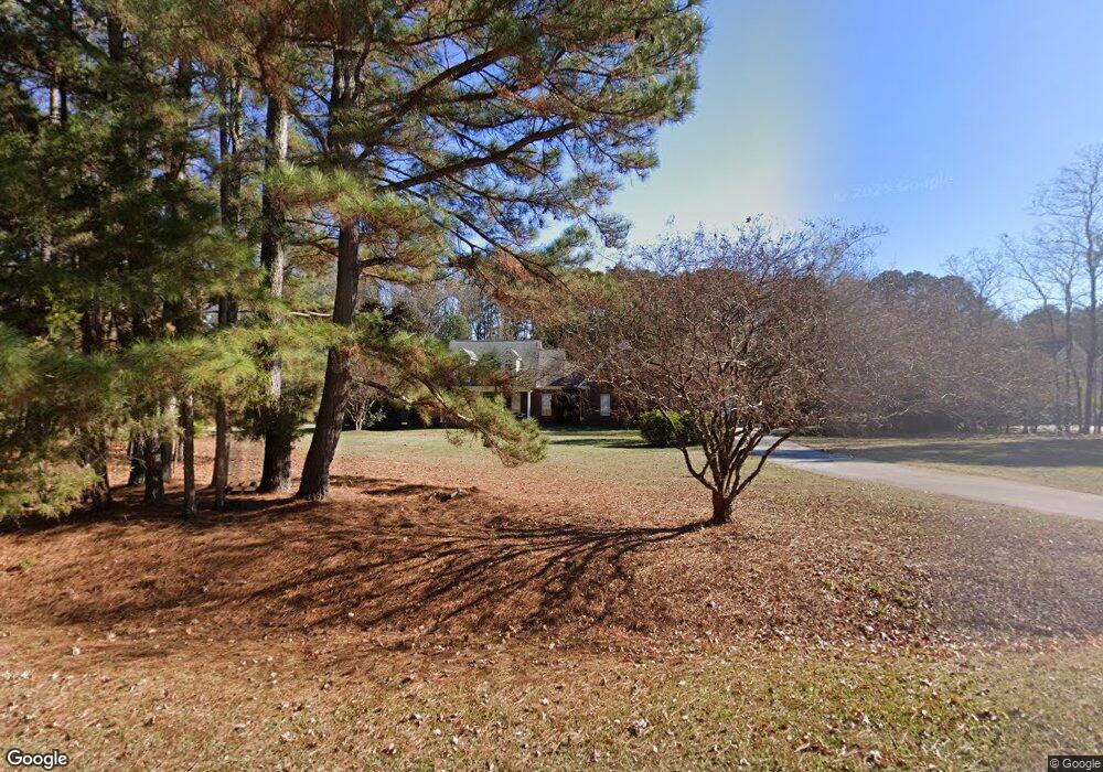
3912 Britt Dawn Ln Zebulon, NC 27597
Estimated Value: $557,427 - $594,000
--
Bed
3
Baths
2,714
Sq Ft
$213/Sq Ft
Est. Value
About This Home
This home is located at 3912 Britt Dawn Ln, Zebulon, NC 27597 and is currently estimated at $579,107, approximately $213 per square foot. 3912 Britt Dawn Ln is a home located in Wake County with nearby schools including Rolesville Elementary School, Rolesville Middle School, and Rolesville High School.
Ownership History
Date
Name
Owned For
Owner Type
Purchase Details
Closed on
Jul 17, 2017
Sold by
Wolfe Stephen C and Wolfe Charity Lynn
Bought by
Wilimington Saving Fund Society and Christina Trust
Current Estimated Value
Purchase Details
Closed on
Apr 4, 2005
Sold by
Jaback Inc
Bought by
Wolfe Stephen C and Wolfe Charity Lynn
Home Financials for this Owner
Home Financials are based on the most recent Mortgage that was taken out on this home.
Original Mortgage
$38,950
Interest Rate
5.62%
Mortgage Type
Construction
Create a Home Valuation Report for This Property
The Home Valuation Report is an in-depth analysis detailing your home's value as well as a comparison with similar homes in the area
Home Values in the Area
Average Home Value in this Area
Purchase History
| Date | Buyer | Sale Price | Title Company |
|---|---|---|---|
| Wilimington Saving Fund Society | $350,000 | None Available | |
| Wolfe Stephen C | $55,000 | -- |
Source: Public Records
Mortgage History
| Date | Status | Borrower | Loan Amount |
|---|---|---|---|
| Previous Owner | Wolfe Stephen C | $38,950 |
Source: Public Records
Tax History Compared to Growth
Tax History
| Year | Tax Paid | Tax Assessment Tax Assessment Total Assessment is a certain percentage of the fair market value that is determined by local assessors to be the total taxable value of land and additions on the property. | Land | Improvement |
|---|---|---|---|---|
| 2025 | $3,517 | $546,773 | $78,600 | $468,173 |
| 2024 | $3,415 | $546,773 | $78,600 | $468,173 |
| 2023 | $3,300 | $420,666 | $51,280 | $369,386 |
| 2022 | $3,058 | $420,666 | $51,280 | $369,386 |
| 2021 | $2,976 | $420,666 | $51,280 | $369,386 |
| 2020 | $2,927 | $420,666 | $51,280 | $369,386 |
| 2019 | $2,838 | $345,097 | $64,000 | $281,097 |
| 2018 | $2,610 | $345,097 | $64,000 | $281,097 |
| 2017 | $2,474 | $345,097 | $64,000 | $281,097 |
| 2016 | $2,424 | $345,097 | $64,000 | $281,097 |
| 2015 | $2,492 | $355,928 | $64,000 | $291,928 |
| 2014 | -- | $355,928 | $64,000 | $291,928 |
Source: Public Records
Map
Nearby Homes
- 7612 Mitchell Mill Rd
- 7616 Mitchell Mill Rd
- 0 Jones Cousins Way
- 3541 Holden Acres Dr
- 7117 Brodie Alston Ln
- 5833 Mitchell Mill Rd
- 0 Hodge Rd
- Norman Plan at Kalas Falls
- Jordan Plan at Kalas Falls
- Hampshire Plan at Kalas Falls
- Hartwell Plan at Kalas Falls
- Summit Plan at Kalas Falls
- Fleetwood Plan at Kalas Falls
- Wylie Plan at Kalas Falls
- 3612 Bailey Meadows Dr
- 4612 N Fork Dr
- 4621 N Fork Dr
- 3216& 3208 Quarry Rd
- 3829 Standing Pine Ln
- 3828 Standing Pine Ln
- 3908 Britt Dawn Ln
- 3924 Britt Dawn Ln
- 3924 Britt Dawn Ln Unit 16
- 3921 Britt Dawn Ln
- 3913 Britt Dawn Ln
- 4037 Jaback Dr
- 3909 Britt Dawn Ln
- 4041 Jaback Dr
- 3905 Britt Dawn Ln
- 4045 Jaback Dr
- 3925 Britt Dawn Ln
- 0 Jaback Dr
- 4017 Jaback Dr
- 3929 Britt Dawn Ln
- 4028 Jaback Dr
- 4040 Jaback Dr
- 4044 Jaback Dr
- 4036 Jaback Dr
- 4032 Jaback Dr
- 4000 Jaback Dr