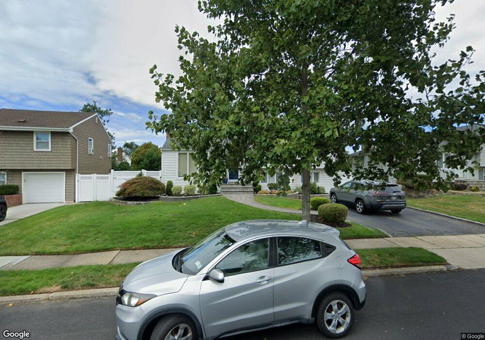
3921 Eve Dr Seaford, NY 11783
Estimated Value: $750,000 - $777,868
3
Beds
2
Baths
1,103
Sq Ft
$693/Sq Ft
Est. Value
About This Home
This home is located at 3921 Eve Dr, Seaford, NY 11783 and is currently estimated at $763,934, approximately $692 per square foot. 3921 Eve Dr is a home located in Nassau County with nearby schools including East Broadway School, Jonas E. Salk Middle School, and Gen. Douglas MacArthur Senior High School.
Ownership History
Date
Name
Owned For
Owner Type
Purchase Details
Closed on
Jun 7, 2013
Sold by
Legarreta Frank and Legarreta Liliana
Bought by
Odonnell Sean and Cannizzaro Nicole
Current Estimated Value
Home Financials for this Owner
Home Financials are based on the most recent Mortgage that was taken out on this home.
Original Mortgage
$346,500
Outstanding Balance
$246,040
Interest Rate
3.45%
Estimated Equity
$517,894
Purchase Details
Closed on
Oct 2, 2001
Sold by
Tarantino Ralph F
Bought by
Legarreta Frank
Create a Home Valuation Report for This Property
The Home Valuation Report is an in-depth analysis detailing your home's value as well as a comparison with similar homes in the area
Home Values in the Area
Average Home Value in this Area
Purchase History
| Date | Buyer | Sale Price | Title Company |
|---|---|---|---|
| Odonnell Sean | $385,000 | -- | |
| Legarreta Frank | $360,000 | Jeffrey Schwartz |
Source: Public Records
Mortgage History
| Date | Status | Borrower | Loan Amount |
|---|---|---|---|
| Open | Odonnell Sean | $346,500 |
Source: Public Records
Tax History Compared to Growth
Tax History
| Year | Tax Paid | Tax Assessment Tax Assessment Total Assessment is a certain percentage of the fair market value that is determined by local assessors to be the total taxable value of land and additions on the property. | Land | Improvement |
|---|---|---|---|---|
| 2025 | $13,503 | $428 | $219 | $209 |
| 2024 | $3,250 | $464 | $237 | $227 |
| 2023 | $12,729 | $458 | $234 | $224 |
| 2022 | $12,729 | $464 | $237 | $227 |
| 2021 | $16,980 | $474 | $233 | $241 |
| 2020 | $12,610 | $605 | $572 | $33 |
| 2019 | $12,343 | $648 | $575 | $73 |
| 2018 | $10,894 | $691 | $0 | $0 |
| 2017 | $8,043 | $734 | $502 | $232 |
| 2016 | $11,247 | $884 | $613 | $271 |
| 2015 | $3,602 | $884 | $613 | $271 |
| 2014 | $3,602 | $884 | $613 | $271 |
| 2013 | $3,378 | $884 | $613 | $271 |
Source: Public Records
Map
Nearby Homes
- 3975 Anne Dr
- 1144 Greenway Ct
- 3914 Jerusalem Ave
- 4057 Eve Dr
- 3773 Arthur Ave W
- 4038 Meadow Ln
- 4030 Jerusalem Ave Unit 1B
- 1427 Washington Ave
- 3771 Jerusalem Ave
- 1441 Roth Rd
- 598 N Suffolk Ave
- 3737 Maxwell Dr
- 3970 Worthmor Dr
- 3783 Charlotte Ct
- 3694 Maxwell Dr
- 4090 Sherrey Ct
- 558 N Hawthorne St
- 7 Crocus Dr
- 3592 Southview Ave
- 22 Commonwealth Ave