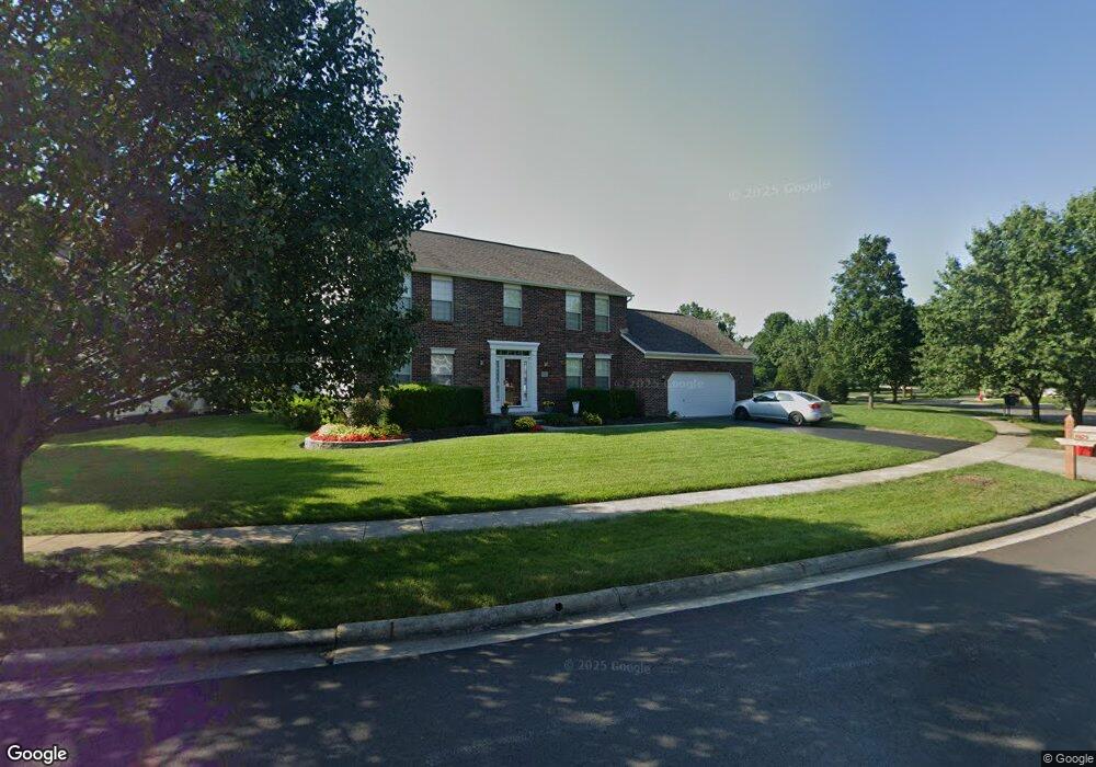
3925 Delwood Dr Powell, OH 43065
Liberty Township NeighborhoodEstimated Value: $522,000 - $548,000
3
Beds
3
Baths
2,318
Sq Ft
$230/Sq Ft
Est. Value
About This Home
This home is located at 3925 Delwood Dr, Powell, OH 43065 and is currently estimated at $533,946, approximately $230 per square foot. 3925 Delwood Dr is a home located in Delaware County with nearby schools including Tyler Run Elementary School, Olentangy Liberty Middle School, and Olentangy Liberty High School.
Ownership History
Date
Name
Owned For
Owner Type
Purchase Details
Closed on
Dec 6, 2001
Sold by
Virginia Homes Ltd
Bought by
Sparks Craig M and Sparks Janice K
Current Estimated Value
Home Financials for this Owner
Home Financials are based on the most recent Mortgage that was taken out on this home.
Original Mortgage
$210,000
Outstanding Balance
$82,728
Interest Rate
6.68%
Mortgage Type
New Conventional
Estimated Equity
$451,218
Create a Home Valuation Report for This Property
The Home Valuation Report is an in-depth analysis detailing your home's value as well as a comparison with similar homes in the area
Home Values in the Area
Average Home Value in this Area
Purchase History
| Date | Buyer | Sale Price | Title Company |
|---|---|---|---|
| Sparks Craig M | $263,610 | -- |
Source: Public Records
Mortgage History
| Date | Status | Borrower | Loan Amount |
|---|---|---|---|
| Open | Sparks Craig M | $210,000 |
Source: Public Records
Tax History Compared to Growth
Tax History
| Year | Tax Paid | Tax Assessment Tax Assessment Total Assessment is a certain percentage of the fair market value that is determined by local assessors to be the total taxable value of land and additions on the property. | Land | Improvement |
|---|---|---|---|---|
| 2024 | $7,818 | $146,440 | $34,370 | $112,070 |
| 2023 | $7,848 | $146,440 | $34,370 | $112,070 |
| 2022 | $7,476 | $110,500 | $23,910 | $86,590 |
| 2021 | $7,521 | $110,500 | $23,910 | $86,590 |
| 2020 | $7,556 | $110,500 | $23,910 | $86,590 |
| 2019 | $6,613 | $100,530 | $23,910 | $76,620 |
| 2018 | $6,643 | $100,530 | $23,910 | $76,620 |
| 2017 | $6,217 | $92,620 | $19,640 | $72,980 |
| 2016 | $6,493 | $92,620 | $19,640 | $72,980 |
| 2015 | $5,884 | $92,620 | $19,640 | $72,980 |
| 2014 | $5,842 | $92,620 | $19,640 | $72,980 |
| 2013 | $5,589 | $86,600 | $19,640 | $66,960 |
Source: Public Records
Map
Nearby Homes
- 524 Commons Dr Unit 524
- 261 Andover Dr
- 274 Stamford Dr
- 4933 Emerald Lakes Blvd Unit 4903
- 91 Tiller Dr
- 2672 Sawmill Reserve Dr Unit 2672
- 255 Winter Hill Place
- 10053 Juliana Cir Unit 10053
- 3910 Summit View Rd
- 55 Timber Oak Ct
- 10010 Beckford Ct
- 87 Murphys Oval Unit N87
- 2961 Lexington Dr
- 7909 Melrue Ct
- 11 Murphys View Place
- 1937 Liberty St
- 2020 Liberty St
- 2168 Summit Row Blvd
- 7889 Avaleen Cir S Unit 16
- 120 S Liberty St
- 3891 Delwood Dr
- 3914 Wedgewood Place Dr
- 3928 Wedgewood Place Dr
- 3900 Wedgewood Place Dr
- 3877 Delwood Dr
- 3910 Delwood Dr
- 3894 Delwood Dr
- 3888 Wedgewood Place Dr
- 3918 Delwood Dr
- 3882 Delwood Dr
- 3865 Delwood Dr
- 3942 Delwood Dr
- 3948 Delwood Dr
- 3868 Delwood Dr
- 3874 Wedgewood Place Dr
- 3954 Delwood Dr
- 3936 Delwood Dr
- 3936 Delwood Dr Unit 2143
- 3930 Delwood Dr
- 3925 Wedgewood Place Dr