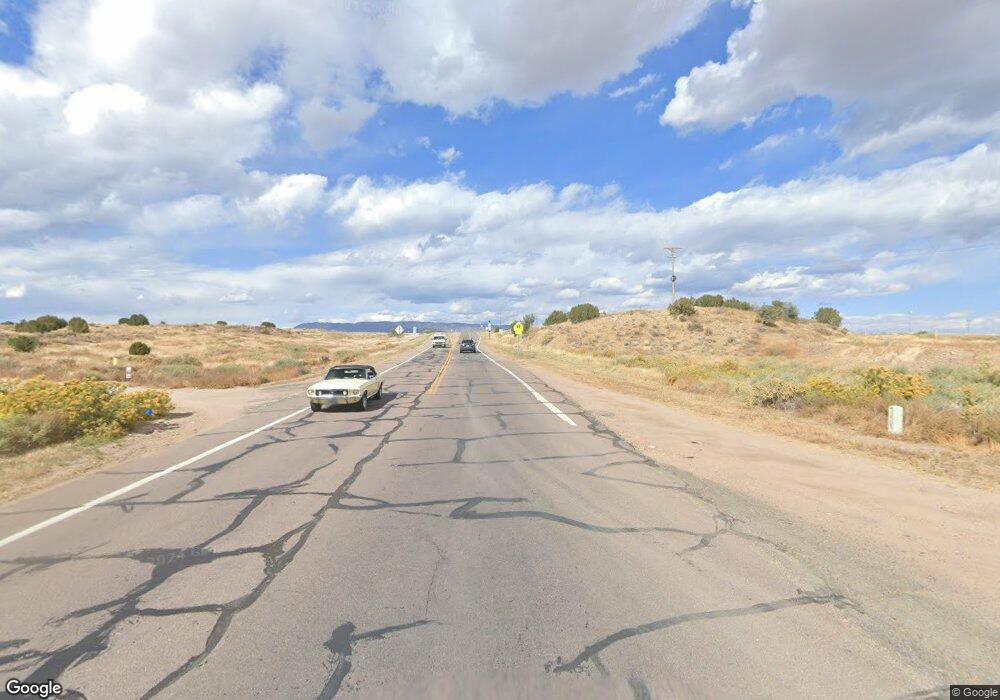
3939 State Highway 67 Unit FRE Penrose, CO 81240
Estimated Value: $442,000 - $563,116
2
Beds
1
Bath
1,536
Sq Ft
$330/Sq Ft
Est. Value
About This Home
This home is located at 3939 State Highway 67 Unit FRE, Penrose, CO 81240 and is currently estimated at $507,279, approximately $330 per square foot. 3939 State Highway 67 Unit FRE is a home located in Fremont County with nearby schools including Harrison School and Canon City High School.
Ownership History
Date
Name
Owned For
Owner Type
Purchase Details
Closed on
Jan 31, 2005
Sold by
Claar Nard
Bought by
Palermo Robert A
Current Estimated Value
Home Financials for this Owner
Home Financials are based on the most recent Mortgage that was taken out on this home.
Original Mortgage
$152,000
Outstanding Balance
$81,634
Interest Rate
6.62%
Mortgage Type
Adjustable Rate Mortgage/ARM
Estimated Equity
$425,645
Create a Home Valuation Report for This Property
The Home Valuation Report is an in-depth analysis detailing your home's value as well as a comparison with similar homes in the area
Home Values in the Area
Average Home Value in this Area
Purchase History
| Date | Buyer | Sale Price | Title Company |
|---|---|---|---|
| Palermo Robert A | $190,000 | None Available |
Source: Public Records
Mortgage History
| Date | Status | Borrower | Loan Amount |
|---|---|---|---|
| Open | Palermo Robert A | $152,000 |
Source: Public Records
Tax History Compared to Growth
Tax History
| Year | Tax Paid | Tax Assessment Tax Assessment Total Assessment is a certain percentage of the fair market value that is determined by local assessors to be the total taxable value of land and additions on the property. | Land | Improvement |
|---|---|---|---|---|
| 2024 | $1,735 | $28,172 | $0 | $0 |
| 2023 | $1,735 | $24,486 | $0 | $0 |
| 2022 | $1,623 | $22,553 | $0 | $0 |
| 2021 | $1,619 | $23,201 | $0 | $0 |
| 2020 | $1,239 | $19,797 | $0 | $0 |
| 2019 | $1,239 | $19,797 | $0 | $0 |
| 2018 | $1,010 | $15,655 | $0 | $0 |
| 2017 | $837 | $15,655 | $0 | $0 |
| 2016 | $921 | $17,240 | $0 | $0 |
| 2015 | $918 | $17,240 | $0 | $0 |
| 2012 | $893 | $16,362 | $4,664 | $11,698 |
Source: Public Records
Map
Nearby Homes
- TBD County Road 67
- 0 Upper Beaver Creek Rd
- 771 Chris Ct
- 59 Hardrock Ct
- 4200 County Road 123
- 5101 County Road 123
- 828 Pecos Point Unit 58
- 1284 Canon Ridge Trail
- 3559 Saddle Dr
- 3559 Saddle Dr Unit 47
- 3549 Saddle Dr
- 3547 Saddle Dr
- 817 Hondo Ct Unit Lot 33
- 3562 Saddle Dr Unit 82
- 3545 Saddle Dr Unit 40
- 3542 Saddle Dr
- 800 Pecos Point Unit 65
- 3543 Saddle Dr Unit 39
- 3535 Telegraph Trail Unit 38
- 3572 Telegraph Trail Unit 8
