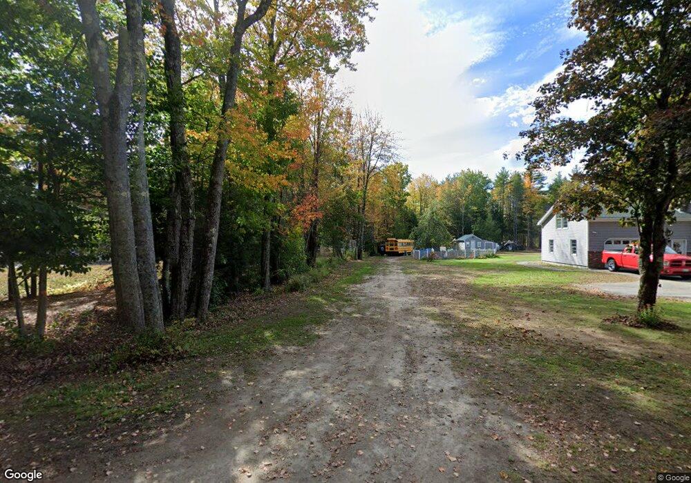
394 Flag Pond Rd Saco, ME 04072
North Saco NeighborhoodEstimated Value: $376,000 - $430,000
2
Beds
1
Bath
870
Sq Ft
$452/Sq Ft
Est. Value
About This Home
This home is located at 394 Flag Pond Rd, Saco, ME 04072 and is currently estimated at $393,246, approximately $452 per square foot. 394 Flag Pond Rd is a home located in York County with nearby schools including C K Burns School and Saco Middle School.
Create a Home Valuation Report for This Property
The Home Valuation Report is an in-depth analysis detailing your home's value as well as a comparison with similar homes in the area
Home Values in the Area
Average Home Value in this Area
Tax History Compared to Growth
Tax History
| Year | Tax Paid | Tax Assessment Tax Assessment Total Assessment is a certain percentage of the fair market value that is determined by local assessors to be the total taxable value of land and additions on the property. | Land | Improvement |
|---|---|---|---|---|
| 2024 | $3,747 | $266,700 | $139,700 | $127,000 |
| 2023 | $3,934 | $266,700 | $139,700 | $127,000 |
| 2022 | $3,600 | $196,400 | $106,200 | $90,200 |
| 2021 | $3,446 | $182,500 | $96,000 | $86,500 |
| 2020 | $3,224 | $163,900 | $84,700 | $79,200 |
| 2019 | $3,176 | $163,900 | $84,700 | $79,200 |
| 2018 | $3,025 | $156,100 | $76,900 | $79,200 |
| 2017 | $2,795 | $144,200 | $70,600 | $73,600 |
| 2016 | $2,563 | $132,000 | $54,700 | $77,300 |
| 2015 | $2,520 | $131,100 | $54,700 | $76,400 |
| 2014 | $2,465 | $132,400 | $56,000 | $76,400 |
| 2013 | $2,460 | $132,400 | $56,000 | $76,400 |
Source: Public Records
Map
Nearby Homes
- 9 Jada Dr
- 436 Flag Pond Rd
- 5 Marguerite Rd
- 110/009 Mast Hill Rd
- Lot 1 & 2 Memory Ln
- 3 Nonesuch Rd
- 74 Hearn Rd
- 295 Buxton Rd
- Lot 2 TBD Bobby Ave
- 75 Ash Swamp Rd
- lot 3 June Dr
- lot 2 June Dr
- 130 Mckenney Rd
- 4 Spool St Unit 101
- 91 C Broadturn Rd
- 96C Broadturn Rd
- 159 Stewart Dr
- 91 B Broadturn Rd
- 155 Stewart Dr
- 153 Stewart Dr