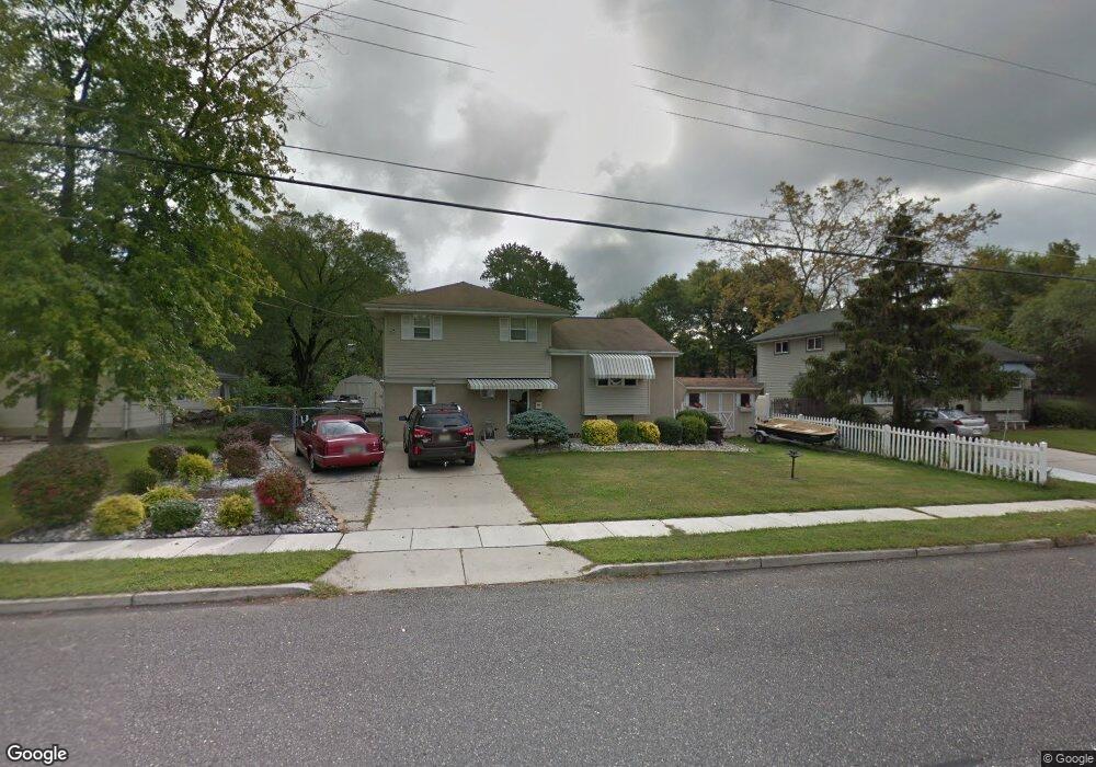
394 Lansing Dr Mantua, NJ 08051
Mantua Township NeighborhoodEstimated Value: $328,000 - $377,000
--
Bed
--
Bath
1,525
Sq Ft
$230/Sq Ft
Est. Value
About This Home
This home is located at 394 Lansing Dr, Mantua, NJ 08051 and is currently estimated at $350,759, approximately $230 per square foot. 394 Lansing Dr is a home located in Gloucester County with nearby schools including Centre City School, Clearview Regional Middle School, and Clearview Regional High School.
Ownership History
Date
Name
Owned For
Owner Type
Purchase Details
Closed on
Oct 15, 2003
Sold by
Marro Michael A and Marro Connie N
Bought by
Sponheimer Joseph and Sponheimer Gina
Current Estimated Value
Home Financials for this Owner
Home Financials are based on the most recent Mortgage that was taken out on this home.
Original Mortgage
$126,700
Outstanding Balance
$57,498
Interest Rate
5.81%
Mortgage Type
Purchase Money Mortgage
Estimated Equity
$293,261
Create a Home Valuation Report for This Property
The Home Valuation Report is an in-depth analysis detailing your home's value as well as a comparison with similar homes in the area
Home Values in the Area
Average Home Value in this Area
Purchase History
| Date | Buyer | Sale Price | Title Company |
|---|---|---|---|
| Sponheimer Joseph | $169,000 | Surety Title Corporation |
Source: Public Records
Mortgage History
| Date | Status | Borrower | Loan Amount |
|---|---|---|---|
| Open | Sponheimer Joseph | $126,700 |
Source: Public Records
Tax History Compared to Growth
Tax History
| Year | Tax Paid | Tax Assessment Tax Assessment Total Assessment is a certain percentage of the fair market value that is determined by local assessors to be the total taxable value of land and additions on the property. | Land | Improvement |
|---|---|---|---|---|
| 2025 | $7,213 | $280,100 | $85,500 | $194,600 |
| 2024 | $7,137 | $280,100 | $85,500 | $194,600 |
| 2023 | $7,137 | $280,100 | $85,500 | $194,600 |
| 2022 | $6,433 | $183,900 | $57,900 | $126,000 |
| 2021 | $6,056 | $183,900 | $57,900 | $126,000 |
| 2020 | $6,429 | $183,900 | $57,900 | $126,000 |
| 2019 | $6,321 | $183,900 | $57,900 | $126,000 |
| 2018 | $6,231 | $183,900 | $57,900 | $126,000 |
| 2017 | $6,137 | $183,900 | $57,900 | $126,000 |
| 2016 | $6,067 | $183,900 | $57,900 | $126,000 |
| 2015 | $5,918 | $183,900 | $57,900 | $126,000 |
| 2014 | $5,719 | $183,900 | $57,900 | $126,000 |
Source: Public Records
Map
Nearby Homes
- 333 Jackson Rd
- 290 Montgomery Dr
- 284 Columbus Dr
- 17 Oakton Dr
- 41 Woodbrook Dr Unit C041
- 380 Heritage Rd
- 26 Woodstream Ct
- 580 Mount Royal Rd
- 608 Main St
- 590 Bridgeton Pike
- 119 Monroe Ave
- 485 Harrison Ave
- 36 Bluebird Rd
- 204 W Landing Rd
- 680 Main St
- 325 Bridgeton Pike
- 22 Hart Ln
- 0 Bridgeton Pike Unit NJGL2059468
- L13 N Bridgeton Pike
- 261 Tony Cir
- 396 Lansing Dr
- 392 Lansing Dr
- 390 Lansing Dr
- 392 Montgomery Dr
- 393 Jackson Rd
- 391 Jackson Rd
- 389 Jackson Rd
- 397 Lansing Dr
- 394 Montgomery Dr
- 395 Lansing Dr
- 399 Lansing Dr
- 388 Lansing Dr
- 393 Lansing Dr
- 386 Montgomery Dr
- 387 Jackson Rd
- 391 Lansing Dr
- 386 Lansing Dr
- 385 Jackson Rd
- 380 Montgomery Dr
- 395 Montgomery Dr