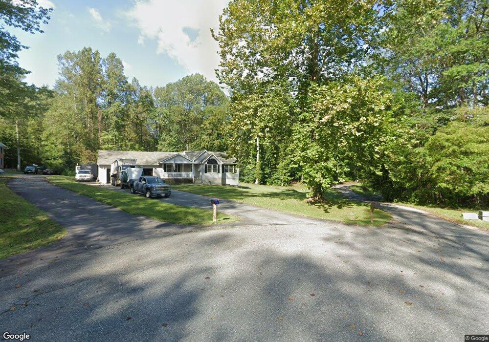
39435 Summitt Hill Dr Mechanicsville, MD 20659
Estimated Value: $587,000 - $652,162
--
Bed
2
Baths
2,396
Sq Ft
$257/Sq Ft
Est. Value
About This Home
This home is located at 39435 Summitt Hill Dr, Mechanicsville, MD 20659 and is currently estimated at $615,291, approximately $256 per square foot. 39435 Summitt Hill Dr is a home located in St. Mary's County with nearby schools including White Marsh Elementary School, Margaret Brent Middle School, and Chopticon High School.
Ownership History
Date
Name
Owned For
Owner Type
Purchase Details
Closed on
Oct 7, 2002
Sold by
Dunbar Donny L
Bought by
Murphy Paul B and Murphy Kelly A
Current Estimated Value
Purchase Details
Closed on
Oct 31, 1997
Sold by
Dunbar Donny L
Bought by
Dunbar Dunbar Donny L Donny L and Dunbar Tami L
Purchase Details
Closed on
Nov 25, 1996
Sold by
Summitt Hill Inc
Bought by
Dunbar Donny L
Create a Home Valuation Report for This Property
The Home Valuation Report is an in-depth analysis detailing your home's value as well as a comparison with similar homes in the area
Home Values in the Area
Average Home Value in this Area
Purchase History
| Date | Buyer | Sale Price | Title Company |
|---|---|---|---|
| Murphy Paul B | $279,900 | -- | |
| Dunbar Dunbar Donny L Donny L | -- | -- | |
| Dunbar Donny L | $62,950 | -- |
Source: Public Records
Mortgage History
| Date | Status | Borrower | Loan Amount |
|---|---|---|---|
| Closed | Dunbar Donny L | -- |
Source: Public Records
Tax History Compared to Growth
Tax History
| Year | Tax Paid | Tax Assessment Tax Assessment Total Assessment is a certain percentage of the fair market value that is determined by local assessors to be the total taxable value of land and additions on the property. | Land | Improvement |
|---|---|---|---|---|
| 2025 | $5,706 | $528,567 | $0 | $0 |
| 2024 | $5,383 | $498,300 | $200,800 | $297,500 |
| 2023 | $5,138 | $479,867 | $0 | $0 |
| 2022 | $4,943 | $461,433 | $0 | $0 |
| 2021 | $4,747 | $443,000 | $187,500 | $255,500 |
| 2020 | $4,671 | $435,900 | $0 | $0 |
| 2019 | $4,594 | $428,800 | $0 | $0 |
| 2018 | $4,493 | $421,700 | $182,500 | $239,200 |
| 2017 | $4,452 | $419,667 | $0 | $0 |
| 2016 | $4,158 | $417,633 | $0 | $0 |
| 2015 | $4,158 | $415,600 | $0 | $0 |
| 2014 | $4,158 | $415,600 | $0 | $0 |
Source: Public Records
Map
Nearby Homes
- 39550 Mount Wolf Rd
- 30130 Huntt Rd
- 30090 Cherokee Ct
- 29057 Ann Cir
- 29954 Richard Cir
- 29844 Cheryl Ct
- 7036 Grace Landing Ct
- 17430 Koenig Place
- 7055 Colonial Ln
- 7016 Grace Landing Ct
- 29697 Dogwood Cir
- 30087 Cross Woods Dr
- 17610 Entzian Place
- 17012 Prince Frederick Rd
- 0 Scott Cir Unit MDSM2027260
- 29813 Scott Cir
- 40147 Dockser Dr
- 29885 Washington Rd
- The Lancaster Plan at Underwood
- The Oxford Plan at Underwood
- 39433 Summitt Hill Dr
- 39429 Summitt Hill Dr
- 39426 Summitt Hill Dr
- 39422 Summitt Hill Dr
- 30312 Summitt Ct
- 30318 Summitt Ct
- 39420 Summitt Hill Dr
- 30316 Summitt Ct
- 39415 Summitt Hill Dr
- 30304 Summitt Ct
- 39464 Thomas Dr
- 30276 Summitt Ct
- 39458 Thomas Dr
- 30290 Summitt Ct
- 39390 Summitt Hill Dr
- 30320 Summitt Ct
- 39431 Summitt Hill Dr
- 39498 Thomas Dr
- 39488 Thomas Dr
- 39431 Summitt Hill Dr