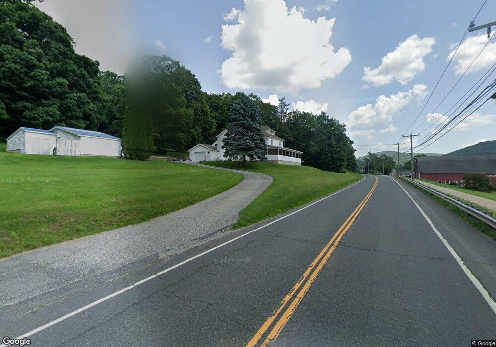
395 Norfolk Rd Unit US East Canaan, CT 06024
Estimated Value: $315,000 - $730,000
5
Beds
3
Baths
4,016
Sq Ft
$126/Sq Ft
Est. Value
About This Home
This home is located at 395 Norfolk Rd Unit US, East Canaan, CT 06024 and is currently estimated at $507,211, approximately $126 per square foot. 395 Norfolk Rd Unit US is a home located in Litchfield County with nearby schools including North Canaan Elementary School and Housatonic Valley Regional High School.
Ownership History
Date
Name
Owned For
Owner Type
Purchase Details
Closed on
Feb 6, 1998
Sold by
Roussis Peter and Roussis Cleo L
Bought by
Rousis George and Roussis Tonya L
Current Estimated Value
Home Financials for this Owner
Home Financials are based on the most recent Mortgage that was taken out on this home.
Original Mortgage
$155,850
Interest Rate
6.95%
Mortgage Type
Unknown
Create a Home Valuation Report for This Property
The Home Valuation Report is an in-depth analysis detailing your home's value as well as a comparison with similar homes in the area
Home Values in the Area
Average Home Value in this Area
Purchase History
| Date | Buyer | Sale Price | Title Company |
|---|---|---|---|
| Rousis George | $148,000 | -- |
Source: Public Records
Mortgage History
| Date | Status | Borrower | Loan Amount |
|---|---|---|---|
| Open | Rousis George | $276,760 | |
| Closed | Rousis George | $220,000 | |
| Closed | Rousis George | $155,479 | |
| Closed | Rousis George | $155,850 |
Source: Public Records
Tax History Compared to Growth
Tax History
| Year | Tax Paid | Tax Assessment Tax Assessment Total Assessment is a certain percentage of the fair market value that is determined by local assessors to be the total taxable value of land and additions on the property. | Land | Improvement |
|---|---|---|---|---|
| 2025 | $8,325 | $336,350 | $38,220 | $298,130 |
| 2024 | $8,325 | $336,350 | $38,220 | $298,130 |
| 2023 | $8,577 | $336,350 | $38,220 | $298,130 |
| 2022 | $7,057 | $227,650 | $38,030 | $189,620 |
| 2021 | $6,007 | $227,650 | $38,030 | $189,620 |
| 2020 | $6,431 | $227,650 | $38,030 | $189,620 |
| 2019 | $4,460 | $227,660 | $38,030 | $189,630 |
| 2018 | $4,551 | $227,660 | $38,030 | $189,630 |
| 2017 | $5,470 | $231,000 | $41,530 | $189,470 |
| 2016 | $6,353 | $231,000 | $41,530 | $189,470 |
| 2015 | $6,353 | $231,000 | $41,530 | $189,470 |
| 2014 | $6,353 | $231,000 | $41,530 | $189,470 |
Source: Public Records
Map
Nearby Homes
- 10 College Hill Rd
- 16 River Place
- 46 Old Turnpike Rd N
- 0 Old Colony Rd
- 123 Lower Rd
- 0 Old Turnpike Rd N
- 21 Shepard Rd
- 33 Shepard Rd
- 00 Laurel Way
- 18 Cross To Canaan Valley Rd
- 65 E Main St
- 2170 Canaan Southfield Rd
- 2010-2012 Clayton Mill River Rd
- 89 Under Mountain Rd
- 210 Doolittle Dr
- 00 N Elm St
- 72 N Elm St Unit 2E
- 1333 Norfolk Rd
- 730 Clayton Rd
- 26 Granite Ave
- 397 Norfolk Rd Unit US
- 391 Norfolk Rd Unit US
- 399 Norfolk Rd Unit US
- 396 Norfolk Rd
- 401 Norfolk Rd
- 401 Norfolk Rd Unit US
- 387 Norfolk Rd Unit US
- 383 Norfolk Rd Unit US
- 383 Norfolk Rd
- 4 Locust Hill Rd
- 7 Locust Hill Rd
- 381 Norfolk Rd Unit US
- 404 Norfolk Rd
- 379 Norfolk Rd Unit US
- 379 Norfolk Rd Aka Route 44 E
- 10 Locust Hill Rd
- 55 Locust Hill Rd
- 378 Norfolk Rd Unit US
- 15 Locust Hill Rd
- 31 Locust Hill Rd