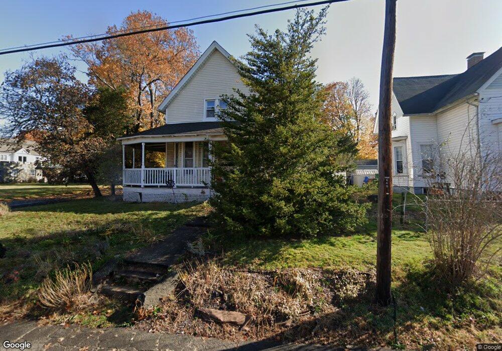
395 Summit St New Haven, CT 06513
Fair Haven Heights NeighborhoodEstimated Value: $394,000 - $515,000
3
Beds
2
Baths
1,999
Sq Ft
$218/Sq Ft
Est. Value
About This Home
This home is located at 395 Summit St, New Haven, CT 06513 and is currently estimated at $435,072, approximately $217 per square foot. 395 Summit St is a home located in New Haven County with nearby schools including Ross Woodward, St Francis & St Rose Of Lima School, and All Nations Christian Academy.
Ownership History
Date
Name
Owned For
Owner Type
Purchase Details
Closed on
May 22, 1990
Sold by
Karlin Joshua C
Bought by
Yuhas Erio S
Current Estimated Value
Home Financials for this Owner
Home Financials are based on the most recent Mortgage that was taken out on this home.
Original Mortgage
$127,800
Interest Rate
10.14%
Purchase Details
Closed on
Oct 5, 1987
Sold by
Seipold Charles F
Bought by
Karlin Joshua C
Create a Home Valuation Report for This Property
The Home Valuation Report is an in-depth analysis detailing your home's value as well as a comparison with similar homes in the area
Home Values in the Area
Average Home Value in this Area
Purchase History
| Date | Buyer | Sale Price | Title Company |
|---|---|---|---|
| Yuhas Erio S | $135,000 | -- | |
| Karlin Joshua C | $152,000 | -- |
Source: Public Records
Mortgage History
| Date | Status | Borrower | Loan Amount |
|---|---|---|---|
| Open | Karlin Joshua C | $178,305 | |
| Closed | Karlin Joshua C | $140,250 | |
| Closed | Karlin Joshua C | $76,000 | |
| Closed | Karlin Joshua C | $127,800 |
Source: Public Records
Tax History Compared to Growth
Tax History
| Year | Tax Paid | Tax Assessment Tax Assessment Total Assessment is a certain percentage of the fair market value that is determined by local assessors to be the total taxable value of land and additions on the property. | Land | Improvement |
|---|---|---|---|---|
| 2025 | $8,263 | $209,720 | $38,080 | $171,640 |
| 2024 | $8,074 | $209,720 | $38,080 | $171,640 |
| 2023 | $7,802 | $209,720 | $38,080 | $171,640 |
| 2022 | $8,336 | $209,720 | $38,080 | $171,640 |
| 2021 | $7,012 | $159,810 | $24,360 | $135,450 |
| 2020 | $7,012 | $159,810 | $24,360 | $135,450 |
| 2019 | $6,869 | $159,810 | $24,360 | $135,450 |
| 2018 | $6,869 | $159,810 | $24,360 | $135,450 |
| 2017 | $6,181 | $159,810 | $24,360 | $135,450 |
| 2016 | $6,512 | $156,730 | $27,440 | $129,290 |
| 2015 | $6,512 | $156,730 | $27,440 | $129,290 |
| 2014 | $6,512 | $156,730 | $27,440 | $129,290 |
Source: Public Records
Map
Nearby Homes
- 728 Quinnipiac Ave
- 714 Quinnipiac Ave
- 314 Lenox St
- 265 Lexington Ave
- 674 Quinnipiac Ave
- 916 Quinnipiac Ave Unit 2
- 22 Mountain Top Ln
- 31 Marie St Unit B
- 926 Quinnipiac Ave Unit 1
- 926 Quinnipiac Ave Unit 8
- 932 Quinnipiac Ave Unit 5
- 533 Quinnipiac Ave
- 100 Front St Unit 100
- 76 Front St Unit 76
- 121 Lexington Ave Unit 21
- 25 Pine St
- 290 Eastern St
- 22 Downing St
- 95 Lenox St Unit L
- 8 Front St Unit D