3951 Patuxent River Rd Harwood, MD 20776
Davidsonville NeighborhoodEstimated Value: $768,580 - $870,000
--
Bed
4
Baths
3,360
Sq Ft
$249/Sq Ft
Est. Value
About This Home
This home is located at 3951 Patuxent River Rd, Harwood, MD 20776 and is currently estimated at $837,395, approximately $249 per square foot. 3951 Patuxent River Rd is a home located in Anne Arundel County with nearby schools including Davidsonville Elementary School, Central Middle School, and South River High School.
Ownership History
Date
Name
Owned For
Owner Type
Purchase Details
Closed on
Jan 22, 2025
Sold by
Smith-Wood Shannon M and Wood Shannon M
Bought by
Shannon Smith-Wood Family Trust and Smith-Wood
Current Estimated Value
Purchase Details
Closed on
Apr 26, 2004
Sold by
Smith Shannon M
Bought by
Wood Shannon M
Purchase Details
Closed on
Aug 27, 1997
Sold by
Smith Robert B
Bought by
Smith Shannon M
Create a Home Valuation Report for This Property
The Home Valuation Report is an in-depth analysis detailing your home's value as well as a comparison with similar homes in the area
Home Values in the Area
Average Home Value in this Area
Purchase History
| Date | Buyer | Sale Price | Title Company |
|---|---|---|---|
| Shannon Smith-Wood Family Trust | -- | None Listed On Document | |
| Shannon Smith-Wood Family Trust | -- | None Listed On Document | |
| Wood Shannon M | -- | -- | |
| Smith Shannon M | $175,000 | -- |
Source: Public Records
Mortgage History
| Date | Status | Borrower | Loan Amount |
|---|---|---|---|
| Closed | Smith Shannon M | -- |
Source: Public Records
Tax History Compared to Growth
Tax History
| Year | Tax Paid | Tax Assessment Tax Assessment Total Assessment is a certain percentage of the fair market value that is determined by local assessors to be the total taxable value of land and additions on the property. | Land | Improvement |
|---|---|---|---|---|
| 2025 | $5,479 | $617,067 | -- | -- |
| 2024 | $5,479 | $587,533 | $0 | $0 |
| 2023 | $5,318 | $558,000 | $285,800 | $272,200 |
| 2022 | $4,988 | $547,867 | $0 | $0 |
| 2021 | $9,805 | $537,733 | $0 | $0 |
| 2020 | $4,777 | $527,600 | $270,800 | $256,800 |
| 2019 | $4,656 | $483,467 | $0 | $0 |
| 2018 | $4,455 | $439,333 | $0 | $0 |
| 2017 | $4,312 | $395,200 | $0 | $0 |
| 2016 | -- | $395,200 | $0 | $0 |
| 2015 | -- | $395,200 | $0 | $0 |
| 2014 | -- | $395,700 | $0 | $0 |
Source: Public Records
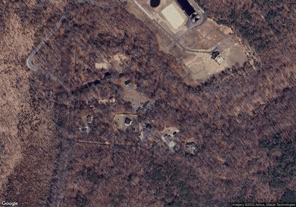
Map
Nearby Homes
- 1527 Patuxent Manor Rd
- 18106 B Central Ave
- 1544 Manor View Rd
- 17905 Queen Anne Rd
- 3732 Nile Rd
- 17436 Claggett Landing Rd
- 1575 Alcova Dr
- 1500, 1501, 1504 Cogar Rd
- 812 Richardson Dr
- 1008 W Central Ave
- 213 King James Rd
- 116 Prospect Dr
- 210 Queen Marie Ct
- 17308 Queen Anne Bridge Rd
- 3501 Foxhall Dr
- 1080 Mount Airy Rd
- 873 Benjamin Branch
- 619 Glen Lake Dr
- 16508 Kilby Ct
- 1203 Double Gate Rd
- 3900 Patuxent River Rd
- 3955 Patuxent River Rd
- 1998 Earl Sullivan Rd
- 3965 Patuxent River Rd
- 3965 Patuxent River Rd
- 1994 Earl Sullivan Rd
- 1980 Earl Sullivan Rd
- 3811 Patuxent River Rd
- 1990 Earl Sullivan Rd
- 3823 Patuxent River Rd
- 3821 Patuxent River Rd
- 3825 Patuxent River Rd
- 3841 Patuxent River Rd
- 3845 Patuxent River Rd
- 128 Queen Anne Bridge Rd
- 126 Queen Anne Bridge Rd
- 3826 Darcey Ln
- 1506 Darcey Ln
- 125 Queen Anne Bridge Rd
- 120 Queen Anne Bridge Rd