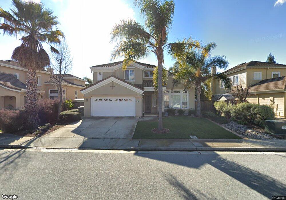
396 Denali Dr Morgan Hill, CA 95037
Estimated Value: $1,436,001 - $1,769,000
4
Beds
3
Baths
2,542
Sq Ft
$638/Sq Ft
Est. Value
About This Home
This home is located at 396 Denali Dr, Morgan Hill, CA 95037 and is currently estimated at $1,621,000, approximately $637 per square foot. 396 Denali Dr is a home located in Santa Clara County with nearby schools including Barrett Elementary School, Britton Middle School, and Ann Sobrato High School.
Ownership History
Date
Name
Owned For
Owner Type
Purchase Details
Closed on
Feb 23, 2000
Sold by
Warmington Kendal Assocs Lp
Bought by
Dininno Alex and Dininno Dianna Yang
Current Estimated Value
Home Financials for this Owner
Home Financials are based on the most recent Mortgage that was taken out on this home.
Original Mortgage
$406,800
Outstanding Balance
$127,991
Interest Rate
7.5%
Estimated Equity
$1,493,009
Create a Home Valuation Report for This Property
The Home Valuation Report is an in-depth analysis detailing your home's value as well as a comparison with similar homes in the area
Home Values in the Area
Average Home Value in this Area
Purchase History
| Date | Buyer | Sale Price | Title Company |
|---|---|---|---|
| Dininno Alex | $509,000 | First American Title Guarant |
Source: Public Records
Mortgage History
| Date | Status | Borrower | Loan Amount |
|---|---|---|---|
| Open | Dininno Alex | $406,800 |
Source: Public Records
Tax History Compared to Growth
Tax History
| Year | Tax Paid | Tax Assessment Tax Assessment Total Assessment is a certain percentage of the fair market value that is determined by local assessors to be the total taxable value of land and additions on the property. | Land | Improvement |
|---|---|---|---|---|
| 2025 | $8,761 | $781,586 | $368,863 | $412,723 |
| 2024 | $8,761 | $766,262 | $361,631 | $404,631 |
| 2023 | $8,647 | $751,239 | $354,541 | $396,698 |
| 2022 | $8,580 | $736,510 | $347,590 | $388,920 |
| 2021 | $8,365 | $722,070 | $340,775 | $381,295 |
| 2020 | $8,164 | $714,667 | $337,281 | $377,386 |
| 2019 | $8,395 | $700,655 | $330,668 | $369,987 |
| 2018 | $8,421 | $686,918 | $324,185 | $362,733 |
| 2017 | $8,342 | $673,450 | $317,829 | $355,621 |
| 2016 | $7,813 | $660,247 | $311,598 | $348,649 |
| 2015 | $7,730 | $650,330 | $306,918 | $343,412 |
| 2014 | $7,840 | $637,592 | $300,906 | $336,686 |
Source: Public Records
Map
Nearby Homes
- 407 Scotts Bluff Place
- 140 La Crosse Dr
- 225 Spring Ave Unit 5
- 16697 Lone Hill Dr
- 260 W Dunne Ave Unit 18
- 260 W Dunne Ave Unit 20
- 385 W Dunne Ave
- 945 Oak Park Dr
- 410 Farallon Dr
- 17120 Viewcrest Ln
- 85 W 5th St
- 605 Encino Dr
- 815 Oak Park Dr
- 17050 Depot St
- 17050 Depot St Unit 300
- 17050 Depot St Unit 200
- 17068 Depot St
- 17112 Depot St
- 17122 Depot St
- 17126 Depot St
- 388 Denali Dr
- 404 Denali Dr
- 393 Yellowstone Dr
- 401 Yellowstone Dr
- 385 Yellowstone Dr
- 412 Denali Dr
- 380 Denali Dr
- 16204 Sunset Ave
- 395 Denali Dr
- 387 Denali Dr
- 377 Yellowstone Dr
- 409 Yellowstone Dr
- 403 Denali Dr
- 411 Denali Dr
- 394 Yellowstone Dr
- 402 Yellowstone Dr
- 398 Waterton Ct
- 390 Waterton Ct
- 386 Yellowstone Dr
- 406 Waterton Ct