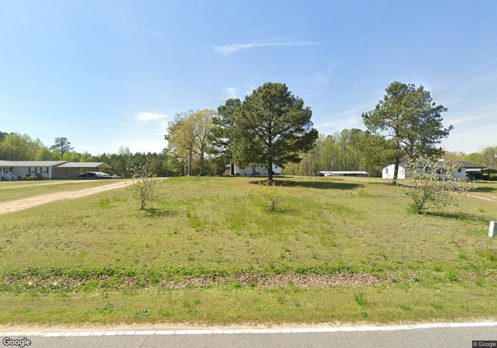
397 Laurel Mill Rd Louisburg, NC 27549
Estimated Value: $181,000 - $246,689
2
Beds
2
Baths
1,612
Sq Ft
$133/Sq Ft
Est. Value
About This Home
This home is located at 397 Laurel Mill Rd, Louisburg, NC 27549 and is currently estimated at $214,672, approximately $133 per square foot. 397 Laurel Mill Rd is a home located in Franklin County with nearby schools including Laurel Mill Elementary School, Terrell Lane Middle School, and Louisburg High School.
Ownership History
Date
Name
Owned For
Owner Type
Purchase Details
Closed on
Feb 1, 2019
Sold by
Bumgarner Angela S
Bought by
Mccarter Cameron and Davis Scottlin
Current Estimated Value
Home Financials for this Owner
Home Financials are based on the most recent Mortgage that was taken out on this home.
Original Mortgage
$97,206
Outstanding Balance
$86,395
Interest Rate
5.25%
Mortgage Type
FHA
Estimated Equity
$128,277
Purchase Details
Closed on
Dec 30, 2013
Sold by
Bumgarner Troy D
Bought by
Bumgarner Angela S
Home Financials for this Owner
Home Financials are based on the most recent Mortgage that was taken out on this home.
Original Mortgage
$31,000
Interest Rate
4.25%
Mortgage Type
New Conventional
Purchase Details
Closed on
Aug 17, 2001
Bought by
Bumgarner Troy D and Bumgarner Angela S
Create a Home Valuation Report for This Property
The Home Valuation Report is an in-depth analysis detailing your home's value as well as a comparison with similar homes in the area
Home Values in the Area
Average Home Value in this Area
Purchase History
| Date | Buyer | Sale Price | Title Company |
|---|---|---|---|
| Mccarter Cameron | $99,000 | None Available | |
| Bumgarner Angela S | -- | None Available | |
| Bumgarner Troy D | $60,000 | -- |
Source: Public Records
Mortgage History
| Date | Status | Borrower | Loan Amount |
|---|---|---|---|
| Open | Mccarter Cameron | $97,206 | |
| Closed | Mccarter Cameron | $8,000 | |
| Previous Owner | Bumgarner Angela S | $31,000 |
Source: Public Records
Tax History Compared to Growth
Tax History
| Year | Tax Paid | Tax Assessment Tax Assessment Total Assessment is a certain percentage of the fair market value that is determined by local assessors to be the total taxable value of land and additions on the property. | Land | Improvement |
|---|---|---|---|---|
| 2025 | $1,177 | $185,970 | $40,290 | $145,680 |
| 2024 | $1,170 | $185,970 | $40,290 | $145,680 |
| 2023 | $984 | $101,662 | $13,192 | $88,470 |
| 2022 | $974 | $101,662 | $13,192 | $88,470 |
| 2021 | $984 | $101,662 | $13,192 | $88,470 |
| 2020 | $990 | $101,662 | $13,192 | $88,470 |
| 2019 | $980 | $101,662 | $13,192 | $88,470 |
| 2018 | $975 | $101,662 | $13,192 | $88,470 |
| 2017 | $908 | $85,333 | $11,993 | $73,340 |
| 2016 | $938 | $85,333 | $11,993 | $73,340 |
| 2015 | $938 | $85,333 | $11,993 | $73,340 |
| 2014 | $868 | $85,333 | $11,993 | $73,340 |
Source: Public Records
Map
Nearby Homes
- 2329 N Carolina 561
- 09 Tillery Dr
- 11 Tillery Dr
- 08 Tillery Dr
- 348 Raymond Tharrington Rd
- 06 Tillery Dr
- 620 Raymond Tharrington Rd
- 592 Perdues Rd
- 317 Brewer Rd
- 4.29 Acres Leonard Rd
- 9.56 Acres Leonard Rd
- 0 Wood Rd
- 0 Roy Tharrington Rd
- 376 T K Allen Rd
- 0 Sutton Rd
- 70 Acres Sutton Rd
- 2253 Pete Smith Rd
- 0 Shortleaf Dr Unit 10119597
- 0 Alert Rd
- 979 Alert Rd
- 411 Laurel Mill Rd
- 425 Laurel Mill Rd
- 469 Laurel Mill Rd
- 212 Laurel Mill Rd
- 216 Laurel Mill Rd
- 245 Laurel Mill Rd
- 245 Laurel Mill Rd
- 240 Laurel Mill Rd
- 202 Laurel Mill Rd
- 377 Laurel Mill Rd
- 626 Laurel Mill Rd
- 114 Laurel Mill Rd
- 114 Laurel Mill Rd
- 176 Laurel Mill Rd
- 114 Laurel Mill Rd
- 163 Laurel Mill Rd
- 129 Pleasants Rd
- 3291 Nc 561 Hwy
- 3291 Nc 561 Hwy
- 3291 Nc 561 Hwy