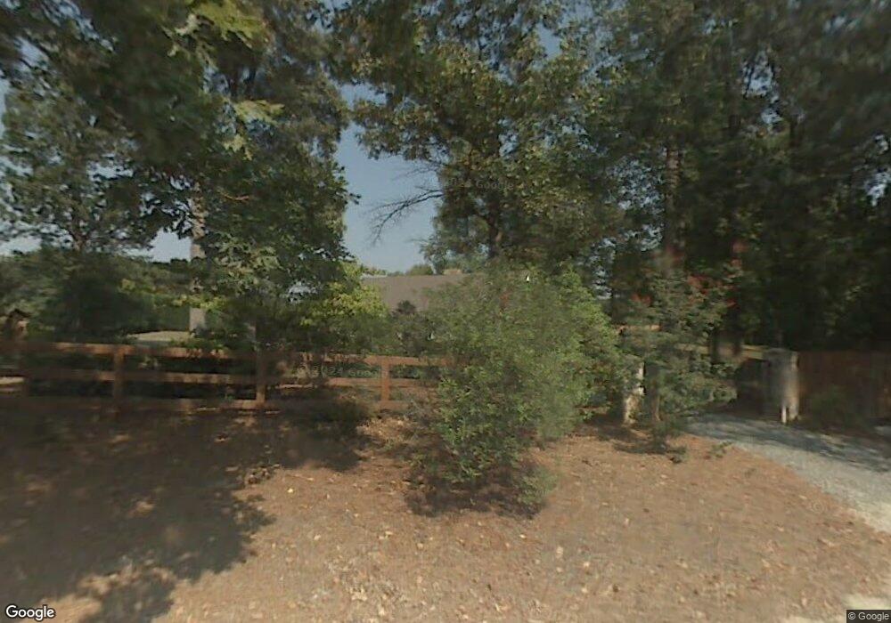
3975 Mossyrock Rd Greensboro, NC 27406
Lynwood NeighborhoodEstimated Value: $397,000 - $439,446
4
Beds
2
Baths
2,565
Sq Ft
$161/Sq Ft
Est. Value
About This Home
This home is located at 3975 Mossyrock Rd, Greensboro, NC 27406 and is currently estimated at $414,112, approximately $161 per square foot. 3975 Mossyrock Rd is a home located in Guilford County with nearby schools including Alamance Elementary School, Southeast Guilford Middle School, and Southeast Guilford High School.
Ownership History
Date
Name
Owned For
Owner Type
Purchase Details
Closed on
Jun 29, 2004
Sold by
Barfield Todd E and Barfield Terri C
Bought by
Brooks Haven Leah
Current Estimated Value
Home Financials for this Owner
Home Financials are based on the most recent Mortgage that was taken out on this home.
Original Mortgage
$8,000
Interest Rate
6.3%
Mortgage Type
Purchase Money Mortgage
Purchase Details
Closed on
Jun 24, 1997
Bought by
Barfield Todd E
Create a Home Valuation Report for This Property
The Home Valuation Report is an in-depth analysis detailing your home's value as well as a comparison with similar homes in the area
Home Values in the Area
Average Home Value in this Area
Purchase History
| Date | Buyer | Sale Price | Title Company |
|---|---|---|---|
| Brooks Haven Leah | $10,000 | -- | |
| Barfield Todd E | $146,000 | -- |
Source: Public Records
Mortgage History
| Date | Status | Borrower | Loan Amount |
|---|---|---|---|
| Closed | Brooks Haven Leah | $8,000 |
Source: Public Records
Tax History Compared to Growth
Tax History
| Year | Tax Paid | Tax Assessment Tax Assessment Total Assessment is a certain percentage of the fair market value that is determined by local assessors to be the total taxable value of land and additions on the property. | Land | Improvement |
|---|---|---|---|---|
| 2025 | $2,108 | $237,900 | $52,500 | $185,400 |
| 2024 | $2,108 | $237,900 | $52,500 | $185,400 |
| 2023 | $2,108 | $237,900 | $52,500 | $185,400 |
| 2022 | $2,108 | $237,900 | $52,500 | $185,400 |
| 2021 | $1,828 | $206,300 | $30,000 | $176,300 |
| 2020 | $1,755 | $206,300 | $30,000 | $176,300 |
| 2019 | $1,750 | $206,300 | $0 | $0 |
| 2018 | $1,742 | $206,300 | $0 | $0 |
| 2017 | $1,713 | $206,300 | $0 | $0 |
| 2016 | $1,760 | $205,900 | $0 | $0 |
| 2015 | $1,770 | $205,900 | $0 | $0 |
| 2014 | $1,791 | $205,900 | $0 | $0 |
Source: Public Records
Map
Nearby Homes
- 2909 Charolais Dr
- 3219 Jidemi Rd
- 2403 Hunters Ridge Dr
- 3792 Northumberland Dr
- 2404 Hunters Ridge Dr
- 5107 Foxview Dr
- 3911 Williams Dairy Rd
- 3704 Liberty Rd
- 3700 Liberty Rd
- 4502 Brookhaven Dr
- 2008 Neelley Rd Unit 1
- 4508 Brookhaven Dr
- 2001 Neelley Rd
- 2103 Liberty Valley Rd
- 1500 Wiley Lewis Rd
- 3029 Glass Rd
- 1614 Alamance Church Rd
- 3005 Glass Rd
- 3803 Oakcliffe Rd
- 3931 Manila Rd
- 2413 Varner Rd
- 2400 Varner Rd
- 2404 Varner Rd
- 2415 Varner Rd
- 4001 Liberty Rd
- 2417 Varner Rd
- 3965 Mossyrock Rd
- 3995 Liberty Rd
- 4007 Liberty Rd
- 2505 Erin Ln
- 3943 Mossyrock Rd
- 4015 Liberty Rd
- 3950 Mossyrock Rd
- 4006 Liberty Rd
- 3941 Mossyrock Rd
- 4025 Liberty Rd
- 4012 Liberty Rd
- 3983 Liberty Rd
- 2425 Varner Rd
- 4029 Liberty Rd
