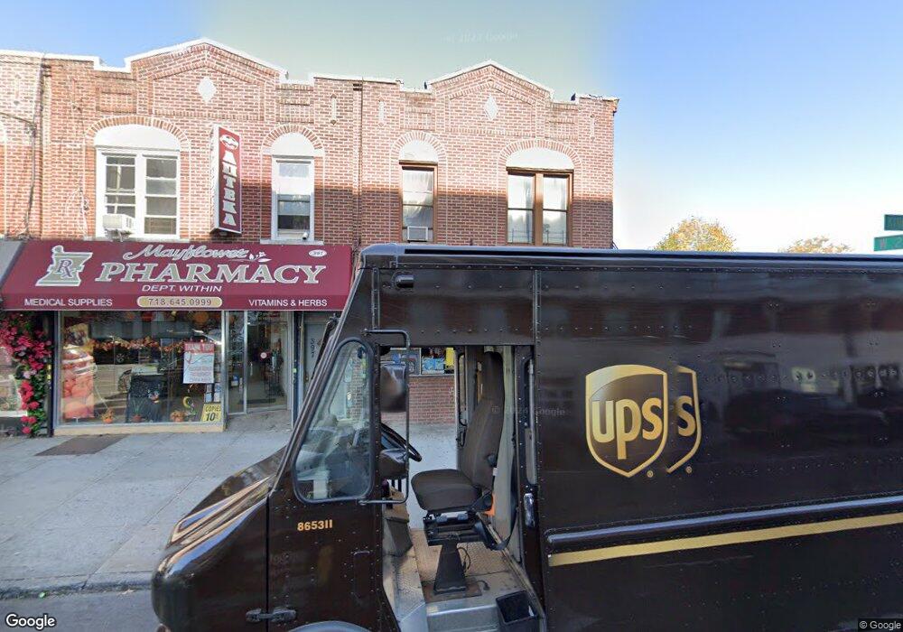
399 Kings Hwy Brooklyn, NY 11223
Gravesend NeighborhoodEstimated Value: $1,510,427
--
Bed
--
Bath
3,332
Sq Ft
$453/Sq Ft
Est. Value
About This Home
This home is located at 399 Kings Hwy, Brooklyn, NY 11223 and is currently estimated at $1,510,427, approximately $453 per square foot. 399 Kings Hwy is a home located in Kings County with nearby schools including P.S.177 The Marlboro, Is 228 David A Boody, and Success Academy Charter School - Bensonhurst.
Ownership History
Date
Name
Owned For
Owner Type
Purchase Details
Closed on
Sep 19, 2000
Sold by
Public Administrator Of Kings County
Bought by
Anjonic Real Estate
Current Estimated Value
Home Financials for this Owner
Home Financials are based on the most recent Mortgage that was taken out on this home.
Original Mortgage
$300,000
Interest Rate
7.78%
Mortgage Type
Commercial
Create a Home Valuation Report for This Property
The Home Valuation Report is an in-depth analysis detailing your home's value as well as a comparison with similar homes in the area
Home Values in the Area
Average Home Value in this Area
Purchase History
| Date | Buyer | Sale Price | Title Company |
|---|---|---|---|
| Anjonic Real Estate | $460,000 | The Title Guarantee Company | |
| Anjonic Real Estate | $460,000 | The Title Guarantee Company |
Source: Public Records
Mortgage History
| Date | Status | Borrower | Loan Amount |
|---|---|---|---|
| Closed | Anjonic Real Estate | $300,000 |
Source: Public Records
Tax History Compared to Growth
Tax History
| Year | Tax Paid | Tax Assessment Tax Assessment Total Assessment is a certain percentage of the fair market value that is determined by local assessors to be the total taxable value of land and additions on the property. | Land | Improvement |
|---|---|---|---|---|
| 2025 | $29,417 | $315,900 | $96,300 | $219,600 |
| 2024 | $29,417 | $283,500 | $96,300 | $187,200 |
| 2023 | $26,726 | $262,800 | $96,300 | $166,500 |
| 2022 | $24,682 | $266,400 | $96,300 | $170,100 |
| 2021 | $22,914 | $290,700 | $96,300 | $194,400 |
| 2020 | $17,185 | $316,800 | $96,300 | $220,500 |
| 2019 | $22,828 | $271,620 | $96,300 | $175,320 |
| 2018 | $21,316 | $167,594 | $71,302 | $96,292 |
| 2017 | $19,737 | $155,181 | $69,185 | $85,996 |
| 2016 | $18,524 | $143,687 | $70,687 | $73,000 |
| 2015 | $12,026 | $143,687 | $77,453 | $66,234 |
| 2014 | $12,026 | $139,231 | $87,121 | $52,110 |
Source: Public Records
Map
Nearby Homes
- 1728 W 2nd St
- 379 Kings Hwy Unit 2A
- 431 Kings Hwy
- 412 Kings Hwy Unit 6C
- 355 Kings Hwy Unit 5C
- 1652 Dahill Rd
- 1640 W 1st St
- 340 Avenue P
- 1721 W 6th St Unit 2A
- 218 Highlawn Ave
- 1632 W 4th St
- 1734 E 2nd St
- 1853 W 4th St
- 380 Avenue P
- 1844 W 4th St
- 83 Van Sicklen St
- 204 Highlawn Ave
- 339 Avenue P Unit 2B
- 339 Avenue P Unit 2A
- 1806 McDonald Ave
- 395 Kings Hwy
- 397 Kings Hwy
- 393 Kings Hwy
- 391 Kings Hwy
- 394 Kings Hwy
- 390 Kings Hwy Unit 5A
- 390 Kings Hwy Unit 2
- 390 Kings Hwy Unit 2D
- 390 Kings Hwy
- 390 Kings Hwy Unit 2B
- 390 Kings Hwy Unit 1
- 390 Kings Hwy Unit 6C
- 390 Kings Hwy Unit 6D
- 390 Kings Hwy Unit 2C
- 390 Kings Hwy Unit 6B
- 390 Kings Hwy Unit 6A
- 390 Kings Hwy Unit 5B
- 390 Kings Hwy Unit 3
- 390 Kings Hwy Unit 5D
- 390 Kings Hwy Unit 4