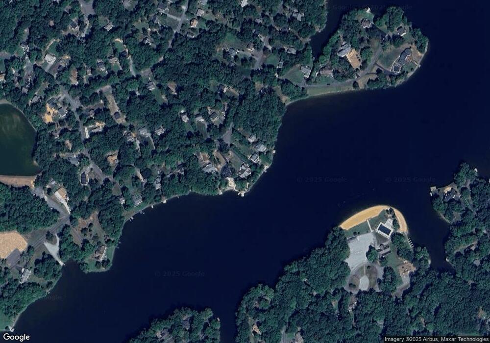
399 Land Or Dr Ruther Glen, VA 22546
Estimated Value: $556,000 - $690,000
3
Beds
5
Baths
2,021
Sq Ft
$311/Sq Ft
Est. Value
About This Home
This home is located at 399 Land Or Dr, Ruther Glen, VA 22546 and is currently estimated at $628,245, approximately $310 per square foot. 399 Land Or Dr is a home located in Caroline County with nearby schools including Caroline Middle School and Caroline High School.
Ownership History
Date
Name
Owned For
Owner Type
Purchase Details
Closed on
Jan 17, 2011
Sold by
Dowling David
Bought by
Dowling David and Dowling Debra
Current Estimated Value
Home Financials for this Owner
Home Financials are based on the most recent Mortgage that was taken out on this home.
Original Mortgage
$270,000
Outstanding Balance
$184,517
Interest Rate
4.83%
Mortgage Type
New Conventional
Estimated Equity
$443,728
Purchase Details
Closed on
Aug 29, 2002
Sold by
Yim Peter W S
Bought by
Maggiolli Frank
Create a Home Valuation Report for This Property
The Home Valuation Report is an in-depth analysis detailing your home's value as well as a comparison with similar homes in the area
Home Values in the Area
Average Home Value in this Area
Purchase History
| Date | Buyer | Sale Price | Title Company |
|---|---|---|---|
| Dowling David | -- | Heritage Title Company Of Va | |
| Maggiolli Frank | $39,000 | -- |
Source: Public Records
Mortgage History
| Date | Status | Borrower | Loan Amount |
|---|---|---|---|
| Open | Dowling David | $270,000 |
Source: Public Records
Tax History Compared to Growth
Tax History
| Year | Tax Paid | Tax Assessment Tax Assessment Total Assessment is a certain percentage of the fair market value that is determined by local assessors to be the total taxable value of land and additions on the property. | Land | Improvement |
|---|---|---|---|---|
| 2025 | $480,095 | $623,500 | $95,000 | $528,500 |
| 2024 | $3,376 | $438,400 | $92,000 | $346,400 |
| 2023 | $3,376 | $438,400 | $92,000 | $346,400 |
| 2022 | $3,376 | $438,400 | $92,000 | $346,400 |
| 2021 | $3,376 | $438,400 | $92,000 | $346,400 |
| 2020 | $3,239 | $390,300 | $76,000 | $314,300 |
| 2019 | $3,239 | $390,300 | $76,000 | $314,300 |
| 2018 | $3,239 | $390,300 | $76,000 | $314,300 |
| 2017 | $3,239 | $390,300 | $76,000 | $314,300 |
| 2016 | $3,200 | $390,300 | $76,000 | $314,300 |
| 2015 | $2,726 | $378,600 | $76,000 | $302,600 |
| 2014 | $2,726 | $378,600 | $76,000 | $302,600 |
Source: Public Records
Map
Nearby Homes
- 384 Land Or Dr
- 20 Greenvale Ct
- 373 Land Or Dr
- 80 Albertson Ct
- 370 Land Or Dr
- 10 Mahon Cir
- 291 Land Or Dr
- 459 Land Or Dr
- 514 Redground Dr
- 229 Estate Dr
- 208 Sea Cliff Dr
- 203 Sea Cliff Dr
- 226 Sea Cliff Dr
- 975 Swan Ln
- 993 Swan Ln
- 747 Glen Cove Dr
- 612 Wright Dr
- 227 Stafford Dr
- 227 Kent Dr
- 224 Woodside Ln
- 401 Land Or Dr
- 397 Land Or Dr Unit 6/02/2009
- 397 Land Or Dr
- 395 Land Or Dr
- 403 Land Or Dr
- 393 Land Or Dr
- 407 Land Or Dr
- 396 Land Or Dr
- 398 Land Or Dr
- 394 Land Or Dr
- 400 Land Or Dr
- 409 Land Or Dr
- 389 Land Or Dr
- 392 Land Or Dr
- 411 Land Or Dr
- 408 Land Or Dr
- 17 Greenvale Ct
- 21 Greenvale Ct
- 413 Land Or Dr
- 410 Land Or Dr
