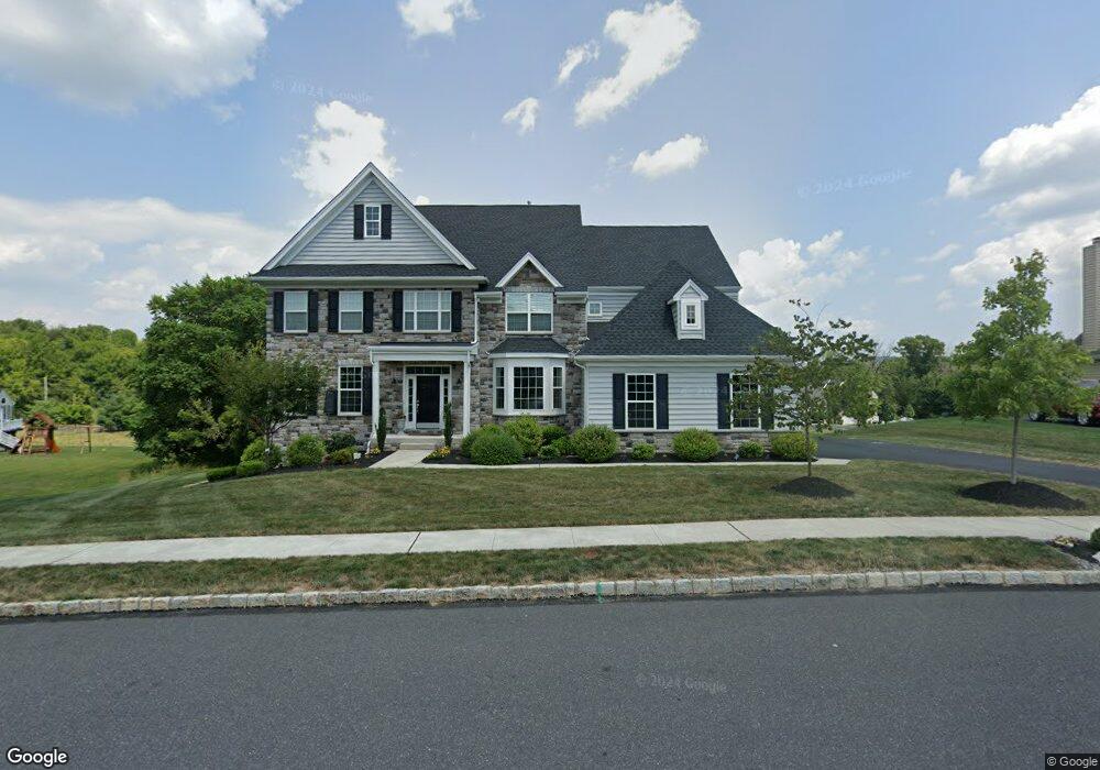
3995 Thompsondale Rd Coopersburg, PA 18036
Upper Saucon Township NeighborhoodEstimated Value: $856,000 - $1,136,000
4
Beds
5
Baths
4,543
Sq Ft
$213/Sq Ft
Est. Value
About This Home
This home is located at 3995 Thompsondale Rd, Coopersburg, PA 18036 and is currently estimated at $969,060, approximately $213 per square foot. 3995 Thompsondale Rd is a home with nearby schools including Southern Lehigh High School, Providence Hybrid Academy, and St. Michael the Archangel School.
Ownership History
Date
Name
Owned For
Owner Type
Purchase Details
Closed on
Nov 17, 2020
Sold by
Reserve At Saucon Creek Lp
Bought by
Radick Erik J and Radick Melissa
Current Estimated Value
Home Financials for this Owner
Home Financials are based on the most recent Mortgage that was taken out on this home.
Original Mortgage
$510,400
Outstanding Balance
$454,183
Interest Rate
2.8%
Mortgage Type
New Conventional
Estimated Equity
$514,877
Create a Home Valuation Report for This Property
The Home Valuation Report is an in-depth analysis detailing your home's value as well as a comparison with similar homes in the area
Home Values in the Area
Average Home Value in this Area
Purchase History
| Date | Buyer | Sale Price | Title Company |
|---|---|---|---|
| Radick Erik J | $609,288 | None Available |
Source: Public Records
Mortgage History
| Date | Status | Borrower | Loan Amount |
|---|---|---|---|
| Open | Radick Erik J | $510,400 |
Source: Public Records
Tax History Compared to Growth
Tax History
| Year | Tax Paid | Tax Assessment Tax Assessment Total Assessment is a certain percentage of the fair market value that is determined by local assessors to be the total taxable value of land and additions on the property. | Land | Improvement |
|---|---|---|---|---|
| 2025 | $12,345 | $544,200 | $52,100 | $492,100 |
| 2024 | $12,345 | $544,200 | $52,100 | $492,100 |
| 2023 | $12,195 | $544,200 | $52,100 | $492,100 |
| 2022 | $12,015 | $544,200 | $492,100 | $52,100 |
| 2021 | $11,747 | $1,036,300 | $52,100 | $984,200 |
| 2020 | $1,103 | $52,100 | $52,100 | $0 |
| 2019 | $1,085 | $52,100 | $52,100 | $0 |
| 2018 | $1,085 | $52,100 | $52,100 | $0 |
| 2017 | $1,075 | $52,100 | $52,100 | $0 |
| 2016 | -- | $52,100 | $52,100 | $0 |
| 2015 | -- | $52,100 | $52,100 | $0 |
| 2014 | -- | $52,100 | $52,100 | $0 |
Source: Public Records
Map
Nearby Homes
- 6692 N Main St
- 6230 Main St
- 6064 Main St
- 4184 Yorktown Rd
- 5983 Valley Forge Dr
- 5985 Saratoga Ln
- 804 W State St
- 1008 W State St
- Helena Plan at Ashford Preserve
- Meadowood Plan at Ashford Preserve
- Anderson Plan at Ashford Preserve
- The Bennett Plan at Ashford Preserve
- Wells Plan at Ashford Preserve
- 4880 Mar St
- 818 W Station Ave
- 119 Ashford Dr
- 3779 Preston Ln
- 135 S Main St
- 7201 Suter Rd
- 167 Ashford Dr
- 4015 Thompsondale Rd
- 3965 Liberty Creek Pkwy
- 6335 Candle Place
- 3925 Liberty Creek Pkwy
- 4010 Thompsondale Rd
- 6325 Candle Place Unit 46
- 6325 Candle Place
- 3934 Liberty Rd
- 3980 Thompsondale Rd
- 3980 Thompsondale Rd Unit 54
- 3915 Liberty Creek Pkwy
- 4030 Thompsondale Rd
- 3905 Liberty Creek Pkwy
- 6330 Candle Place
- 4065 Liberty Creek Pkwy
- 6320 Candle Place
- 3960 Liberty Creek Pkwy
- 4050 Thompsondale Rd
- 4030 Liberty Creek Pkwy
- 4075 Liberty Creek Pkwy