4 Estey Rd North Billerica, MA 01862
Estimated Value: $1,068,185 - $1,227,000
4
Beds
4
Baths
3,329
Sq Ft
$351/Sq Ft
Est. Value
About This Home
This home is located at 4 Estey Rd, North Billerica, MA 01862 and is currently estimated at $1,167,296, approximately $350 per square foot. 4 Estey Rd is a home located in Middlesex County with nearby schools including Billerica Memorial High School.
Ownership History
Date
Name
Owned For
Owner Type
Purchase Details
Closed on
Jun 13, 2011
Sold by
Grogan Craig L and Grogan Maureen
Bought by
Rana Darshan V and Rana Kiran D
Current Estimated Value
Home Financials for this Owner
Home Financials are based on the most recent Mortgage that was taken out on this home.
Original Mortgage
$417,000
Outstanding Balance
$288,860
Interest Rate
4.81%
Mortgage Type
Purchase Money Mortgage
Estimated Equity
$878,437
Purchase Details
Closed on
Dec 21, 2004
Sold by
Selma Rt and Annese
Bought by
Annese Richard L and Annese Matthew R
Purchase Details
Closed on
Jun 19, 2000
Sold by
Shell Mary Santa Est and Shell
Bought by
Higgins-Obrien Carol and Obrien Wallace F
Purchase Details
Closed on
Jul 3, 1990
Sold by
Est M G Robertson
Bought by
Arakelian Rt
Create a Home Valuation Report for This Property
The Home Valuation Report is an in-depth analysis detailing your home's value as well as a comparison with similar homes in the area
Home Values in the Area
Average Home Value in this Area
Purchase History
| Date | Buyer | Sale Price | Title Company |
|---|---|---|---|
| Rana Darshan V | $615,000 | -- | |
| Annese Richard L | -- | -- | |
| Annese Richard L | -- | -- | |
| Higgins-Obrien Carol | $2,273 | -- | |
| Higgins-Obrien Carol | $47,727 | -- | |
| Arakelian Rt | $35,203 | -- | |
| Rana Darshan V | $615,000 | -- | |
| Annese Richard L | -- | -- | |
| Higgins-Obrien Carol | $2,273 | -- | |
| Arakelian Rt | $35,203 | -- |
Source: Public Records
Mortgage History
| Date | Status | Borrower | Loan Amount |
|---|---|---|---|
| Open | Rana Darshan V | $417,000 | |
| Closed | Arakelian Rt | $417,000 | |
| Previous Owner | Arakelian Rt | $370,000 |
Source: Public Records
Tax History Compared to Growth
Tax History
| Year | Tax Paid | Tax Assessment Tax Assessment Total Assessment is a certain percentage of the fair market value that is determined by local assessors to be the total taxable value of land and additions on the property. | Land | Improvement |
|---|---|---|---|---|
| 2025 | $10,437 | $917,900 | $287,600 | $630,300 |
| 2024 | $10,382 | $919,600 | $287,600 | $632,000 |
| 2023 | $9,490 | $799,500 | $208,700 | $590,800 |
| 2022 | $8,787 | $695,200 | $209,300 | $485,900 |
| 2021 | $4,224 | $647,900 | $200,500 | $447,400 |
| 2020 | $8,416 | $647,900 | $200,500 | $447,400 |
| 2019 | $8,042 | $596,600 | $177,500 | $419,100 |
| 2018 | $3,404 | $547,300 | $157,700 | $389,600 |
| 2017 | $3,211 | $524,100 | $156,100 | $368,000 |
| 2016 | $7,360 | $520,500 | $152,500 | $368,000 |
| 2015 | $7,243 | $515,900 | $147,900 | $368,000 |
| 2014 | $7,407 | $518,300 | $143,300 | $375,000 |
Source: Public Records
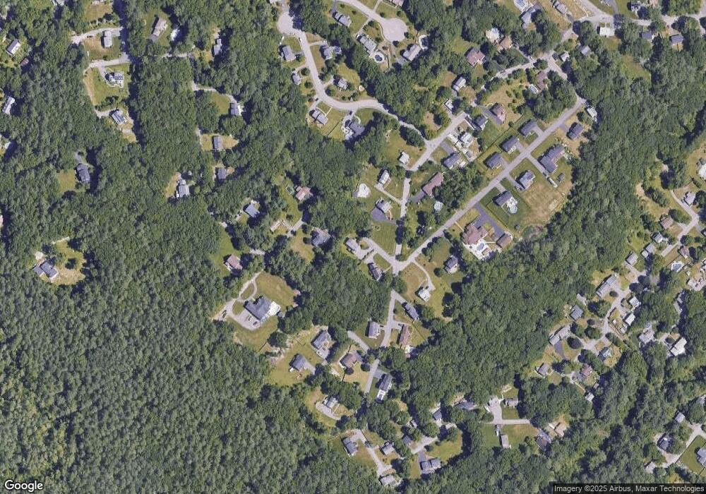
Map
Nearby Homes
- 4 Dove Ln
- 63 Outlook Rd
- 43 Outlook Rd
- 6 Edgehill Rd
- 198 Nashua Rd
- 383 E Riding Dr
- 282 Brook St
- 125 Maple St
- 7 Alder Way Unit 159
- 11 Simonds Farm Rd
- 11 Kay's Walk
- 7 Stonegate Ln Unit 134
- 12 Springs Rd
- 5 Chestnut Ln Unit 120
- 3 Kay's Walk
- 15 Kay's Walk
- 1 Kay's Walk Unit 1
- 1 Kay's Walk
- 13 Kay's Walk
- 15 Kay's Walk Unit 4