4 Forest Ave Gilford, NH 03249
Estimated Value: $456,703 - $550,000
2
Beds
2
Baths
1,512
Sq Ft
$325/Sq Ft
Est. Value
About This Home
This home is located at 4 Forest Ave, Gilford, NH 03249 and is currently estimated at $491,926, approximately $325 per square foot. 4 Forest Ave is a home with nearby schools including Gilford Elementary School, Gilford Middle School, and Gilford High School.
Ownership History
Date
Name
Owned For
Owner Type
Purchase Details
Closed on
Jul 21, 2003
Sold by
Delgenio Carmine A and Delgenio Lucia C
Bought by
Bates John S and Bates Amy E
Current Estimated Value
Home Financials for this Owner
Home Financials are based on the most recent Mortgage that was taken out on this home.
Original Mortgage
$110,400
Outstanding Balance
$47,219
Interest Rate
5.34%
Estimated Equity
$444,707
Create a Home Valuation Report for This Property
The Home Valuation Report is an in-depth analysis detailing your home's value as well as a comparison with similar homes in the area
Home Values in the Area
Average Home Value in this Area
Purchase History
| Date | Buyer | Sale Price | Title Company |
|---|---|---|---|
| Bates John S | $145,000 | -- |
Source: Public Records
Mortgage History
| Date | Status | Borrower | Loan Amount |
|---|---|---|---|
| Open | Bates John S | $110,400 |
Source: Public Records
Tax History Compared to Growth
Tax History
| Year | Tax Paid | Tax Assessment Tax Assessment Total Assessment is a certain percentage of the fair market value that is determined by local assessors to be the total taxable value of land and additions on the property. | Land | Improvement |
|---|---|---|---|---|
| 2024 | $4,023 | $357,610 | $129,010 | $228,600 |
| 2023 | $3,683 | $357,610 | $129,010 | $228,600 |
| 2022 | $2,802 | $228,770 | $54,970 | $173,800 |
| 2021 | $2,809 | $228,770 | $54,970 | $173,800 |
| 2020 | $2,844 | $189,220 | $46,820 | $142,400 |
| 2019 | $2,803 | $176,730 | $41,030 | $135,700 |
| 2018 | $2,628 | $154,240 | $41,140 | $113,100 |
| 2017 | $2,662 | $154,240 | $41,140 | $113,100 |
| 2016 | $2,820 | $157,100 | $51,500 | $105,600 |
| 2015 | $2,659 | $147,980 | $44,880 | $103,100 |
| 2011 | $2,683 | $144,650 | $51,050 | $93,600 |
Source: Public Records
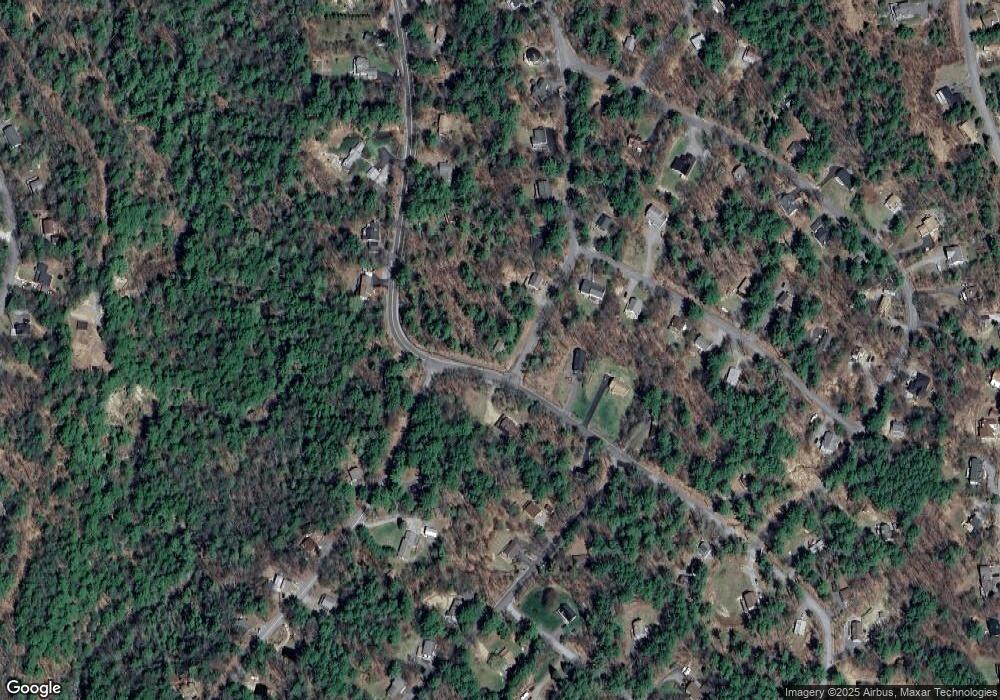
Map
Nearby Homes
- 39 Deer Run Ln
- 55 White Birch Dr
- 4 Cheshire Cir
- 26 Chalet Dr
- 663 Cherry Valley Rd Unit 311
- 90 Briarcliff Rd
- 235 Cumberland Rd
- 6 Cumberland Rd Unit 22
- 22 Silver St
- 9 Chestnut Dr
- 12 Balsam Dr
- 18 Balsam Dr
- 102 Curtis Rd
- 197 Scenic Dr Unit 3
- 214 Sagamore Rd
- 1 Woodbridge Lsp Rd
- 56 Foxglove Rd
- 2696 Lake Shore Rd Unit 108
- 2696 Lake Shore Rd Unit 61
- 14 Curtis Rd
- 75 Crestview Dr Unit 75
- 82 Crestview Dr
- 10 Forest Ave
- 11 Forest Ave
- 63 River Rd
- 16 Forest Ave
- 3 Hickory Stick Ln
- 71 Crestview Dr
- 76 Cottonwood Trail
- 72 Crestview Dr
- 7 Hickory Stick Ln
- 81 Cottonwood Trail
- 2 Hickory Stick Ln
- 60 Upland Dr
- 59 River Rd
- 22 Forest Ave
- 63 Crestview Dr
- 70 Cottonwood Trail
- 11 Hickory Stick Ln
- 54 River Rd