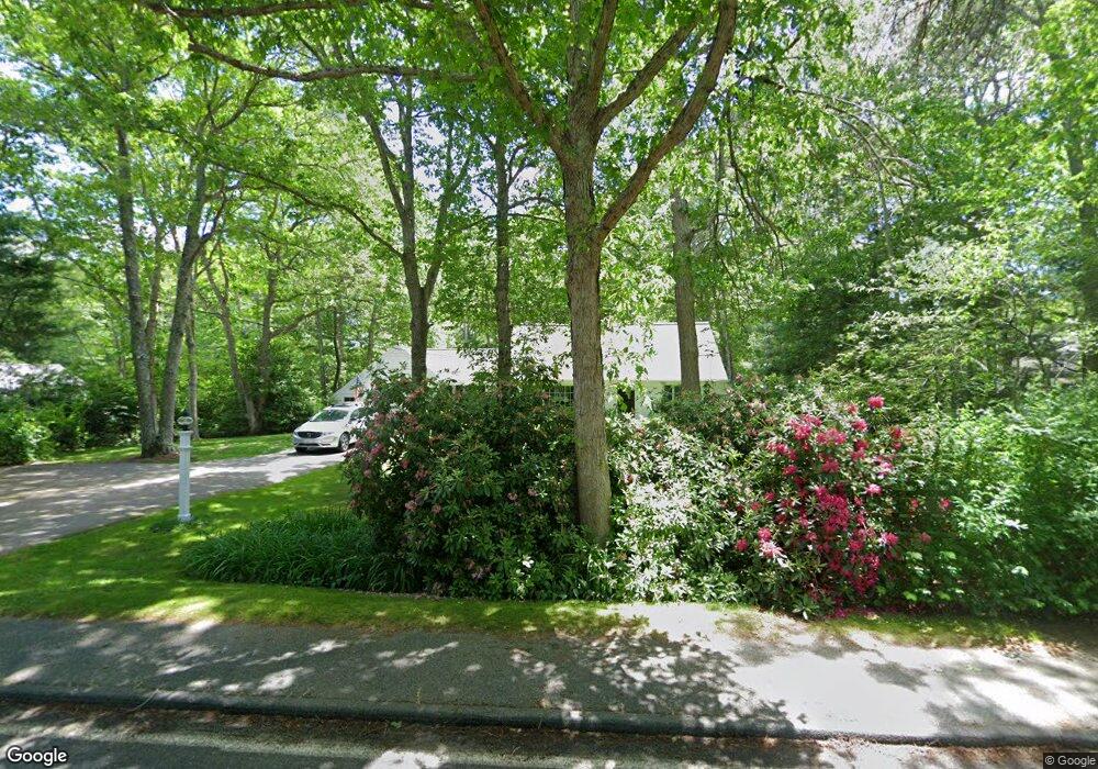
4 Mill Rd East Sandwich, MA 02537
Estimated Value: $597,804 - $675,000
4
Beds
2
Baths
1,201
Sq Ft
$527/Sq Ft
Est. Value
About This Home
This home is located at 4 Mill Rd, East Sandwich, MA 02537 and is currently estimated at $632,951, approximately $527 per square foot. 4 Mill Rd is a home located in Barnstable County with nearby schools including Sandwich Middle High School, Montessori School of Sandwich, and Riverview School.
Ownership History
Date
Name
Owned For
Owner Type
Purchase Details
Closed on
Mar 27, 1998
Sold by
Wason Robert C and Wason Helen D
Bought by
Greenhalgh Bruce H and Greenhalgh Erin K
Current Estimated Value
Purchase Details
Closed on
Sep 1, 1994
Sold by
Megley James W and Megley Barbara S
Bought by
Wason Robert C and Wason Helen D
Create a Home Valuation Report for This Property
The Home Valuation Report is an in-depth analysis detailing your home's value as well as a comparison with similar homes in the area
Home Values in the Area
Average Home Value in this Area
Purchase History
| Date | Buyer | Sale Price | Title Company |
|---|---|---|---|
| Greenhalgh Bruce H | $135,000 | -- | |
| Wason Robert C | $115,000 | -- |
Source: Public Records
Mortgage History
| Date | Status | Borrower | Loan Amount |
|---|---|---|---|
| Open | Wason Robert C | $209,905 | |
| Closed | Wason Robert C | $20,000 |
Source: Public Records
Tax History Compared to Growth
Tax History
| Year | Tax Paid | Tax Assessment Tax Assessment Total Assessment is a certain percentage of the fair market value that is determined by local assessors to be the total taxable value of land and additions on the property. | Land | Improvement |
|---|---|---|---|---|
| 2025 | $5,168 | $488,900 | $182,100 | $306,800 |
| 2024 | $4,885 | $452,300 | $162,600 | $289,700 |
| 2023 | $4,776 | $415,300 | $147,800 | $267,500 |
| 2022 | $4,581 | $348,100 | $132,000 | $216,100 |
| 2021 | $4,405 | $319,900 | $126,900 | $193,000 |
| 2020 | $4,393 | $307,000 | $124,000 | $183,000 |
| 2019 | $4,199 | $293,200 | $121,700 | $171,500 |
| 2018 | $3,960 | $277,100 | $117,500 | $159,600 |
| 2017 | $3,922 | $262,700 | $113,700 | $149,000 |
| 2016 | $3,628 | $250,700 | $112,600 | $138,100 |
| 2015 | $3,486 | $235,200 | $101,400 | $133,800 |
Source: Public Records
Map
Nearby Homes
- 186 Quaker Meeting House Rd
- 52 Windsor Rd
- 296 Cotuit Rd
- 193 Farmersville Rd
- 6 Woodvue Cir
- 58 Southpoint Dr Unit J
- 376 Route 6a Unit 17
- 185 Cotuit Rd Unit BE4
- 185 Cotuit Rd Unit JP1
- 185 Cotuit Rd Unit MA 5
- 9 Bramble Bush Dr
- 8 Peters Pond Dr
- 163 Cotuit Rd
- 17 Southpoint Dr Unit 17
- 17 Southpoint Dr Unit 17C
- 86 Greenville Dr
- 34 Southpoint Dr
- 93 Deerfield Rd
- 5 Aviators Ln
- 9 Crestview Drive Extension
- 2 Wee Heather Way
- 6 Mill Rd
- 11 Turtle Cove Rd
- 1 Mill Rd
- 13 Turtle Cove Rd
- 9 Turtle Cove Rd
- 5 Mill Rd
- 8 Mill Rd
- 3 Wee Heather Way
- 15 Turtle Cove Rd
- 184 Quaker Meetinghouse Rd
- 7 Mill Rd
- 1 Wee Heather Way
- 184 Quaker Meeting House Rd
- 10 Mill Rd
- 12 Turtle Cove Rd
- 17 Turtle Cove Rd
- 9 Mill Rd
- 164 Quaker Meeting House Rd
- 10 Turtle Cove Rd