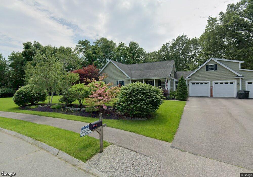
4 Rothchild Dr Foxboro, MA 02035
Estimated Value: $741,000 - $1,150,000
3
Beds
5
Baths
2,867
Sq Ft
$354/Sq Ft
Est. Value
About This Home
This home is located at 4 Rothchild Dr, Foxboro, MA 02035 and is currently estimated at $1,014,634, approximately $353 per square foot. 4 Rothchild Dr is a home located in Norfolk County with nearby schools including Foxborough High School, St Mary's Catholic School, and Hands-On-Montessori School.
Ownership History
Date
Name
Owned For
Owner Type
Purchase Details
Closed on
Jul 26, 2006
Sold by
Jake Dev Llc
Bought by
Treannie Doanld R and Gilbert Heather M
Current Estimated Value
Home Financials for this Owner
Home Financials are based on the most recent Mortgage that was taken out on this home.
Original Mortgage
$346,640
Outstanding Balance
$207,098
Interest Rate
6.67%
Mortgage Type
Purchase Money Mortgage
Estimated Equity
$807,536
Create a Home Valuation Report for This Property
The Home Valuation Report is an in-depth analysis detailing your home's value as well as a comparison with similar homes in the area
Home Values in the Area
Average Home Value in this Area
Purchase History
| Date | Buyer | Sale Price | Title Company |
|---|---|---|---|
| Treannie Doanld R | $235,000 | -- |
Source: Public Records
Mortgage History
| Date | Status | Borrower | Loan Amount |
|---|---|---|---|
| Open | Treannie Doanld R | $346,640 |
Source: Public Records
Tax History Compared to Growth
Tax History
| Year | Tax Paid | Tax Assessment Tax Assessment Total Assessment is a certain percentage of the fair market value that is determined by local assessors to be the total taxable value of land and additions on the property. | Land | Improvement |
|---|---|---|---|---|
| 2025 | $10,930 | $826,800 | $289,100 | $537,700 |
| 2024 | $8,175 | $605,100 | $294,200 | $310,900 |
| 2023 | $7,547 | $531,100 | $280,400 | $250,700 |
| 2022 | $7,150 | $492,400 | $235,400 | $257,000 |
| 2021 | $6,906 | $468,500 | $218,000 | $250,500 |
| 2020 | $6,551 | $449,600 | $218,000 | $231,600 |
| 2019 | $6,367 | $433,100 | $207,600 | $225,500 |
| 2018 | $6,186 | $424,600 | $207,600 | $217,000 |
| 2017 | $5,926 | $394,000 | $194,000 | $200,000 |
| 2016 | $5,974 | $403,100 | $195,700 | $207,400 |
| 2015 | $5,733 | $377,400 | $165,600 | $211,800 |
| 2014 | $5,366 | $358,000 | $154,800 | $203,200 |
Source: Public Records
Map
Nearby Homes
- 5 Lauren Ln
- 67 Morse St
- 619 N Main St
- 44 Angell St Unit 44
- 261 East St
- 60 King St
- 28 Angell St
- 82 Brook St
- 55-57 Pine Needle Ln
- 99 Pleasant St
- 25 Winter St
- 12 Community Way
- 409 Pratt St
- 22 Pleasant St Unit A
- 22 Pleasant St Unit B
- 356 Central St
- 150 Rumford Ave Unit 222
- 9 Independence Dr Unit 9
- 35 Independence Dr Unit 35
- 72 Court St Unit B