Estimated Value: $673,240 - $834,000
2
Beds
2
Baths
810
Sq Ft
$921/Sq Ft
Est. Value
About This Home
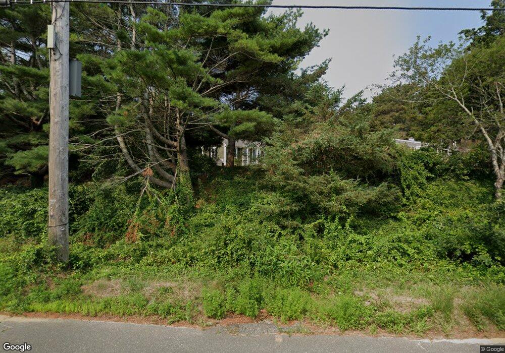
This home is located at 4 Whitmanville Rd, Truro, MA 2666 and is currently estimated at $746,310, approximately $921 per square foot. 4 Whitmanville Rd is a home located in Barnstable County.
Ownership History
Date
Name
Owned For
Owner Type
Purchase Details
Closed on
Dec 28, 2010
Sold by
Charles F Francis T
Bought by
Rachel Kavanaugh Lisa A and Rachel Michael
Current Estimated Value
Home Financials for this Owner
Home Financials are based on the most recent Mortgage that was taken out on this home.
Original Mortgage
$245,025
Outstanding Balance
$162,101
Interest Rate
4.17%
Mortgage Type
Purchase Money Mortgage
Estimated Equity
$584,209
Purchase Details
Closed on
Jul 11, 2007
Sold by
Francis Lorraine S
Bought by
Francis Charles F
Create a Home Valuation Report for This Property
The Home Valuation Report is an in-depth analysis detailing your home's value as well as a comparison with similar homes in the area
Home Values in the Area
Average Home Value in this Area
Purchase History
| Date | Buyer | Sale Price | Title Company |
|---|---|---|---|
| Rachel Kavanaugh Lisa A | $266,000 | -- | |
| Francis Charles F | -- | -- |
Source: Public Records
Mortgage History
| Date | Status | Borrower | Loan Amount |
|---|---|---|---|
| Open | Rachel Kavanaugh Lisa A | $245,025 |
Source: Public Records
Tax History Compared to Growth
Tax History
| Year | Tax Paid | Tax Assessment Tax Assessment Total Assessment is a certain percentage of the fair market value that is determined by local assessors to be the total taxable value of land and additions on the property. | Land | Improvement |
|---|---|---|---|---|
| 2025 | $3,235 | $523,400 | $225,500 | $297,900 |
| 2024 | $3,050 | $509,200 | $223,300 | $285,900 |
| 2023 | $2,894 | $442,500 | $194,100 | $248,400 |
| 2022 | $2,798 | $362,000 | $167,300 | $194,700 |
| 2021 | $2,539 | $344,000 | $167,300 | $176,700 |
| 2020 | $2,497 | $340,700 | $165,700 | $175,000 |
| 2019 | $2,342 | $314,300 | $165,700 | $148,600 |
| 2018 | $2,248 | $305,000 | $165,700 | $139,300 |
| 2017 | $2,097 | $300,400 | $165,700 | $134,700 |
| 2016 | $2,015 | $297,700 | $164,100 | $133,600 |
| 2015 | $1,939 | $292,400 | $162,400 | $130,000 |
Source: Public Records
Map
Nearby Homes
- 6 Long Nook Ln
- 5 Sylvan Ln
- 2 Aldrich Rd
- 2 Amanda Ln
- 4 Resolution Rd
- 9 Kinnikinnick Rd
- 25 Resolution Rd
- 7 Great Hollow Rd Unit 50
- 7 Great Hollow Rd Unit 50
- 3 Bayberry Rd
- 2 Meetinghouse Rd Unit 2
- 7 Fishermans Rd
- 52 Corn Hill Rd
- 18 Hopkins Way
- 208 Route 6
- 63 Old Kings Hwy
- 35A Higgins Hollow Rd
- 25 Noons Dr
- 27 Fishermans Rd
- 4 S Highland Rd Unit C
- 271 Route 6
- 3 Whitmanville Rd
- 6 Whitmanville Rd
- 270 Route 6 Hwy
- 5 Whitmanville Rd
- 1 Morris Ave
- 9 Long Nook Ln
- 8 Whitmanville Rd
- 270 Route 6
- 268 Route 6
- 272 Route 6
- 274 Route 6
- 273 Route 6
- 3 Morris Ave
- 7 Whitmanville Rd
- 7 Longnook Ln
- 10 Whitmanville Rd
- 7 Long Nook Ln
- 4 Morris Ave
- 4 Captain Williams Way