4 Wild Wing Ct Brentwood, TN 37027
Estimated Value: $1,400,051 - $1,975,000
--
Bed
5
Baths
4,188
Sq Ft
$414/Sq Ft
Est. Value
About This Home
This home is located at 4 Wild Wing Ct, Brentwood, TN 37027 and is currently estimated at $1,732,763, approximately $413 per square foot. 4 Wild Wing Ct is a home located in Williamson County with nearby schools including Crockett Elementary School, Woodland Middle School, and Ravenwood High School.
Ownership History
Date
Name
Owned For
Owner Type
Purchase Details
Closed on
Nov 3, 2009
Sold by
Prevost William P
Bought by
Prevost Michelle M
Current Estimated Value
Purchase Details
Closed on
Nov 5, 2004
Sold by
Newmark Homes Lp
Bought by
Prevost William P and Prevost Michele M
Home Financials for this Owner
Home Financials are based on the most recent Mortgage that was taken out on this home.
Original Mortgage
$400,000
Outstanding Balance
$158,968
Interest Rate
2.87%
Mortgage Type
New Conventional
Estimated Equity
$1,573,795
Purchase Details
Closed on
Mar 30, 2004
Sold by
Gc Finance Llc
Bought by
Newmark Homes Lp
Create a Home Valuation Report for This Property
The Home Valuation Report is an in-depth analysis detailing your home's value as well as a comparison with similar homes in the area
Home Values in the Area
Average Home Value in this Area
Purchase History
| Date | Buyer | Sale Price | Title Company |
|---|---|---|---|
| Prevost Michelle M | -- | None Available | |
| Prevost William P | $679,990 | Cumberland Title Company | |
| Newmark Homes Lp | $125,000 | -- |
Source: Public Records
Mortgage History
| Date | Status | Borrower | Loan Amount |
|---|---|---|---|
| Open | Prevost William P | $400,000 |
Source: Public Records
Tax History Compared to Growth
Tax History
| Year | Tax Paid | Tax Assessment Tax Assessment Total Assessment is a certain percentage of the fair market value that is determined by local assessors to be the total taxable value of land and additions on the property. | Land | Improvement |
|---|---|---|---|---|
| 2025 | $4,716 | $370,875 | $112,500 | $258,375 |
| 2024 | $4,716 | $217,325 | $56,250 | $161,075 |
| 2023 | $4,716 | $217,325 | $56,250 | $161,075 |
| 2022 | $4,716 | $217,325 | $56,250 | $161,075 |
| 2021 | $4,716 | $217,325 | $56,250 | $161,075 |
| 2020 | $4,955 | $192,075 | $36,250 | $155,825 |
| 2019 | $4,955 | $192,075 | $36,250 | $155,825 |
| 2018 | $4,821 | $192,075 | $36,250 | $155,825 |
| 2017 | $4,782 | $192,075 | $36,250 | $155,825 |
| 2016 | $0 | $192,075 | $36,250 | $155,825 |
| 2015 | -- | $171,950 | $31,250 | $140,700 |
| 2014 | $757 | $171,950 | $31,250 | $140,700 |
Source: Public Records
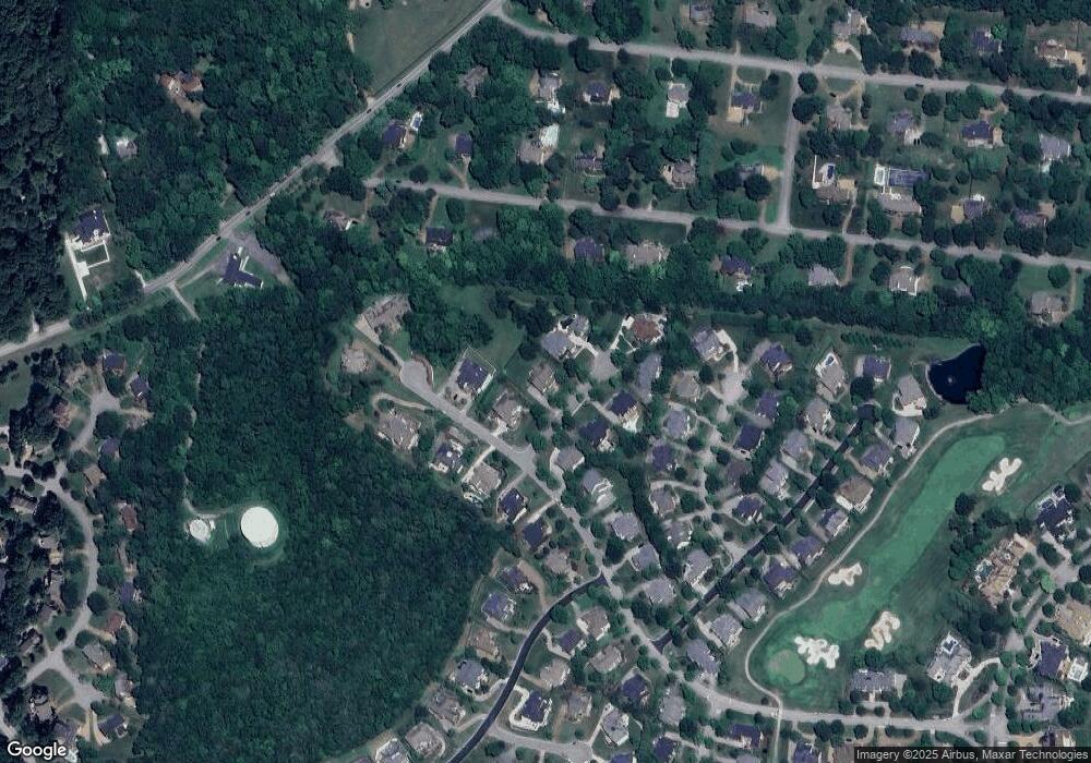
Map
Nearby Homes
- 6 Portrush Ct
- 14 Angel Trace
- 1527 Boreal Ct
- 1255 Morning Glory Ct
- 1529 Richlawn Dr
- 1525 Boreal Ct
- 9572 Hampton Reserve Dr
- 55 Governors Way
- 1534 Rosella Ct
- 10 Tradition Ln
- 9580 Crockett Rd
- 1 Tradition Ln
- 9524 Grand Haven Dr
- 1627 Kaschlina Point
- 3 Prestwick Place
- 9562 Yellow Finch Ct
- 9504 Grand Haven Dr
- 9626 Concord Rd
- 1580 Eastwood Dr
- 1586 Eastwood Dr
- 2 Wild Wing Ct
- 6 Wild Wing Ct
- 31 Missionary Dr
- 3 Wild Wing Ct
- 1 Wild Wing Ct
- 5 Wild Wing Ct
- 8 Wild Wing Ct
- 7 Wild Wing Ct
- 28 Missionary Dr
- 30 Missionary Dr
- 23 Missionary Dr
- 26 Missionary Dr
- 9513 Butler Dr
- 9509 Butler Dr
- 34 Missionary Dr
- 8 Portrush Ct
- 10 Portrush Ct
- 12 Portrush Ct
- 24 Missionary Dr
- 35 Missionary Dr