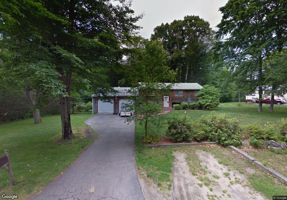
40 Acorn Rd Hanson, MA 02341
Estimated Value: $530,000 - $572,000
3
Beds
1
Bath
1,684
Sq Ft
$326/Sq Ft
Est. Value
About This Home
This home is located at 40 Acorn Rd, Hanson, MA 02341 and is currently estimated at $548,960, approximately $325 per square foot. 40 Acorn Rd is a home located in Plymouth County with nearby schools including St Bridget School.
Ownership History
Date
Name
Owned For
Owner Type
Purchase Details
Closed on
May 12, 2014
Sold by
Ferraro Diane
Bought by
Ferraro David
Current Estimated Value
Purchase Details
Closed on
May 31, 1996
Sold by
Robinson Robert W and Robinson Dorothy J
Bought by
Ferraro David and Ferraro Diane
Home Financials for this Owner
Home Financials are based on the most recent Mortgage that was taken out on this home.
Original Mortgage
$149,600
Interest Rate
7.91%
Mortgage Type
Purchase Money Mortgage
Create a Home Valuation Report for This Property
The Home Valuation Report is an in-depth analysis detailing your home's value as well as a comparison with similar homes in the area
Home Values in the Area
Average Home Value in this Area
Purchase History
| Date | Buyer | Sale Price | Title Company |
|---|---|---|---|
| Ferraro David | $2,000 | -- | |
| Ferraro David | $157,500 | -- |
Source: Public Records
Mortgage History
| Date | Status | Borrower | Loan Amount |
|---|---|---|---|
| Previous Owner | Ferraro David | $272,000 | |
| Previous Owner | Ferraro David | $196,000 | |
| Previous Owner | Ferraro David | $144,000 | |
| Previous Owner | Ferraro David | $149,600 |
Source: Public Records
Tax History Compared to Growth
Tax History
| Year | Tax Paid | Tax Assessment Tax Assessment Total Assessment is a certain percentage of the fair market value that is determined by local assessors to be the total taxable value of land and additions on the property. | Land | Improvement |
|---|---|---|---|---|
| 2025 | $5,967 | $446,000 | $182,800 | $263,200 |
| 2024 | $5,847 | $437,000 | $177,500 | $259,500 |
| 2023 | $5,770 | $406,900 | $177,500 | $229,400 |
| 2022 | $5,586 | $370,200 | $161,400 | $208,800 |
| 2021 | $5,074 | $336,000 | $155,200 | $180,800 |
| 2020 | $4,996 | $327,200 | $149,900 | $177,300 |
| 2019 | $4,789 | $308,400 | $147,000 | $161,400 |
| 2018 | $4,732 | $298,900 | $141,400 | $157,500 |
| 2017 | $4,585 | $286,900 | $134,600 | $152,300 |
| 2016 | $4,576 | $276,500 | $134,600 | $141,900 |
Source: Public Records
Map
Nearby Homes
- 417 Birchbark Dr
- 842 Whitman St
- 33 Tavern Way
- 168 Spring St
- 1057 Whitman St
- Lot 5 Princeton Way
- 22 Howland Trail Unit 34
- 5 Hayford Trail Unit 11
- 7 Hayford Trail Unit 12
- 13 Hayford Trail Unit 15
- 12 Hayford Trail Unit 17
- 57 Liberty St
- 131 Holly Ridge Dr
- 248 E Washington St
- 55 Plymouth St Unit A5
- 214 Winter St
- 35 Dana St
- 418 E Washington St
- 684 South Ave
- Lot 2 Harvard Rd
- 16 Acorn Rd
- 201 Forest Trail
- 45 Acorn Rd
- 35 Acorn Rd
- 66 Acorn Rd
- 21 Acorn Rd
- 215 Forest Trail
- 11 Acorn Rd
- 55 Acorn Rd
- 202 Forest Trail
- 178 Forest Trail
- 214 Forest Trail
- 165 Forest Trail
- 165 Birchbark Dr
- 156 Forest Trail
- 143 Birchbark Dr
- 185 Birchbark Dr
- 153 Forest Trail
- 136 Forest Trail
- 127 Birchbark Dr