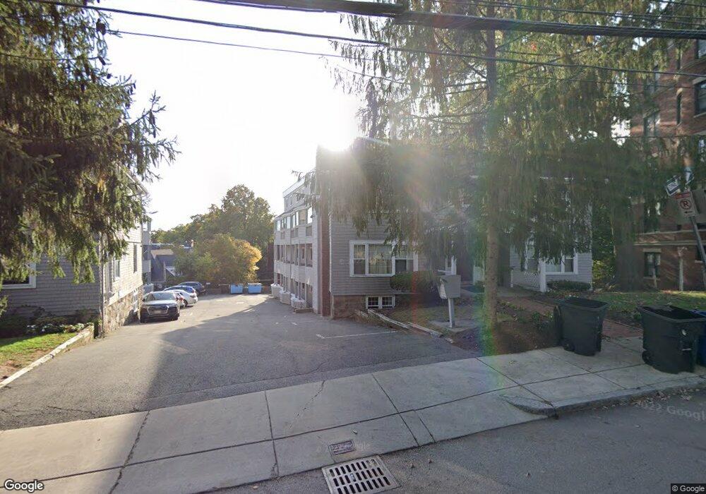
40 Cummings Rd Unit 2 Brighton, MA 02135
Commonwealth NeighborhoodEstimated Value: $754,794 - $976,000
2
Beds
2
Baths
1,456
Sq Ft
$581/Sq Ft
Est. Value
About This Home
This home is located at 40 Cummings Rd Unit 2, Brighton, MA 02135 and is currently estimated at $846,199, approximately $581 per square foot. 40 Cummings Rd Unit 2 is a home located in Suffolk County with nearby schools including Boston Green Academy Horace Mann Charter School, Torah Academy, and Bais Yaakov Of Boston High School.
Ownership History
Date
Name
Owned For
Owner Type
Purchase Details
Closed on
Aug 4, 2006
Sold by
Evans Tegan C
Bought by
Evans Dan H and Evans Tegan C
Current Estimated Value
Home Financials for this Owner
Home Financials are based on the most recent Mortgage that was taken out on this home.
Original Mortgage
$410,750
Outstanding Balance
$244,122
Interest Rate
6.67%
Mortgage Type
Purchase Money Mortgage
Estimated Equity
$602,077
Purchase Details
Closed on
Jul 20, 2006
Sold by
Esdaile Charles D
Bought by
Evans Tegan C
Home Financials for this Owner
Home Financials are based on the most recent Mortgage that was taken out on this home.
Original Mortgage
$410,750
Outstanding Balance
$244,122
Interest Rate
6.67%
Mortgage Type
Purchase Money Mortgage
Estimated Equity
$602,077
Purchase Details
Closed on
May 1, 2001
Sold by
Clark Charles W and Lipner Joanne D
Bought by
Esdaile Charels D
Home Financials for this Owner
Home Financials are based on the most recent Mortgage that was taken out on this home.
Original Mortgage
$200,000
Interest Rate
6.88%
Mortgage Type
Purchase Money Mortgage
Purchase Details
Closed on
Jun 28, 1996
Sold by
Goodman Jodi
Bought by
Clark Charles W and Lipner Joanne D
Home Financials for this Owner
Home Financials are based on the most recent Mortgage that was taken out on this home.
Original Mortgage
$120,000
Interest Rate
8.05%
Mortgage Type
Purchase Money Mortgage
Purchase Details
Closed on
Aug 28, 1992
Sold by
Snyder Nadine C
Bought by
Goodman Jodi
Home Financials for this Owner
Home Financials are based on the most recent Mortgage that was taken out on this home.
Original Mortgage
$153,450
Interest Rate
8.09%
Mortgage Type
Purchase Money Mortgage
Purchase Details
Closed on
Sep 26, 1991
Sold by
Daffner Kirk and Daffner Kirk R
Bought by
Snyder Nadine C
Home Financials for this Owner
Home Financials are based on the most recent Mortgage that was taken out on this home.
Original Mortgage
$132,500
Interest Rate
9.1%
Mortgage Type
Purchase Money Mortgage
Create a Home Valuation Report for This Property
The Home Valuation Report is an in-depth analysis detailing your home's value as well as a comparison with similar homes in the area
Home Values in the Area
Average Home Value in this Area
Purchase History
| Date | Buyer | Sale Price | Title Company |
|---|---|---|---|
| Evans Dan H | -- | -- | |
| Evans Tegan C | $485,000 | -- | |
| Esdaile Charels D | $283,500 | -- | |
| Clark Charles W | $190,000 | -- | |
| Goodman Jodi | $170,500 | -- | |
| Snyder Nadine C | $157,500 | -- |
Source: Public Records
Mortgage History
| Date | Status | Borrower | Loan Amount |
|---|---|---|---|
| Open | Evans Tegan C | $410,750 | |
| Previous Owner | Snyder Nadine C | $200,000 | |
| Previous Owner | Snyder Nadine C | $120,000 | |
| Previous Owner | Snyder Nadine C | $153,450 | |
| Previous Owner | Snyder Nadine C | $132,500 |
Source: Public Records
Tax History Compared to Growth
Tax History
| Year | Tax Paid | Tax Assessment Tax Assessment Total Assessment is a certain percentage of the fair market value that is determined by local assessors to be the total taxable value of land and additions on the property. | Land | Improvement |
|---|---|---|---|---|
| 2025 | $7,649 | $660,500 | $0 | $660,500 |
| 2024 | $6,368 | $584,200 | $0 | $584,200 |
| 2023 | $6,274 | $584,200 | $0 | $584,200 |
| 2022 | $5,996 | $551,100 | $0 | $551,100 |
| 2021 | $5,880 | $551,100 | $0 | $551,100 |
| 2020 | $5,952 | $563,600 | $0 | $563,600 |
| 2019 | $5,802 | $550,500 | $0 | $550,500 |
| 2018 | $5,393 | $514,600 | $0 | $514,600 |
| 2017 | $5,047 | $476,600 | $0 | $476,600 |
| 2016 | $4,809 | $437,200 | $0 | $437,200 |
| 2015 | $5,069 | $418,600 | $0 | $418,600 |
| 2014 | $4,785 | $380,400 | $0 | $380,400 |
Source: Public Records
Map
Nearby Homes
- 1666 Commonwealth Ave Unit 24
- 1669 Commonwealth Ave Unit 3
- 36 Cummings Rd Unit 1
- 1691 Commonwealth Ave Unit 31
- 1650 Commonwealth Ave Unit 304
- 38 Ransom Rd Unit 12
- 1710 Commonwealth Ave Unit 3
- 1641 Commonwealth Ave Unit 20
- 15 Colliston Rd Unit 6
- 36 Colborne Rd
- 140 Kilsyth Rd Unit 8
- 38 Kilsyth Rd Unit 21
- 24 Selkirk Rd Unit 24-4
- 1607 Commonwealth Ave Unit 14
- 57 Nottinghill Rd
- 8 Kinross Rd Unit 2
- 37 Englewood Ave Unit 3
- 85 Williston Rd
- 47 Englewood Ave
- 123 Nottinghill Rd Unit 1
- 40 Cummings Rd Unit 8
- 40 Cummings Rd Unit 7
- 40 Cummings Rd Unit 6
- 40 Cummings Rd Unit 5
- 40 Cummings Rd Unit 4
- 40 Cummings Rd Unit 3
- 40 Cummings Rd Unit 1
- 40 Cummings Rd Unit 23-4
- 40 Cummings Rd Unit 7,40
- 40 Cummings Rd Unit 9
- 40 Cummings Rd
- 40 Cummings Rd
- 40 Cummings Rd Unit 5,40
- 44 Cummings Rd Unit 4
- 44 Cummings Rd
- 44 Cummings Rd Unit 3
- 44 Cummings Rd Unit 1
- 44 Cummings Rd Unit 2
- 44 Cummings Rd
- 36 Cummings Rd Unit 9