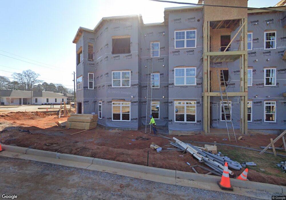
40 Durham St Watkinsville, GA 30677
Estimated Value: $342,000 - $690,000
--
Bed
--
Bath
1,218
Sq Ft
$397/Sq Ft
Est. Value
About This Home
This home is located at 40 Durham St, Watkinsville, GA 30677 and is currently estimated at $483,040, approximately $396 per square foot. 40 Durham St is a home located in Oconee County with nearby schools including Oconee County Elementary School, Oconee County Primary School, and Oconee County Middle School.
Ownership History
Date
Name
Owned For
Owner Type
Purchase Details
Closed on
Sep 13, 2022
Sold by
Christopher Jimmy L
Bought by
Rn Watkinsville Senior Lp
Current Estimated Value
Home Financials for this Owner
Home Financials are based on the most recent Mortgage that was taken out on this home.
Original Mortgage
$1,370,000
Interest Rate
5.13%
Mortgage Type
Mortgage Modification
Purchase Details
Closed on
Nov 4, 2008
Sold by
Not Provided
Bought by
Christopher Jimmy L and Greenway Gwendolyn C
Create a Home Valuation Report for This Property
The Home Valuation Report is an in-depth analysis detailing your home's value as well as a comparison with similar homes in the area
Home Values in the Area
Average Home Value in this Area
Purchase History
| Date | Buyer | Sale Price | Title Company |
|---|---|---|---|
| Rn Watkinsville Senior Lp | $735,000 | -- | |
| Christopher Jimmy L | -- | -- |
Source: Public Records
Mortgage History
| Date | Status | Borrower | Loan Amount |
|---|---|---|---|
| Closed | Rn Watkinsville Senior Lp | $1,370,000 |
Source: Public Records
Tax History Compared to Growth
Tax History
| Year | Tax Paid | Tax Assessment Tax Assessment Total Assessment is a certain percentage of the fair market value that is determined by local assessors to be the total taxable value of land and additions on the property. | Land | Improvement |
|---|---|---|---|---|
| 2024 | $9,694 | $151,913 | $43,200 | $108,713 |
| 2023 | $3,400 | $95,314 | $43,200 | $52,114 |
| 2022 | $1,882 | $77,188 | $43,200 | $33,988 |
| 2021 | $1,389 | $53,093 | $24,200 | $28,893 |
| 2020 | $1,354 | $51,118 | $24,200 | $26,918 |
| 2019 | $1,347 | $50,584 | $24,200 | $26,384 |
| 2018 | $1,131 | $41,649 | $19,800 | $21,849 |
| 2017 | $1,081 | $39,566 | $19,800 | $19,766 |
| 2016 | $1,005 | $36,611 | $17,600 | $19,011 |
| 2015 | $995 | $36,117 | $17,600 | $18,517 |
| 2014 | $992 | $35,206 | $17,600 | $17,606 |
| 2013 | -- | $34,230 | $17,600 | $16,630 |
Source: Public Records
Map
Nearby Homes
- 170 Elliot Cir
- 86 Cedar Dr
- 88 Cedar Dr
- 96 Morrison St Unit 53
- 92 Morrison St Unit 54
- 90 Morrison St Unit 55
- 96 Morrison St
- 90 Morrison St
- 2051 Simonton Bridge Rd
- 1010 Jeremy Dr
- 70, 72 Colham Ferry Extension
- 1036 Falling Leaf Ct Unit 2
- 1036 Falling Leaf Ct
- 1320 Katie Ln
- 1200 Paxton Ct
- 1511 Paxton Ct
- 1810 Paxton Ct
- 1051 Simonton Way
- 1001 Moreland Dr
- 1345 Harmony Bend