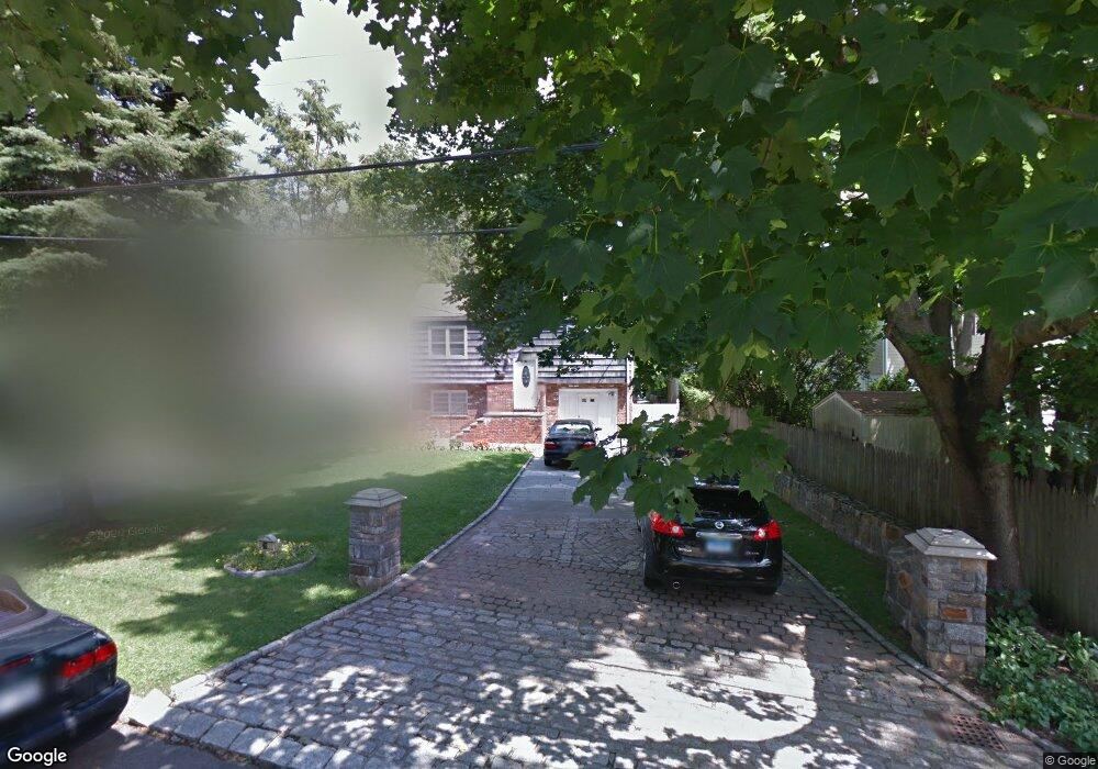
40 Lindsey Ave Stamford, CT 06905
Mid Ridge NeighborhoodEstimated Value: $728,000 - $872,000
3
Beds
2
Baths
2,212
Sq Ft
$360/Sq Ft
Est. Value
About This Home
This home is located at 40 Lindsey Ave, Stamford, CT 06905 and is currently estimated at $797,026, approximately $360 per square foot. 40 Lindsey Ave is a home located in Fairfield County with nearby schools including Julia A. Stark Elementary School, Dolan School, and Stamford High School.
Ownership History
Date
Name
Owned For
Owner Type
Purchase Details
Closed on
Mar 16, 2006
Sold by
Matluck Maria J
Bought by
Chesnovich Bogdan and Chesnovich Nataliya
Current Estimated Value
Home Financials for this Owner
Home Financials are based on the most recent Mortgage that was taken out on this home.
Original Mortgage
$439,200
Outstanding Balance
$271,397
Interest Rate
7.8%
Mortgage Type
Purchase Money Mortgage
Estimated Equity
$525,629
Create a Home Valuation Report for This Property
The Home Valuation Report is an in-depth analysis detailing your home's value as well as a comparison with similar homes in the area
Home Values in the Area
Average Home Value in this Area
Purchase History
| Date | Buyer | Sale Price | Title Company |
|---|---|---|---|
| Chesnovich Bogdan | $549,000 | -- | |
| Chesnovich Bogdan | $549,000 | -- |
Source: Public Records
Mortgage History
| Date | Status | Borrower | Loan Amount |
|---|---|---|---|
| Open | Chesnovich Bogdan | $15,850 | |
| Open | Chesnovich Bogdan | $439,200 | |
| Closed | Chesnovich Bogdan | $109,800 | |
| Closed | Chesnovich Bogdan | $439,200 |
Source: Public Records
Tax History Compared to Growth
Tax History
| Year | Tax Paid | Tax Assessment Tax Assessment Total Assessment is a certain percentage of the fair market value that is determined by local assessors to be the total taxable value of land and additions on the property. | Land | Improvement |
|---|---|---|---|---|
| 2025 | $9,935 | $419,910 | $250,070 | $169,840 |
| 2024 | $9,717 | $419,910 | $250,070 | $169,840 |
| 2023 | $10,439 | $419,910 | $250,070 | $169,840 |
| 2022 | $8,760 | $327,590 | $181,150 | $146,440 |
| 2021 | $8,665 | $327,590 | $181,150 | $146,440 |
| 2020 | $8,442 | $327,590 | $181,150 | $146,440 |
| 2019 | $8,442 | $327,590 | $181,150 | $146,440 |
| 2018 | $8,131 | $327,590 | $181,150 | $146,440 |
| 2017 | $7,565 | $290,950 | $154,000 | $136,950 |
| 2016 | $7,352 | $290,950 | $154,000 | $136,950 |
| 2015 | $7,160 | $290,950 | $154,000 | $136,950 |
| 2014 | $6,922 | $290,950 | $154,000 | $136,950 |
Source: Public Records
Map
Nearby Homes
- 17 Lindsey Ave
- 18 Oaklawn Ave
- 27 Crane Rd N
- 543 Newfield Ave
- 59 Holbrook Dr
- 182 Turner Rd
- 71 Deleo Dr
- 0 Toms Rd Unit LOT 56
- 51 Glendale Rd
- 53 Cody Dr
- 180 Colonial Rd Unit A8
- 102 Pine Hill Ave Unit A2
- 354 Oaklawn Ave
- 2435 Bedford St Unit 12B
- 2435 Bedford St Unit 14C
- 24 Haig Ave
- 88 Pine Hill Ave
- 22 Hastings Ln
- 172 Joffre Ave
- 49 Plymouth Rd
- 36 Lindsey Ave
- 28 Lindsey Ave
- 4 Brighton Place
- 12 Brighton Place
- 20 Brighton Place
- 51 Lindsey Ave
- 30 Lindsey Ave
- 24 Lindsey Ave
- 13 Brighton Place
- 39 Lindsey Ave
- 29 Lindsey Ave
- 27 Lindsey Ave
- 26 Brighton Place
- 5 Brighton Place
- 28 Oaklawn Ave
- 30 Oaklawn Ave
- 16 Lindsey Ave
- 36 Oaklawn Ave
- 23 Brighton Place
- 22 Oaklawn Ave