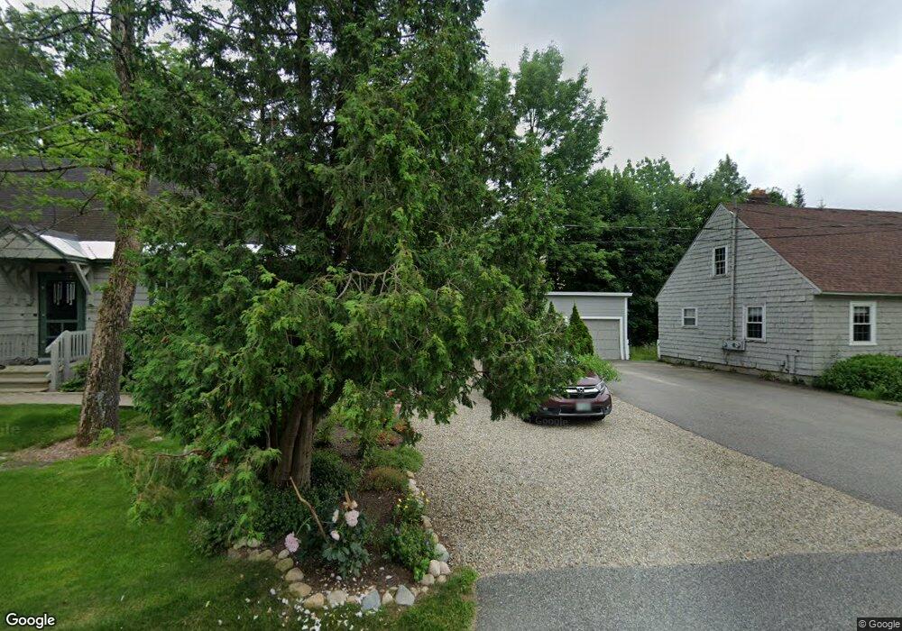
40 Pollard Rd Lincoln, NH 03251
Estimated Value: $423,164 - $750,000
2
Beds
1
Bath
1,044
Sq Ft
$524/Sq Ft
Est. Value
About This Home
This home is located at 40 Pollard Rd, Lincoln, NH 03251 and is currently estimated at $546,541, approximately $523 per square foot. 40 Pollard Rd is a home located in Grafton County with nearby schools including Lin-Wood Public Elementary School.
Ownership History
Date
Name
Owned For
Owner Type
Purchase Details
Closed on
Dec 7, 2010
Sold by
Fnma
Bought by
Weeden Ryan B and Weeden Jasmine K
Current Estimated Value
Home Financials for this Owner
Home Financials are based on the most recent Mortgage that was taken out on this home.
Original Mortgage
$129,465
Interest Rate
4.22%
Mortgage Type
Purchase Money Mortgage
Purchase Details
Closed on
Jul 29, 2010
Sold by
Strickland Priscilla M and Fnma
Bought by
Federal National Mortgage Association
Create a Home Valuation Report for This Property
The Home Valuation Report is an in-depth analysis detailing your home's value as well as a comparison with similar homes in the area
Home Values in the Area
Average Home Value in this Area
Purchase History
| Date | Buyer | Sale Price | Title Company |
|---|---|---|---|
| Weeden Ryan B | $129,500 | -- | |
| Federal National Mortgage Association | $161,100 | -- |
Source: Public Records
Mortgage History
| Date | Status | Borrower | Loan Amount |
|---|---|---|---|
| Open | Federal National Mortgage Association | $158,700 | |
| Closed | Federal National Mortgage Association | $129,465 | |
| Previous Owner | Federal National Mortgage Association | $300,240 |
Source: Public Records
Tax History Compared to Growth
Tax History
| Year | Tax Paid | Tax Assessment Tax Assessment Total Assessment is a certain percentage of the fair market value that is determined by local assessors to be the total taxable value of land and additions on the property. | Land | Improvement |
|---|---|---|---|---|
| 2024 | $3,652 | $312,700 | $143,600 | $169,100 |
| 2023 | $3,652 | $312,700 | $143,600 | $169,100 |
| 2022 | $3,299 | $312,700 | $143,600 | $169,100 |
| 2021 | $3,296 | $312,700 | $143,600 | $169,100 |
| 2018 | $2,426 | $171,300 | $58,800 | $112,500 |
| 2016 | $2,013 | $152,600 | $58,800 | $93,800 |
| 2015 | $2,307 | $167,400 | $69,400 | $98,000 |
| 2014 | $2,310 | $167,400 | $69,400 | $98,000 |
| 2009 | $1,829 | $200,760 | $98,730 | $102,030 |
Source: Public Records
Map
Nearby Homes
- 51 Pollard Rd Unit 1
- 227 Main St Unit 231
- 227 Main St Unit 305
- 227 Main St Unit 106
- 227 Main St Unit 235
- 227 Main St Unit 224
- 8 Louis Ln
- 36 Lodge Rd Unit D213
- 36 Lodge Rd Unit C-313
- 36 Lodge Rd Unit 102
- 36 Lodge Rd Unit D115
- 302 S Peak Rd
- 130 Friendship Ct
- 254 S Peak Rd
- 156 Crooked Mountain Rd
- 42 Forest Dr
- 4 Firelight Ln Unit 4B
- 10 Bunker Ln Unit 114
- 52 Bunker Ln Unit 2
- 5A Firelight Ln Unit 5A
- 36 Pollard Rd
- 10 Bourassa Rd
- 44 Pollard Rd
- 45 Pollard Rd
- 45 Pollard Rd Unit 1
- 45 Pollard Rd Unit 2
- 16 Bourassa Rd
- 0 Bourassa Rd
- 35 Pollard Rd
- 12 Boyle St
- 4 Boyle St
- 20 Bourassa Rd
- 7 Bourassa Rd
- 51 Pollard Rd Unit 3
- 51 Pollard Rd Unit 4
- 51 Pollard Rd
- 51 Pollard Rd Unit 2
- 51 Pollard Rd Unit 113
- 51 Pollard Rd Unit 112
- 11 Bourassa Rd