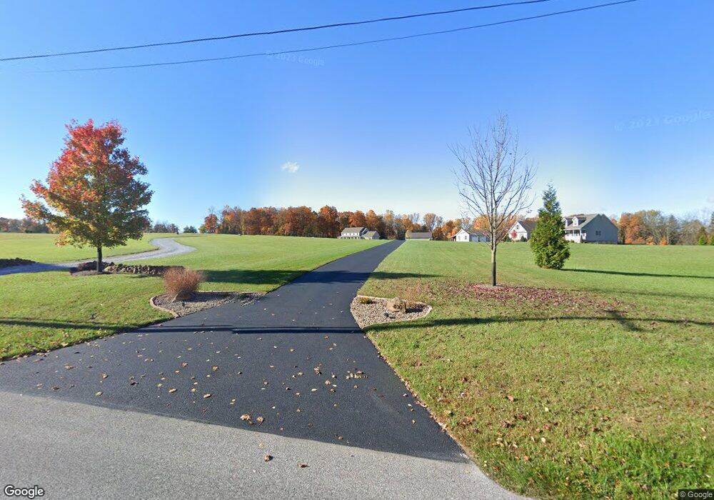
400 Chestnut Grove Rd Dillsburg, PA 17019
Estimated Value: $353,000 - $674,000
3
Beds
3
Baths
2,236
Sq Ft
$238/Sq Ft
Est. Value
About This Home
This home is located at 400 Chestnut Grove Rd, Dillsburg, PA 17019 and is currently estimated at $532,920, approximately $238 per square foot. 400 Chestnut Grove Rd is a home with nearby schools including Northern Middle School and Northern High School.
Ownership History
Date
Name
Owned For
Owner Type
Purchase Details
Closed on
Mar 28, 2014
Sold by
Quad Associates
Bought by
Dorsey Jacob A and Dorsey Pamela J
Current Estimated Value
Home Financials for this Owner
Home Financials are based on the most recent Mortgage that was taken out on this home.
Original Mortgage
$70,000
Outstanding Balance
$53,253
Interest Rate
4.36%
Mortgage Type
Purchase Money Mortgage
Estimated Equity
$479,667
Create a Home Valuation Report for This Property
The Home Valuation Report is an in-depth analysis detailing your home's value as well as a comparison with similar homes in the area
Home Values in the Area
Average Home Value in this Area
Purchase History
| Date | Buyer | Sale Price | Title Company |
|---|---|---|---|
| Dorsey Jacob A | $142,500 | None Available |
Source: Public Records
Mortgage History
| Date | Status | Borrower | Loan Amount |
|---|---|---|---|
| Open | Dorsey Jacob A | $70,000 |
Source: Public Records
Tax History Compared to Growth
Tax History
| Year | Tax Paid | Tax Assessment Tax Assessment Total Assessment is a certain percentage of the fair market value that is determined by local assessors to be the total taxable value of land and additions on the property. | Land | Improvement |
|---|---|---|---|---|
| 2025 | $9,790 | $323,710 | $82,350 | $241,360 |
| 2024 | $9,503 | $323,710 | $82,350 | $241,360 |
| 2023 | $9,328 | $323,710 | $82,350 | $241,360 |
| 2022 | $9,146 | $323,710 | $82,350 | $241,360 |
| 2021 | $8,600 | $323,710 | $82,350 | $241,360 |
| 2020 | $8,414 | $323,710 | $82,350 | $241,360 |
| 2019 | $8,222 | $323,710 | $82,350 | $241,360 |
| 2018 | $8,062 | $323,710 | $82,350 | $241,360 |
| 2017 | $7,598 | $323,710 | $82,350 | $241,360 |
| 2016 | $0 | $305,090 | $82,350 | $222,740 |
| 2015 | -- | $69,850 | $69,850 | $0 |
Source: Public Records
Map
Nearby Homes
- 640 Mumper Ln
- 302 Cedar St
- Lot 2A Nursery Rd
- Lot 3A Nursery Rd
- Lot 2 Nursery Rd
- Lot 1 Nursery Rd
- 132 Stonebridge Dr
- Molly Plan at Logan Meadows
- Brindlee Plan at Logan Meadows
- Blue Ridge Plan at Logan Meadows
- Georgia Mae Plan at Logan Meadows
- Copper Beech Plan at Logan Meadows
- Abbey Plan at Logan Meadows
- Beacon Pointe Plan at Logan Meadows
- 389 Santa Anita Dr
- 391 Santa Anita Dr
- 394 Santa Anita Dr
- 0 Brindlee Plan at Logan Meadows Unit PAYK2077764
- 0 Beacon Pointe Plan at Logan Meadows Unit PAYK2077894
- 0 Molly Plan at Logan Meadows Unit PAYK2092946
- 430 Chestnut Grove Rd
- 440 Chestnut Grove Rd
- 150 Dorsey Ln
- 450 Chestnut Grove Rd
- 140 Dorsey Ln
- 140 Dorseys Ln
- 370 Chestnut Grove Rd
- 235 Dorsey Ln
- 0 Chestnut Grove Rd Unit 20803474
- Lot Chestnut Grove Rd
- 0 Chestnut Grove Rd Unit 10246155
- 117 Dorseys Ln
- 619 Mumper Ln
- 128 Dorseys Ln
- 132 Dorsey Ln
- 480 Chestnut Grove Rd
- 126 Dorsey Ln
- 124 Dorsey Ln
- 113 Dorseys Ln
- 115 Dorsey Ln