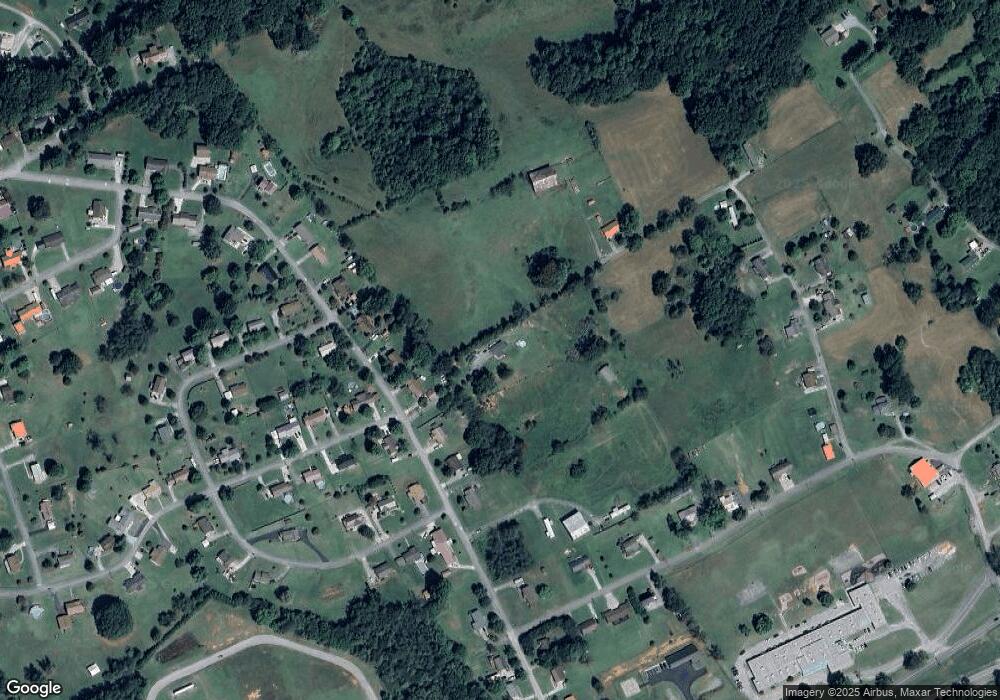
400 Harvey Dr Russellville, TN 37860
Estimated Value: $220,000 - $282,000
--
Bed
2
Baths
1,398
Sq Ft
$171/Sq Ft
Est. Value
About This Home
This home is located at 400 Harvey Dr, Russellville, TN 37860 and is currently estimated at $239,564, approximately $171 per square foot. 400 Harvey Dr is a home located in Hamblen County with nearby schools including Russellville Elementary School, East Ridge Middle School, and Morristown East High School.
Ownership History
Date
Name
Owned For
Owner Type
Purchase Details
Closed on
Aug 22, 2019
Sold by
Capron Tabitha
Bought by
Capron Tabitha and Capron Jeremy
Current Estimated Value
Purchase Details
Closed on
Apr 19, 2017
Sold by
Parsons Donald C
Bought by
Capron Tabitha
Purchase Details
Closed on
Oct 4, 2006
Sold by
Cole Bruce A
Bought by
Parsons Donald C
Home Financials for this Owner
Home Financials are based on the most recent Mortgage that was taken out on this home.
Original Mortgage
$96,485
Interest Rate
6.36%
Purchase Details
Closed on
Jun 12, 2003
Sold by
Clonce John L
Bought by
Cole Bruce A
Home Financials for this Owner
Home Financials are based on the most recent Mortgage that was taken out on this home.
Original Mortgage
$64,000
Interest Rate
5.43%
Purchase Details
Closed on
Sep 15, 1988
Bought by
Clonce Patsy Ann and John Leslie
Create a Home Valuation Report for This Property
The Home Valuation Report is an in-depth analysis detailing your home's value as well as a comparison with similar homes in the area
Home Values in the Area
Average Home Value in this Area
Purchase History
| Date | Buyer | Sale Price | Title Company |
|---|---|---|---|
| Capron Tabitha | -- | None Available | |
| Capron Tabitha | -- | -- | |
| Parsons Donald C | $98,000 | -- | |
| Cole Bruce A | $80,000 | -- | |
| Clonce Patsy Ann | $10,000 | -- |
Source: Public Records
Mortgage History
| Date | Status | Borrower | Loan Amount |
|---|---|---|---|
| Previous Owner | Clonce Patsy Ann | $96,485 | |
| Previous Owner | Clonce Patsy Ann | $64,000 |
Source: Public Records
Tax History Compared to Growth
Tax History
| Year | Tax Paid | Tax Assessment Tax Assessment Total Assessment is a certain percentage of the fair market value that is determined by local assessors to be the total taxable value of land and additions on the property. | Land | Improvement |
|---|---|---|---|---|
| 2024 | $661 | $33,550 | $13,475 | $20,075 |
| 2023 | $661 | $33,550 | $0 | $0 |
| 2022 | $661 | $33,550 | $13,475 | $20,075 |
| 2021 | $661 | $33,550 | $13,475 | $20,075 |
| 2020 | $611 | $33,550 | $13,475 | $20,075 |
| 2019 | $611 | $28,675 | $12,725 | $15,950 |
| 2018 | $611 | $28,675 | $12,725 | $15,950 |
| 2017 | $611 | $28,675 | $12,725 | $15,950 |
| 2016 | $571 | $28,675 | $12,725 | $15,950 |
| 2015 | $476 | $25,750 | $12,725 | $13,025 |
| 2014 | -- | $25,750 | $12,725 | $13,025 |
| 2013 | -- | $30,225 | $0 | $0 |
Source: Public Records
Map
Nearby Homes
- 233 Harvey Dr
- 5740 Dodson Ferry Rd
- 770 Harvey Dr
- 5790 N 2nd St
- 505 Mary St
- 354 Volunteer Dr
- 6284 Old Russellville Pike
- 5659 Browning Way
- 5085 Old Kentucky Rd
- 6330 Old Russellville Pike
- 6421 Old Russellville Pike
- 1708 Boardwalk Cir
- 5556 Denton Dr
- 00 Shinbone E Sugar Hollow Rd
- 6563 E Andrew Johnson Hwy
- 6650 E Andrew Johnson Hwy
- 4907 Barton Springs Dr
- 670 Jones Franklin Rd
- 422 Harvey Dr
- 382 Harvey Dr
- 442 Harvey Dr
- 342 Harvey Dr
- 472 Harvey Dr
- 312 Harvey Dr
- 5665 Thompsie Dr
- 524 Harvey Dr
- 565 Hayes Rd
- 343 Harvey Dr
- 343 Harvey Dr
- 498 Cambridge Cir
- Lot 39 Harvey Dr
- 362 Cambridge Cir
- 5635 Thompsie Dr
- 5634 Thompsie Dr
- 544 Harvey Dr
- 497 Cambridge Cir
- 297 Harvey Dr
- 372 Cambridge Cir
