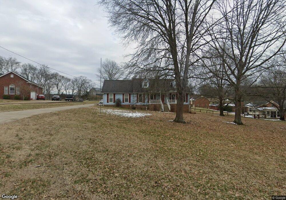
400 Rice Ct Hendersonville, TN 37075
Estimated Value: $492,974 - $599,000
--
Bed
3
Baths
2,128
Sq Ft
$264/Sq Ft
Est. Value
About This Home
This home is located at 400 Rice Ct, Hendersonville, TN 37075 and is currently estimated at $561,244, approximately $263 per square foot. 400 Rice Ct is a home located in Sumner County with nearby schools including Beech Elementary School, T.W. Hunter Middle School, and Beech High School.
Ownership History
Date
Name
Owned For
Owner Type
Purchase Details
Closed on
Jun 28, 2008
Sold by
Bartolome Luis D
Bought by
Shonts William E and Shonts Betty Lee
Current Estimated Value
Home Financials for this Owner
Home Financials are based on the most recent Mortgage that was taken out on this home.
Original Mortgage
$228,000
Outstanding Balance
$146,267
Interest Rate
5.96%
Mortgage Type
Purchase Money Mortgage
Estimated Equity
$414,977
Purchase Details
Closed on
Nov 26, 2003
Sold by
Oliver James T and Oliver Cathy
Bought by
Bartolome Luis D
Create a Home Valuation Report for This Property
The Home Valuation Report is an in-depth analysis detailing your home's value as well as a comparison with similar homes in the area
Home Values in the Area
Average Home Value in this Area
Purchase History
| Date | Buyer | Sale Price | Title Company |
|---|---|---|---|
| Shonts William E | $240,000 | Cumberland Title | |
| Bartolome Luis D | $169,000 | Amtitle & Escrow Llc |
Source: Public Records
Mortgage History
| Date | Status | Borrower | Loan Amount |
|---|---|---|---|
| Open | Shonts William E | $228,000 |
Source: Public Records
Tax History Compared to Growth
Tax History
| Year | Tax Paid | Tax Assessment Tax Assessment Total Assessment is a certain percentage of the fair market value that is determined by local assessors to be the total taxable value of land and additions on the property. | Land | Improvement |
|---|---|---|---|---|
| 2024 | $1,685 | $118,575 | $25,000 | $93,575 |
| 2023 | $1,629 | $72,325 | $29,125 | $43,200 |
| 2022 | $1,636 | $72,325 | $29,125 | $43,200 |
| 2021 | $1,636 | $72,325 | $29,125 | $43,200 |
| 2020 | $1,636 | $72,325 | $29,125 | $43,200 |
| 2019 | $1,636 | $0 | $0 | $0 |
| 2018 | $1,348 | $0 | $0 | $0 |
| 2017 | $1,348 | $0 | $0 | $0 |
| 2016 | $1,348 | $0 | $0 | $0 |
| 2015 | -- | $0 | $0 | $0 |
| 2014 | -- | $0 | $0 | $0 |
Source: Public Records
Map
Nearby Homes
- 1019 Kidron Way
- 1206 Newmans Trail
- 1032 Luxborough Dr
- 1419 Latimer Ln
- 210 the Hollows Ct
- 1043 Dorset Dr
- 1016 Luxborough Dr
- 1007 Newmans Trail
- 2236 New Hope Rd
- 2712 Long Hollow Pike
- 967 Luxborough Dr
- 107 Fawn Ct
- 1022 Tower Hill Ln
- 1026 Kendall Farms Dr
- 1003 Thistle Ct
- 2595 Long Hollow Pike
- 1535 Mount Olivet Rd
- 0 New Hope Rd Unit RTC3000799
- 0 New Hope Rd Unit RTC2582441
- 1111 Stirlingshire Dr
- 1410 Newmans Trail
- 402 Rice Ct
- 1408 Newmans Trail
- 401 Rice Ct
- 1415 Newmans Trail
- 404 Rice Ct
- 405 Rice Ct
- 403 Rice Ct
- 1413 Newmans Trail
- 1411 Newmans Trail
- 1501 Newmans Trail
- 1502 Newmans Trail
- 1409 Newmans Trail
- 1407 Newmans Trail
- 1504 Newmans Trail
- 1405 Newmans Trail
- 1402 Newmans Trail
- 105 Elizer St
- 1403 Newmans Trail
- 1506 Newmans Trail