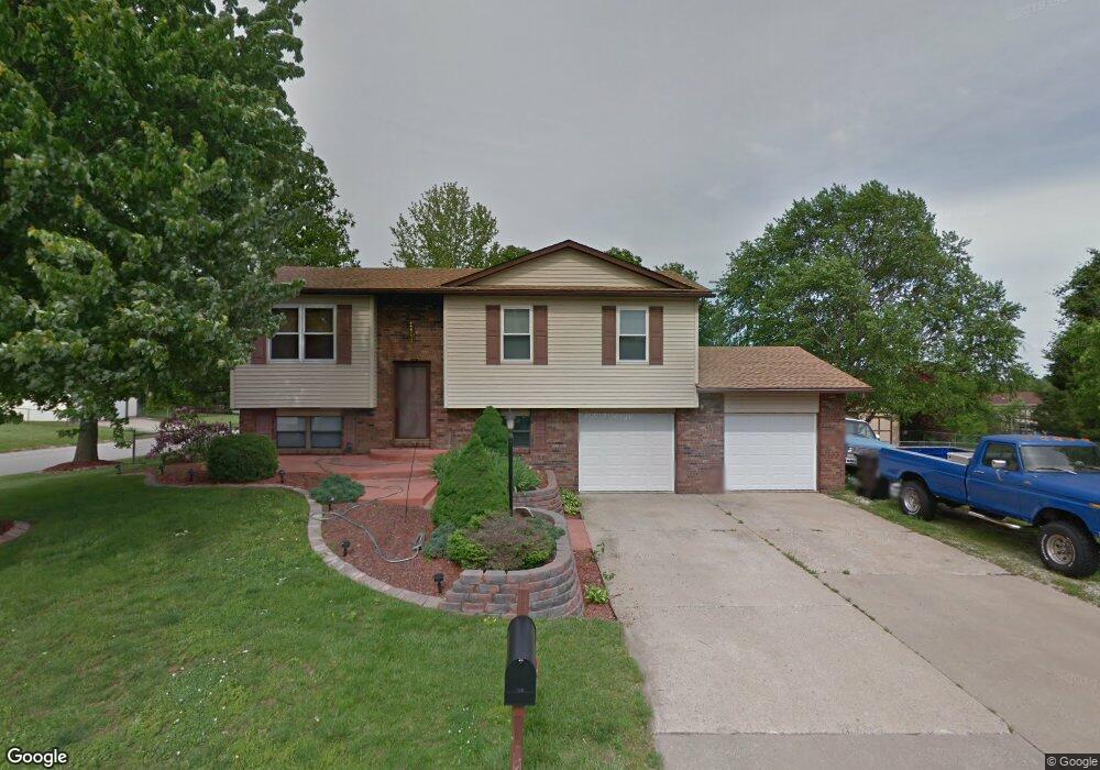
400 Saint Anthony Dr Godfrey, IL 62035
Estimated Value: $185,000 - $206,000
3
Beds
2
Baths
920
Sq Ft
$215/Sq Ft
Est. Value
About This Home
This home is located at 400 Saint Anthony Dr, Godfrey, IL 62035 and is currently estimated at $197,941, approximately $215 per square foot. 400 Saint Anthony Dr is a home located in Madison County with nearby schools including Lewis & Clark Elementary School, Alton Middle School, and Alton High School.
Ownership History
Date
Name
Owned For
Owner Type
Purchase Details
Closed on
May 18, 2007
Sold by
Morris Dwight and Morris Shaunte
Bought by
Stange Joseph B
Current Estimated Value
Home Financials for this Owner
Home Financials are based on the most recent Mortgage that was taken out on this home.
Original Mortgage
$122,550
Outstanding Balance
$74,706
Interest Rate
6.21%
Mortgage Type
Purchase Money Mortgage
Estimated Equity
$123,235
Purchase Details
Closed on
Dec 22, 2004
Sold by
Barton Matthew C
Bought by
Morris Shaunte and Morris Dwight
Home Financials for this Owner
Home Financials are based on the most recent Mortgage that was taken out on this home.
Original Mortgage
$115,425
Interest Rate
8.55%
Mortgage Type
Purchase Money Mortgage
Create a Home Valuation Report for This Property
The Home Valuation Report is an in-depth analysis detailing your home's value as well as a comparison with similar homes in the area
Home Values in the Area
Average Home Value in this Area
Purchase History
| Date | Buyer | Sale Price | Title Company |
|---|---|---|---|
| Stange Joseph B | $129,000 | Community Title & Escrow Ltd | |
| Morris Shaunte | $121,500 | Community Title & Escrow Ltd |
Source: Public Records
Mortgage History
| Date | Status | Borrower | Loan Amount |
|---|---|---|---|
| Open | Stange Joseph B | $122,550 | |
| Previous Owner | Morris Shaunte | $115,425 |
Source: Public Records
Tax History Compared to Growth
Tax History
| Year | Tax Paid | Tax Assessment Tax Assessment Total Assessment is a certain percentage of the fair market value that is determined by local assessors to be the total taxable value of land and additions on the property. | Land | Improvement |
|---|---|---|---|---|
| 2024 | $3,720 | $61,180 | $6,620 | $54,560 |
| 2023 | $3,720 | $56,480 | $6,110 | $50,370 |
| 2022 | $3,522 | $51,650 | $5,590 | $46,060 |
| 2021 | $3,170 | $48,580 | $5,260 | $43,320 |
| 2020 | $3,104 | $47,530 | $5,150 | $42,380 |
| 2019 | $3,168 | $46,290 | $5,020 | $41,270 |
| 2018 | $3,115 | $44,320 | $4,810 | $39,510 |
| 2017 | $2,967 | $44,320 | $4,810 | $39,510 |
| 2016 | $2,882 | $44,320 | $4,810 | $39,510 |
| 2015 | $2,580 | $42,930 | $4,660 | $38,270 |
| 2014 | $2,580 | $42,930 | $4,660 | $38,270 |
| 2013 | $2,580 | $42,930 | $4,660 | $38,270 |
Source: Public Records
Map
Nearby Homes
- 421 Saint John Dr
- 223 Bachman Ln
- 5775 Roach Rd
- 123 Tolle Ln
- 5667 Humbert Rd
- 5661 Humbert Rd
- 0 Humbert Rd Unit MIS25052876
- 4805 Wick Mor Dr
- 6002 Wenzel Rd
- 504 Elm St
- 00 Pine Ridge Lot#52 Dr
- 212 Pine Ridge Dr
- 4814 Azalea Place Unit 2
- 607 Mulberry St
- 4824 Azalea Place Unit 2
- 4803 Azalea Place Unit 1
- 4801 Azalea Place Unit 2
- 0 Happy Ct
- 709 Pardee Rd
- 5510 Lamotte Ln
- 5924 Roach Rd
- 5920 Roach Rd
- 340 Saint Anthony Dr
- 404 Saint Anthony Dr
- 401 Saint Anthony Dr
- 6000 Roach Rd
- 403 Saint Anthony Dr
- 5914 Roach Rd
- 338 Saint Anthony Dr
- 339 Saint Anthony Dr
- 6002 Roach Rd
- 405 Saint Anthony Dr
- 406 Saint Anthony Dr
- 337 Saint Anthony Dr
- 5925 Roach Rd
- 336 Saint Anthony Dr
- 5910 Roach Rd
- 6006 Roach Rd
- 120 Stcharles
- 120 Saint Charles Dr