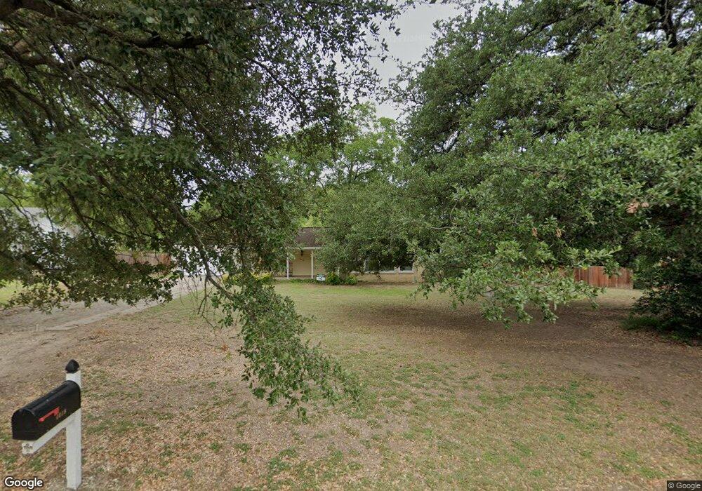
4018 N 31st St Waco, TX 76708
Cedar Ridge NeighborhoodEstimated Value: $270,000 - $339,000
3
Beds
2
Baths
1,951
Sq Ft
$155/Sq Ft
Est. Value
About This Home
This home is located at 4018 N 31st St, Waco, TX 76708 and is currently estimated at $302,177, approximately $154 per square foot. 4018 N 31st St is a home located in McLennan County with nearby schools including Cedar Ridge Elementary School, Waco High School, and Rapoport Academy El - North Campus.
Ownership History
Date
Name
Owned For
Owner Type
Purchase Details
Closed on
Jan 27, 2015
Sold by
Guy Richard N and Guy Tiffany L
Bought by
Lee Kyle E and Lee Kimberly A
Current Estimated Value
Home Financials for this Owner
Home Financials are based on the most recent Mortgage that was taken out on this home.
Original Mortgage
$54,000
Outstanding Balance
$19,224
Interest Rate
3.83%
Mortgage Type
New Conventional
Estimated Equity
$282,953
Create a Home Valuation Report for This Property
The Home Valuation Report is an in-depth analysis detailing your home's value as well as a comparison with similar homes in the area
Home Values in the Area
Average Home Value in this Area
Purchase History
| Date | Buyer | Sale Price | Title Company |
|---|---|---|---|
| Lee Kyle E | -- | None Available |
Source: Public Records
Mortgage History
| Date | Status | Borrower | Loan Amount |
|---|---|---|---|
| Open | Lee Kyle E | $54,000 |
Source: Public Records
Tax History Compared to Growth
Tax History
| Year | Tax Paid | Tax Assessment Tax Assessment Total Assessment is a certain percentage of the fair market value that is determined by local assessors to be the total taxable value of land and additions on the property. | Land | Improvement |
|---|---|---|---|---|
| 2025 | $5,056 | $267,550 | $39,470 | $228,080 |
| 2024 | $6,616 | $293,289 | $0 | $0 |
| 2023 | $4,784 | $213,408 | $0 | $0 |
| 2022 | $4,884 | $194,007 | $0 | $0 |
| 2021 | $4,689 | $176,370 | $25,050 | $151,320 |
| 2020 | $4,647 | $171,380 | $23,950 | $147,430 |
| 2019 | $4,504 | $160,110 | $22,840 | $137,270 |
| 2018 | $4,149 | $146,010 | $21,730 | $124,280 |
| 2017 | $4,143 | $145,330 | $20,620 | $124,710 |
| 2016 | $3,944 | $138,350 | $20,400 | $117,950 |
| 2015 | $3,008 | $122,870 | $19,960 | $102,910 |
| 2014 | $3,008 | $123,510 | $30,000 | $93,510 |
Source: Public Records
Map
Nearby Homes
- 3230 Village Park Dr
- 4000 N 30th St
- 2918 Maple Hill Cir
- 2906 Maple Hill Cir
- 3300 Oakridge Ln
- 3310 Lake Heights Dr
- 3401 Oakridge Ln
- 3900 N 27th St
- 2800 Stewart Dr
- 3408 Stewart Cir
- 2905 Lake Shore Dr Unit 206
- 2901 Lake Shore Dr Unit 407
- 3600 Macarthur Dr
- 2903 Lake Shore Dr Unit 303
- 3015 Sturgis Ln
- 3412 Sturgis Ln
- 4012 N 25th St
- 3636 N 26th St
- 3400 Obrien Cir
- 3405 Macarthur Dr
- 4012 N 31st St
- 4100 N 31st St
- 3225 Village Park Dr
- 3221 Village Park Dr
- 4008 N 31st St
- 3229 Village Park Dr
- 4004 N 31st St
- 3113 Oakridge Ln
- 4112 N 31st St
- 3233 Village Park Dr
- 4101 N 31st St
- 4000 N 31st St
- 3217 Village Park Dr
- 4001 N 31st St
- 3218 Village Park Dr
- 3237 Village Park Dr
- 3224 Village Park Dr
- 4124 N 31st St
- 3117 Oakridge Ln
- 3213 Village Park Dr